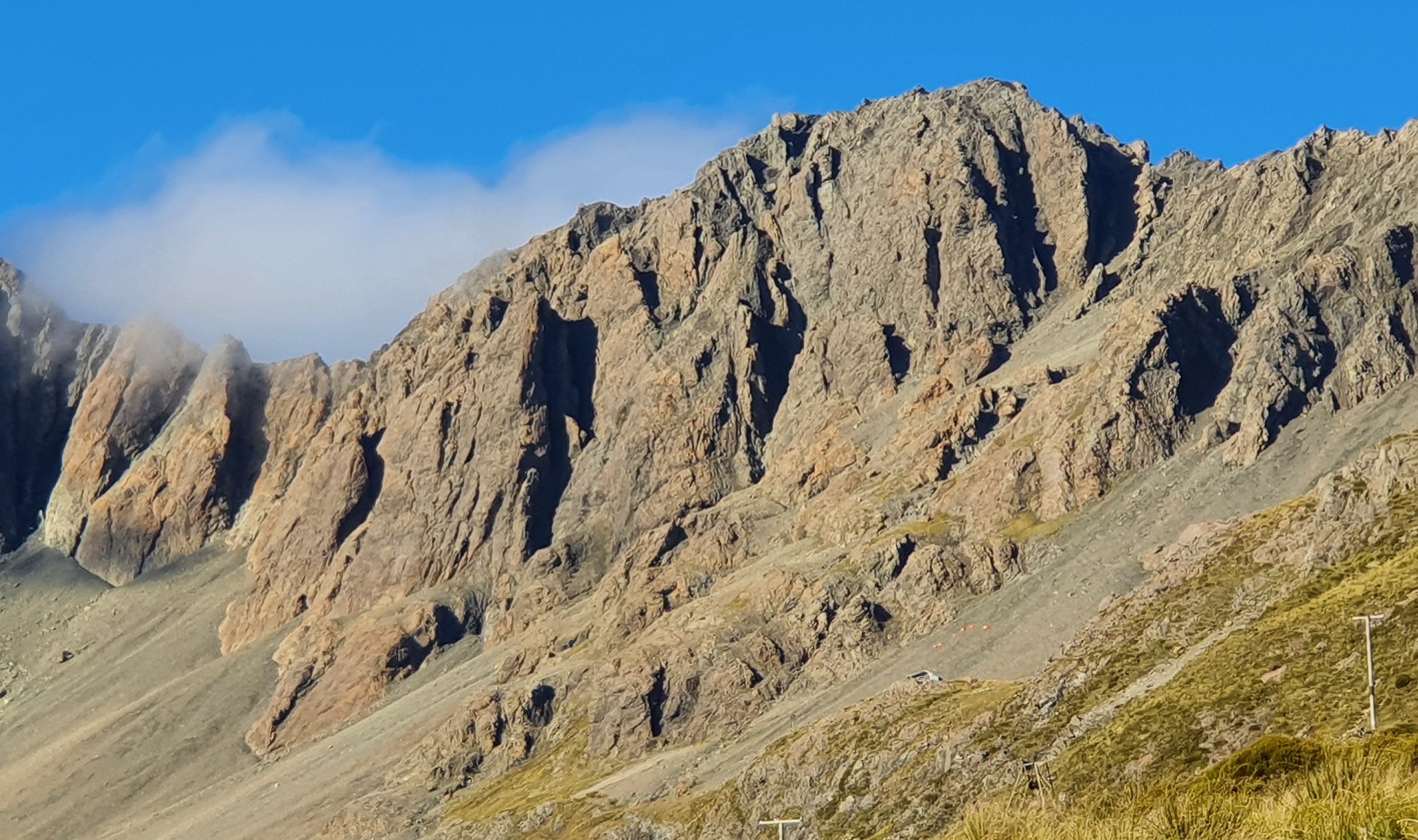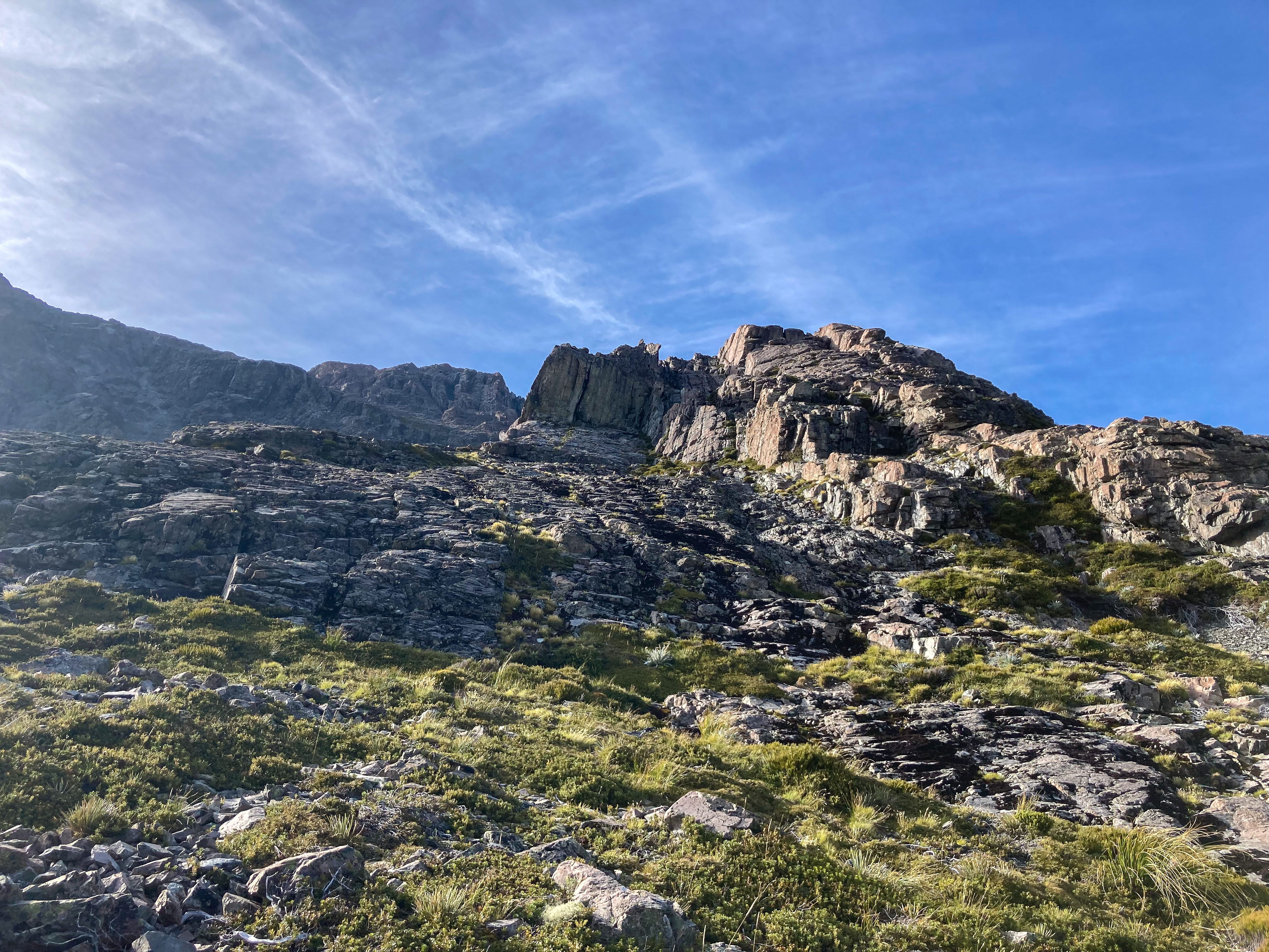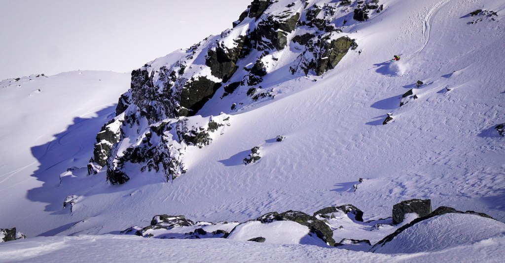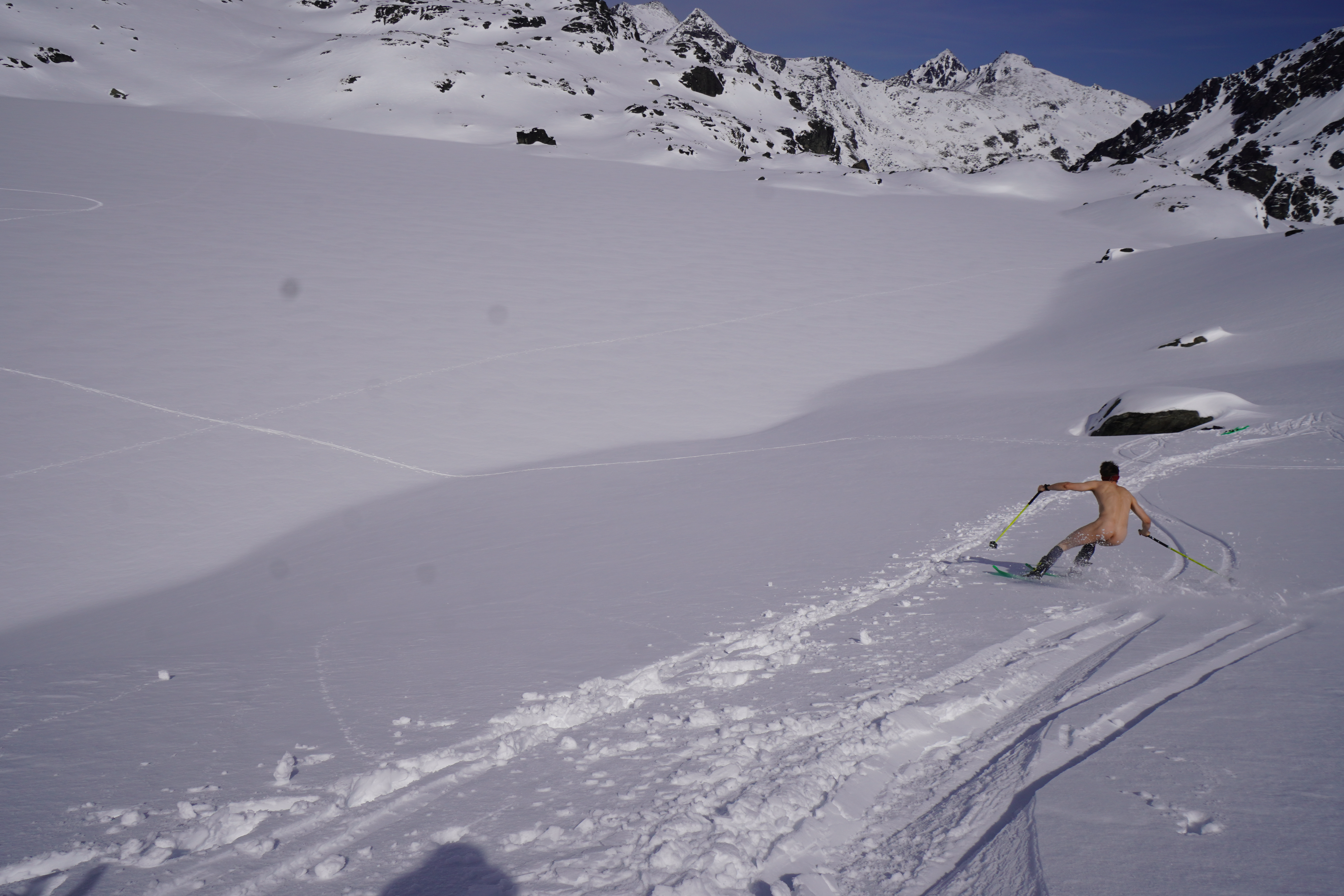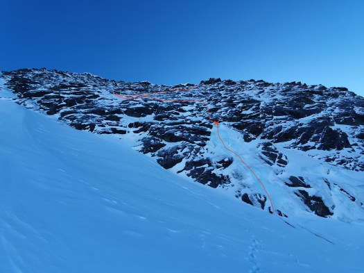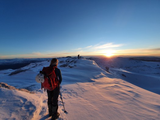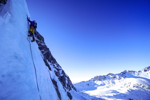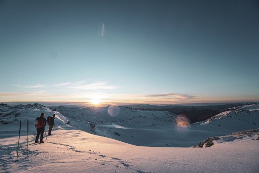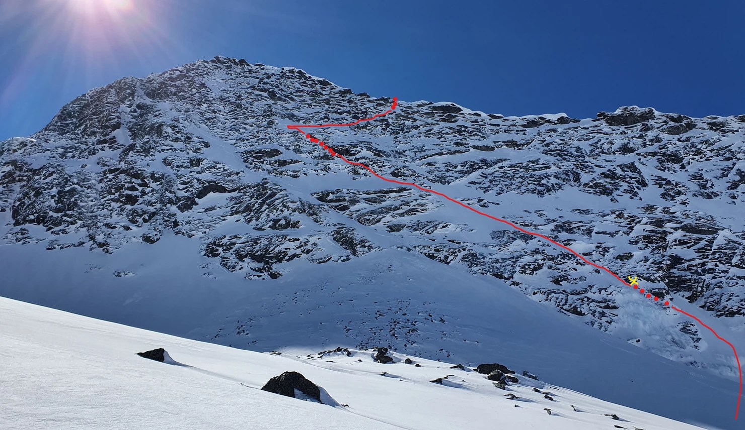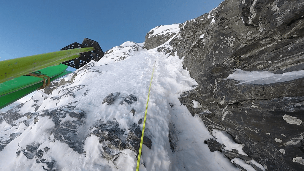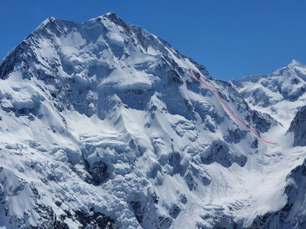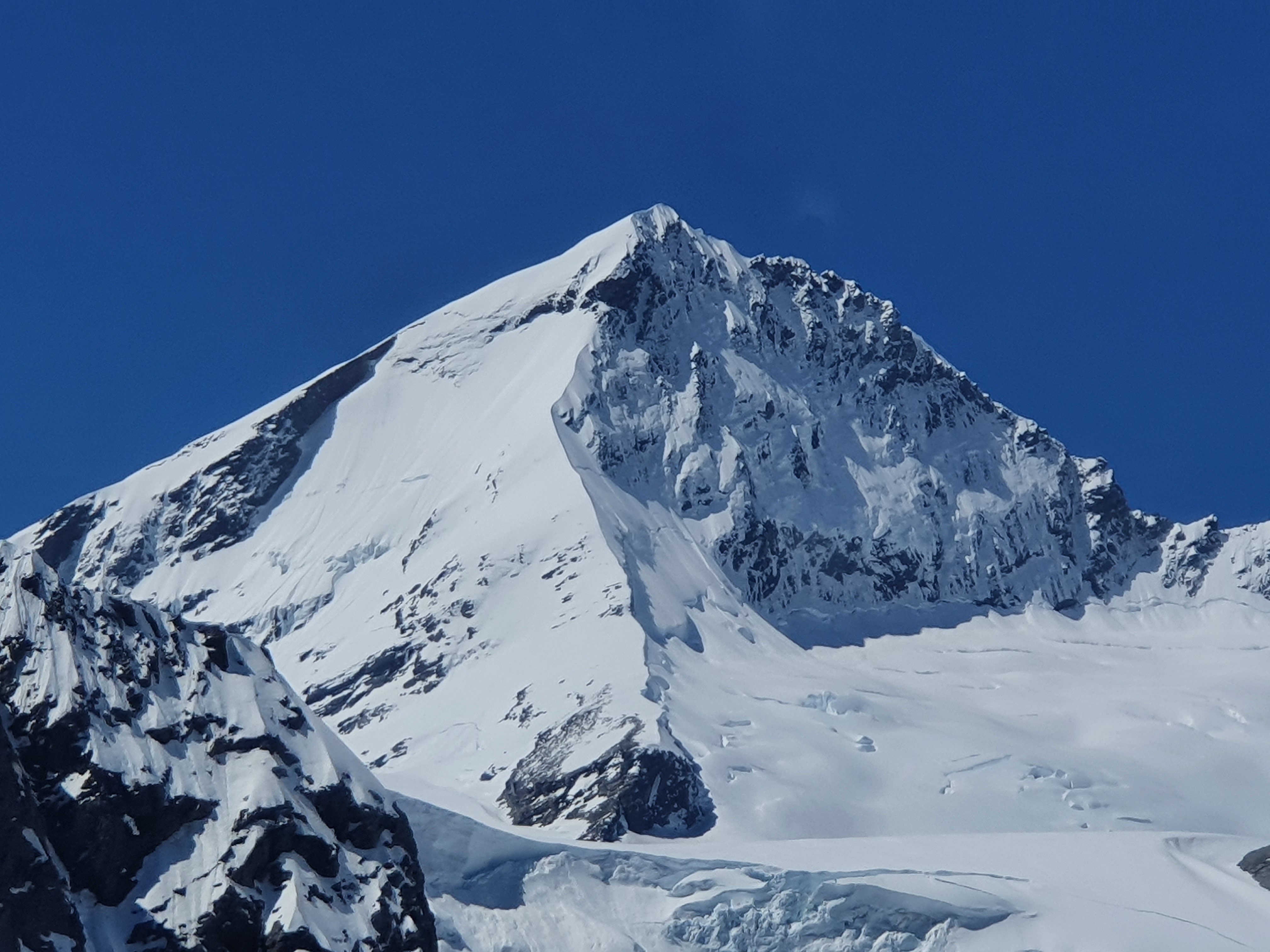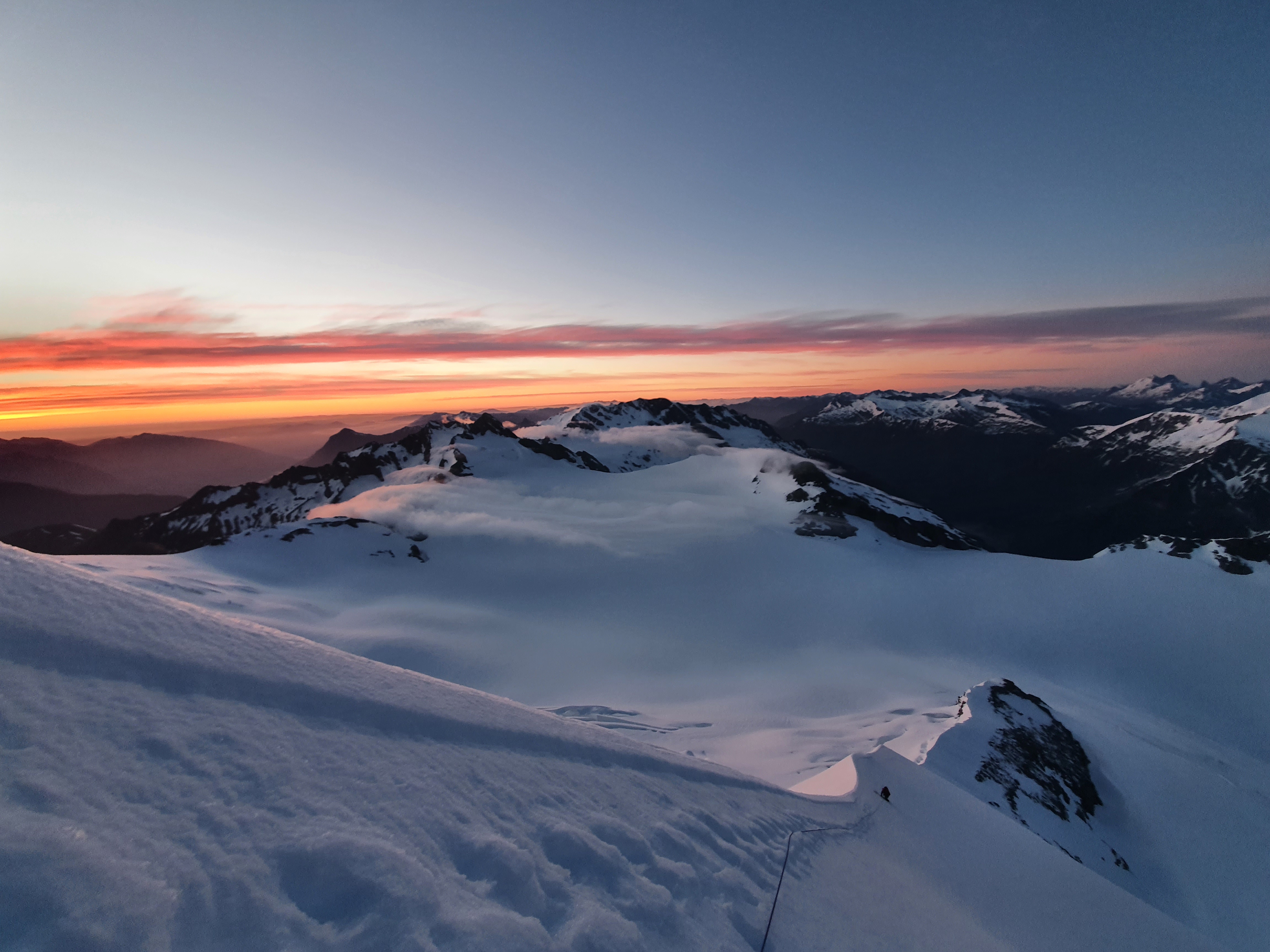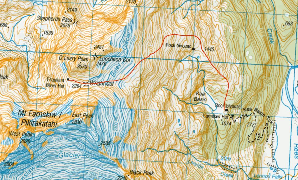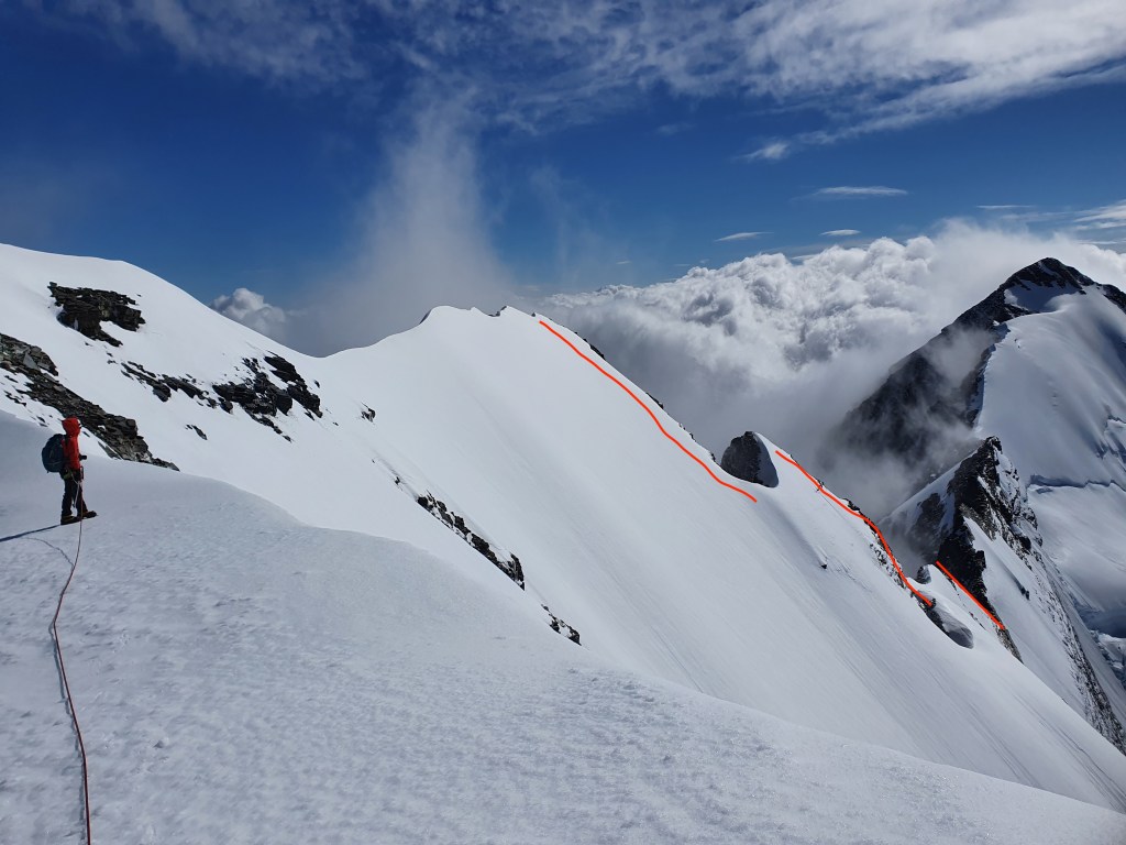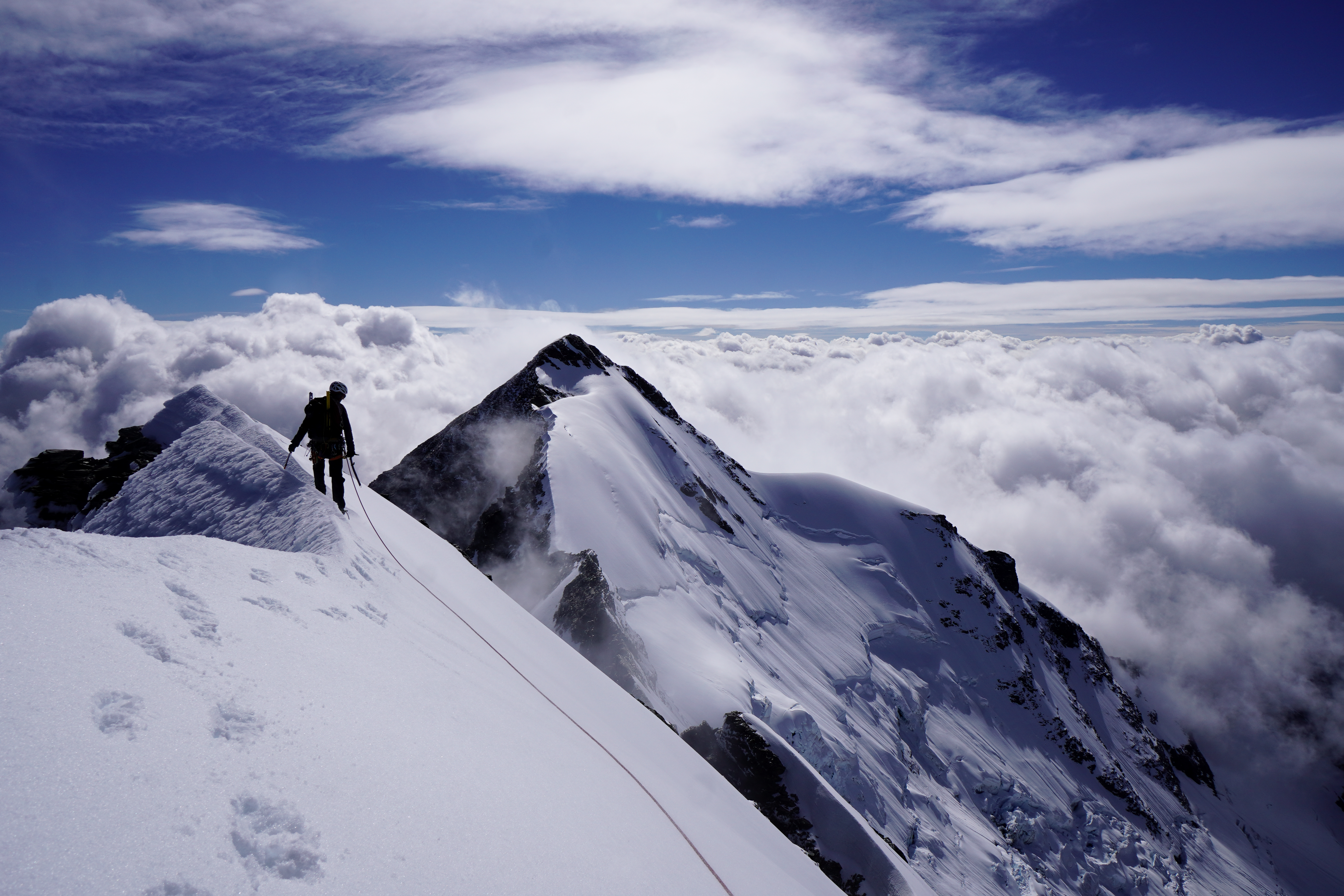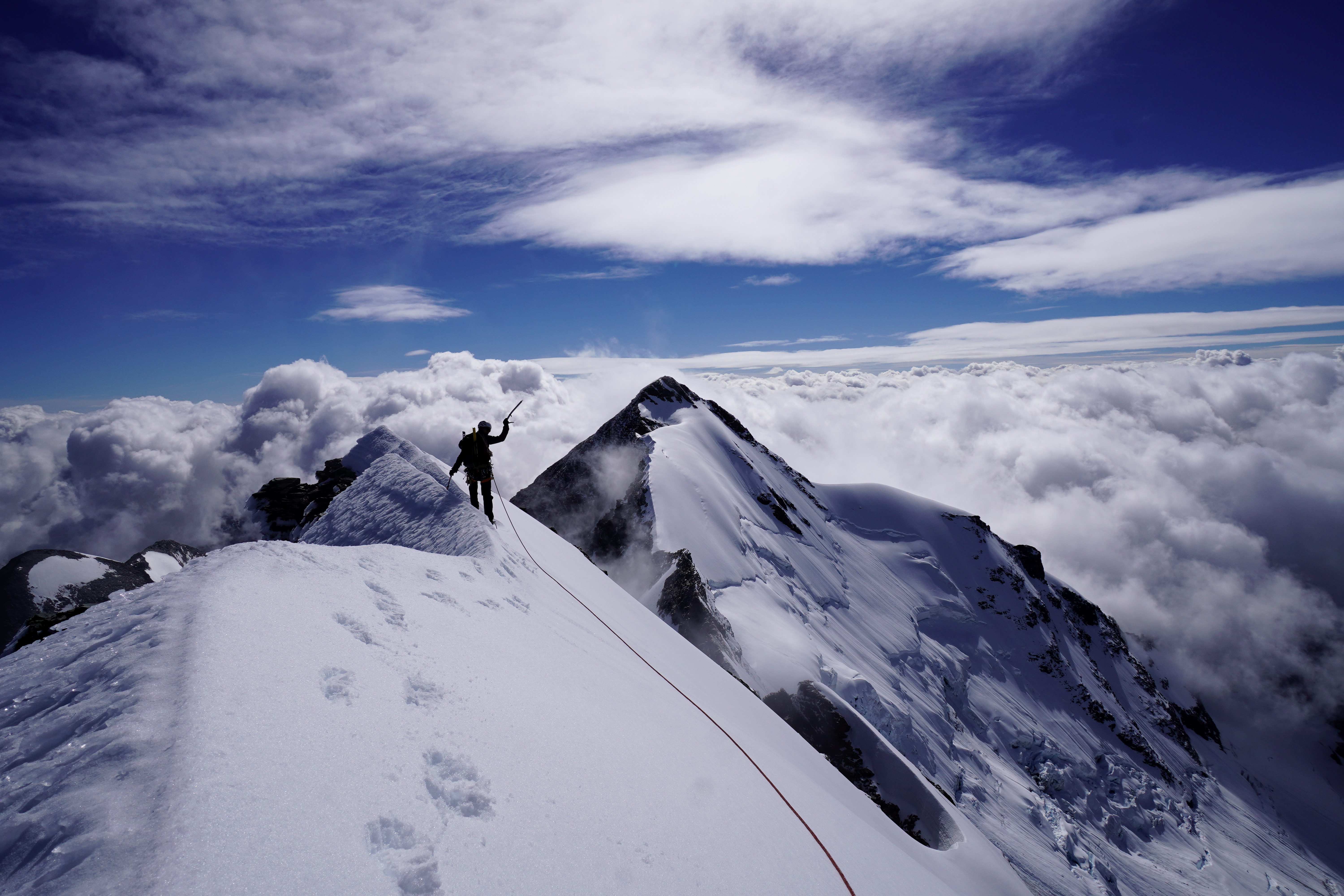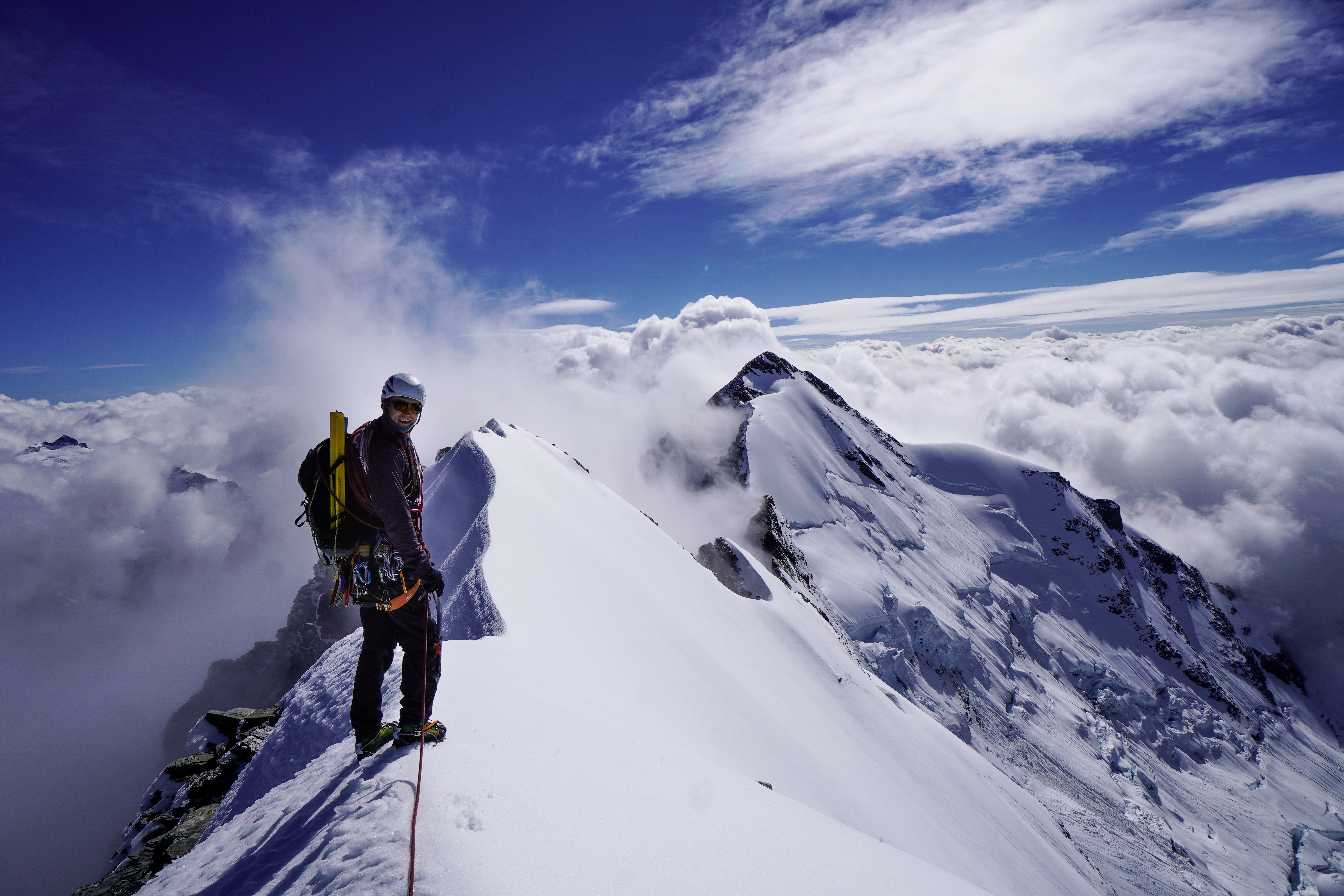

The wild side of Aoraki! A long and serious approach with no heli access gives the Hooker a wild and remote feel. This was my first trip to Aoraki back in 2018 and it was definitely jumping in at the deep end. While not too much steeper than the East face the NW couloirs is winding, technical and exposed nature make it a much more serious undertaking, and as such it is sees far fewer descents. You’ll be rewarded with an incredible ski line and a feeling of isolation that is definitely missing on the Plateau side. We climbed to the top of the skiiable line and turned round, but some easy mixed climbing would take you to Low Peak a couple of hundred metres higher. You would then need to make a couple of raps to get back to the line.
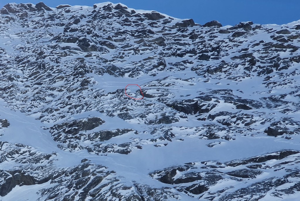
- Length – From Empress Hut (2500m) to Low peak (3593m) is just over 1000m. Then around another 1700m down to the car park at 880m. When we were there the couloir was skiable from around 3300m
- Steepness – Crux at the top of the couloir. 50-55 deg for 100-200m. Remainder of couloir 45 deg. Once on the Empress glacier eases to 35-40 deg
- Exposure – Very exposed at the top, as the couloir winds over some big cliffs. Once you reach the Empress shelf this improves. Couloir prone to significant rock fall once it warms up, particularly late in the season. Very large crevasses and active ice cliffs on both sides of the Hooker.
- Aspect – NW. Good corn skiing late season, but significant loose wet and rockfall risk late in the day
- Extras – We needed to make 1x 15m rap right at the bottom of the couloir to cross a small rock band
- Difficulty – Climb 3. Ski 5.3 E3
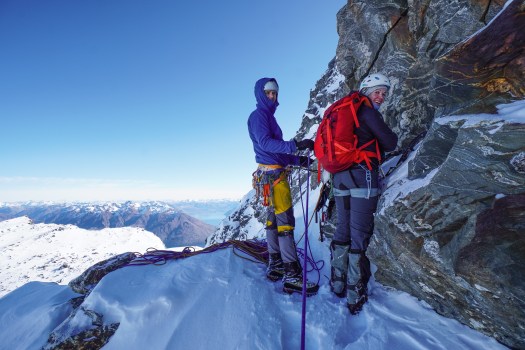
- Equipment – Glacier equipment. 30m half rope. Tat and snow stake for raps. Screws x2 each and V thread equipment.
Approach
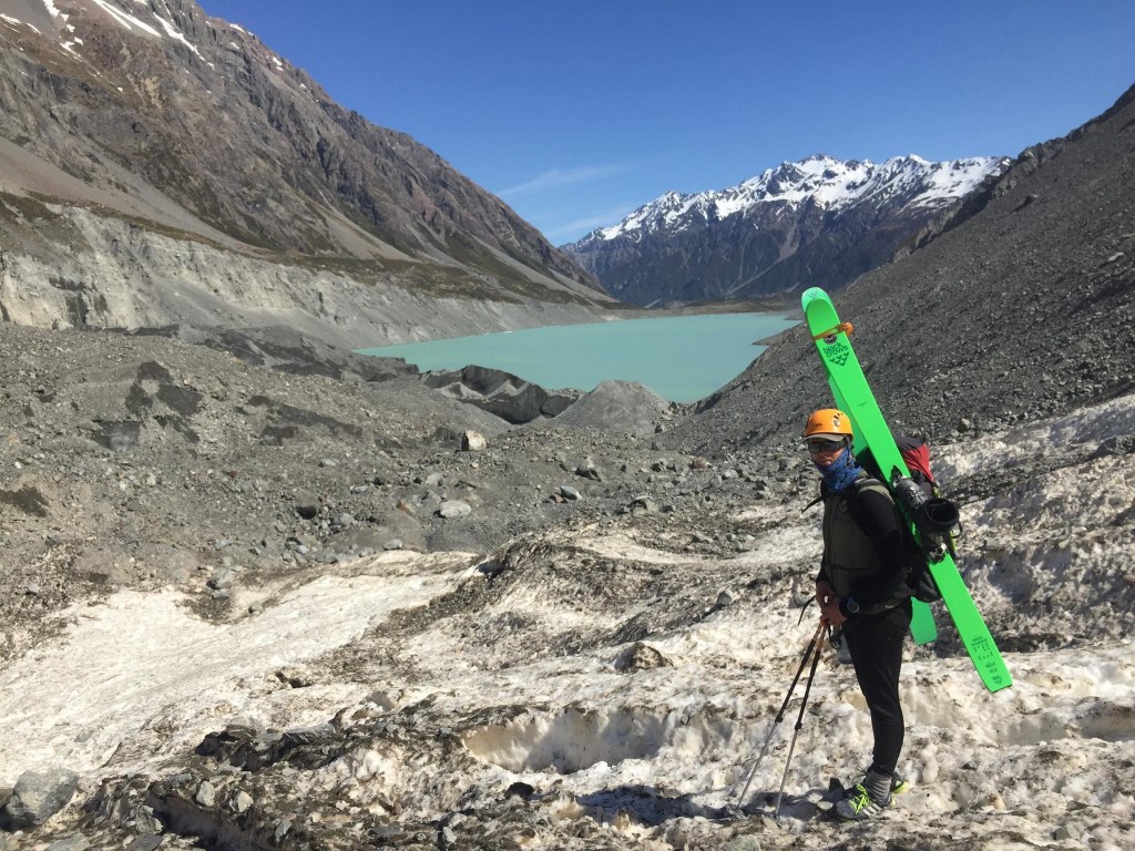
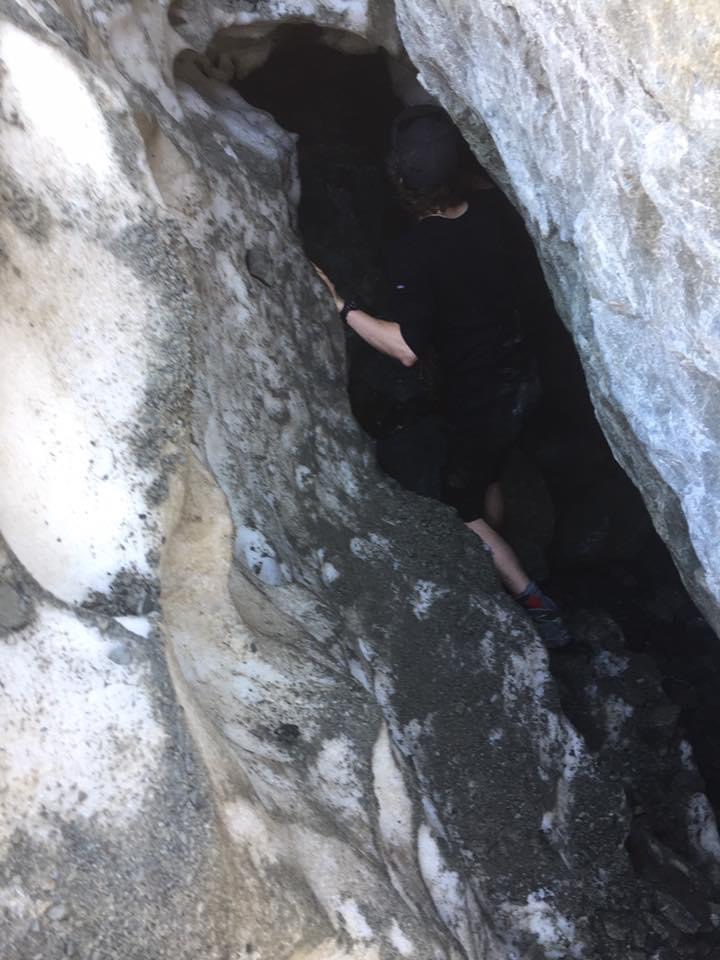
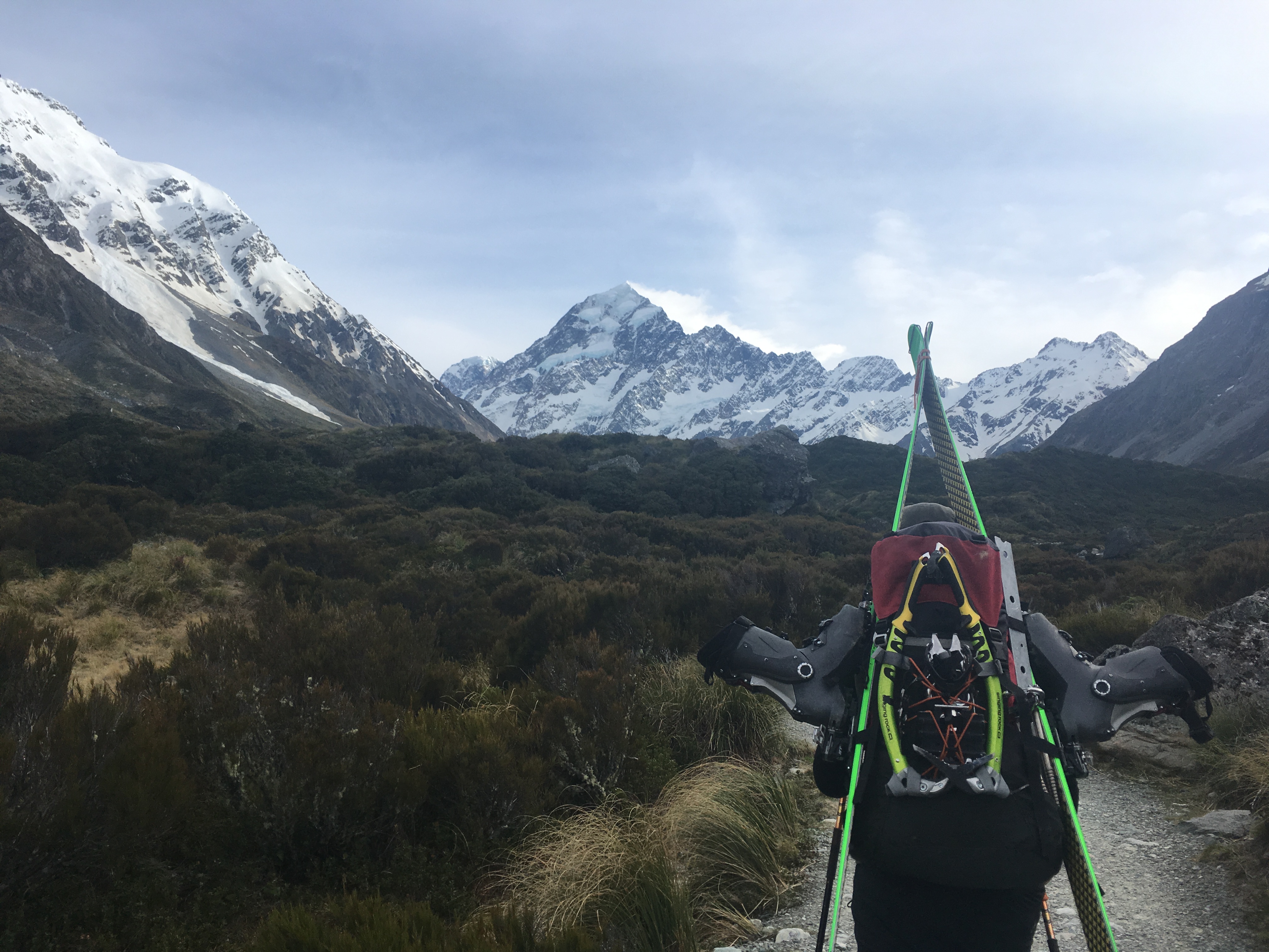
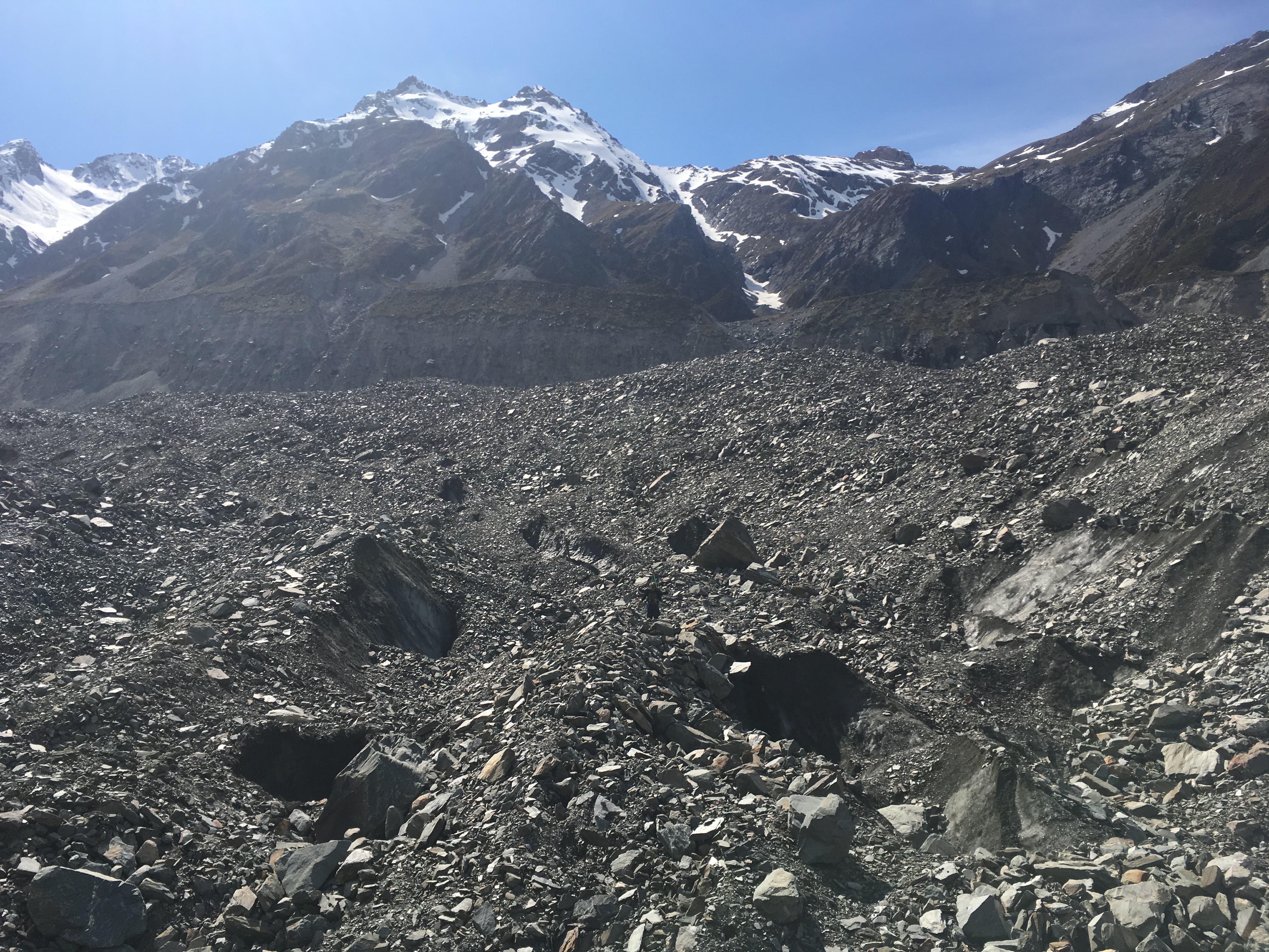
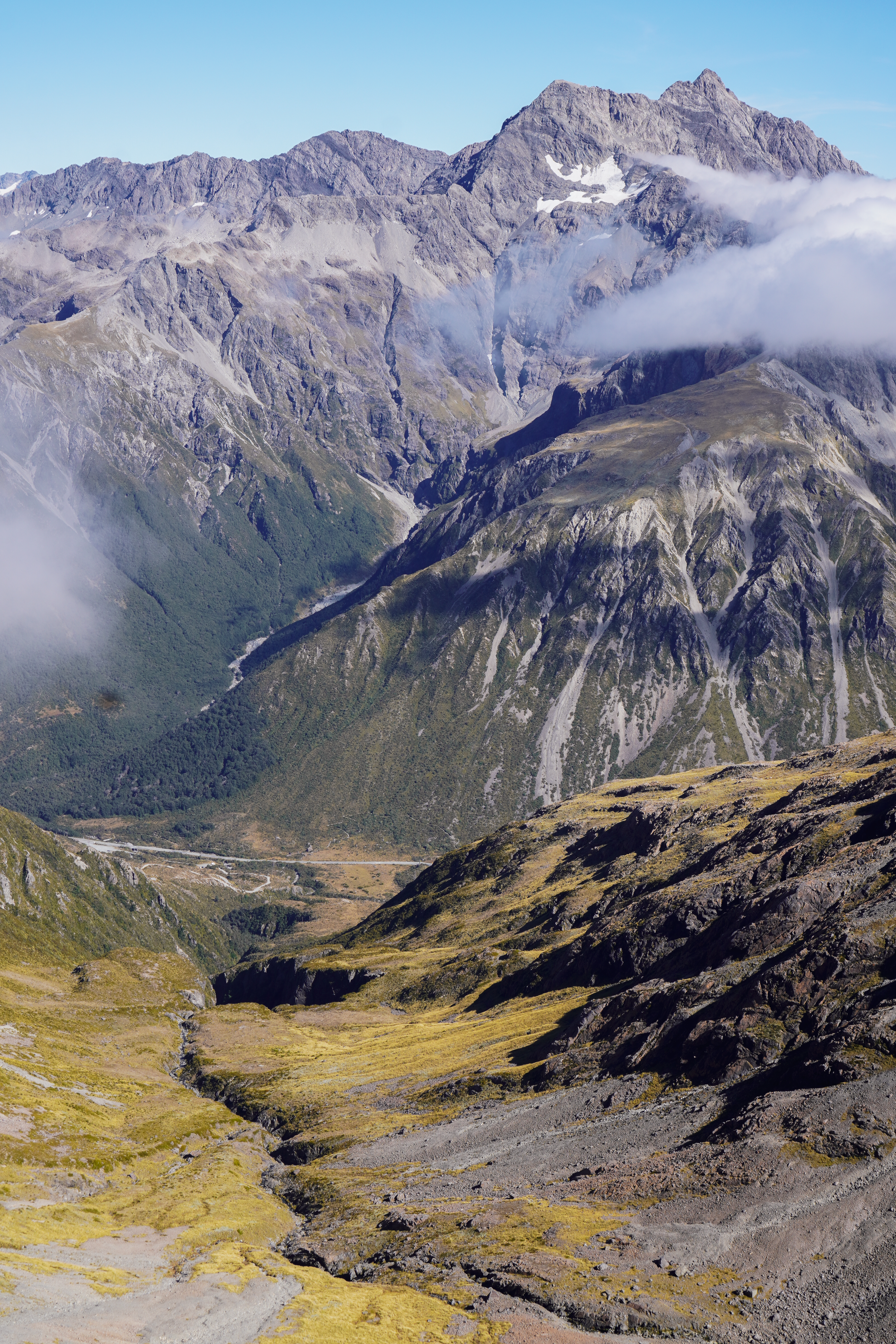
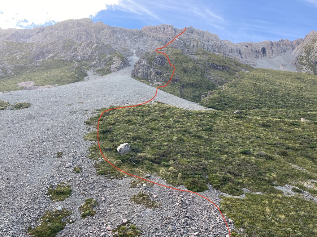
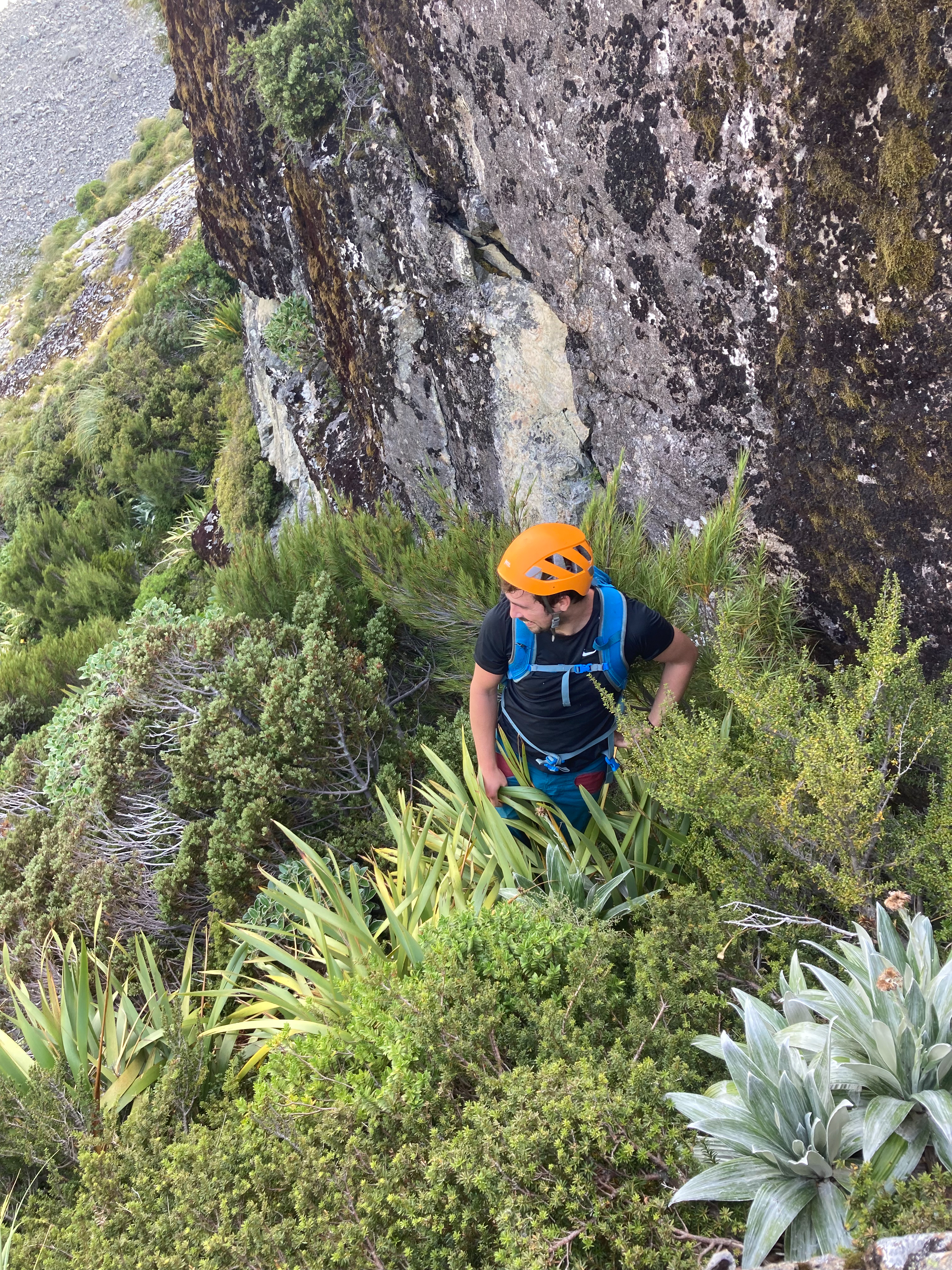
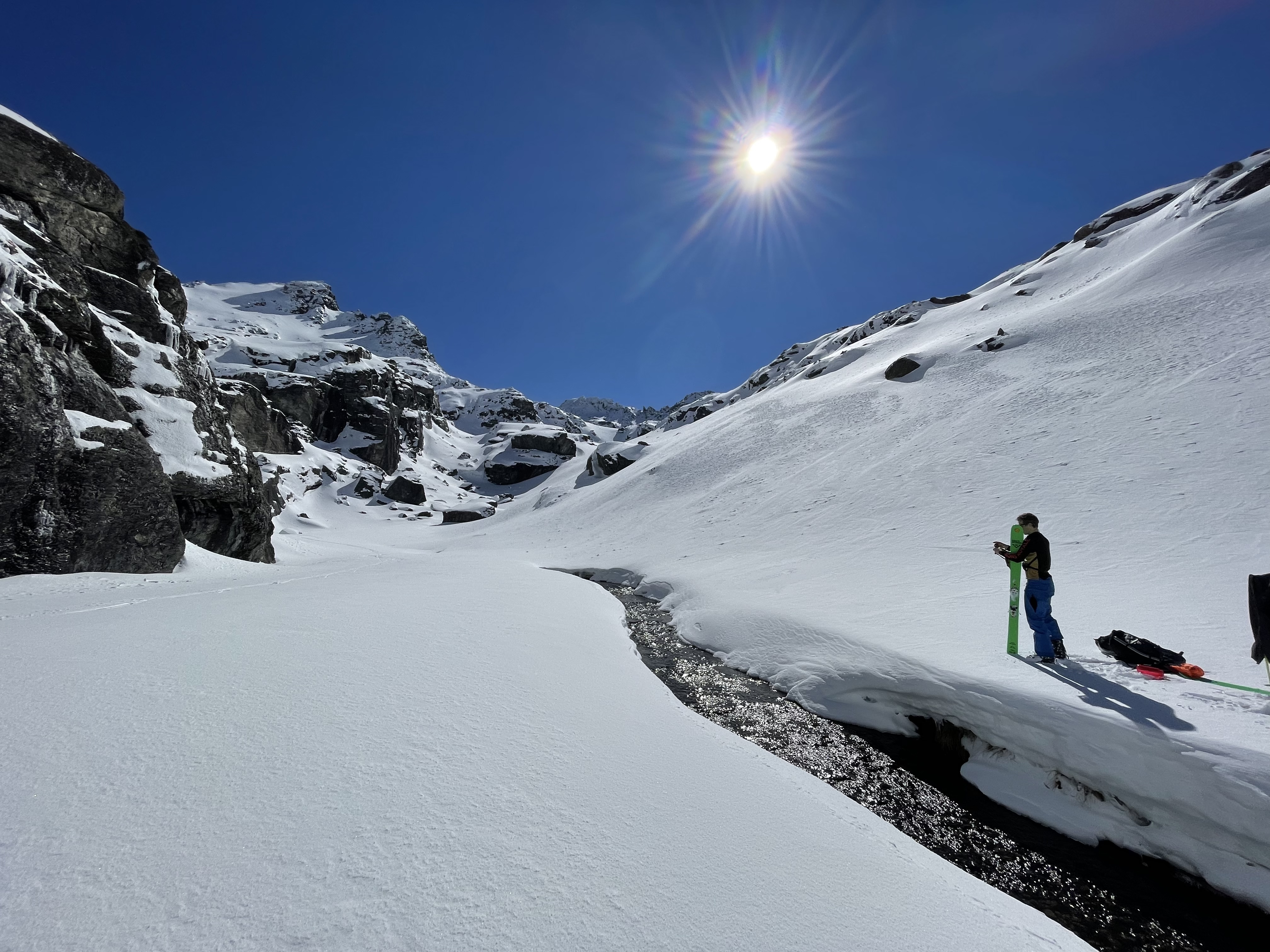
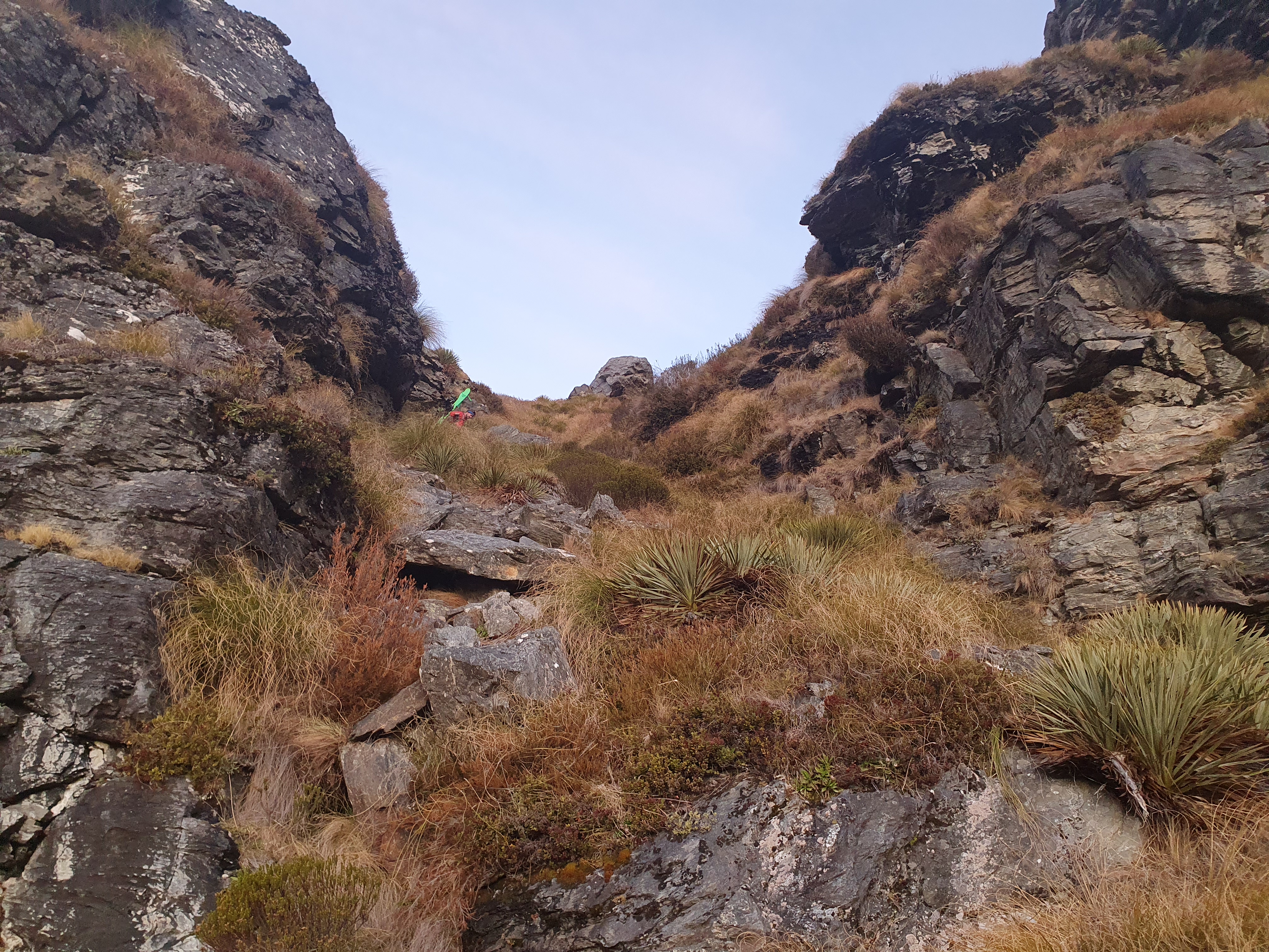
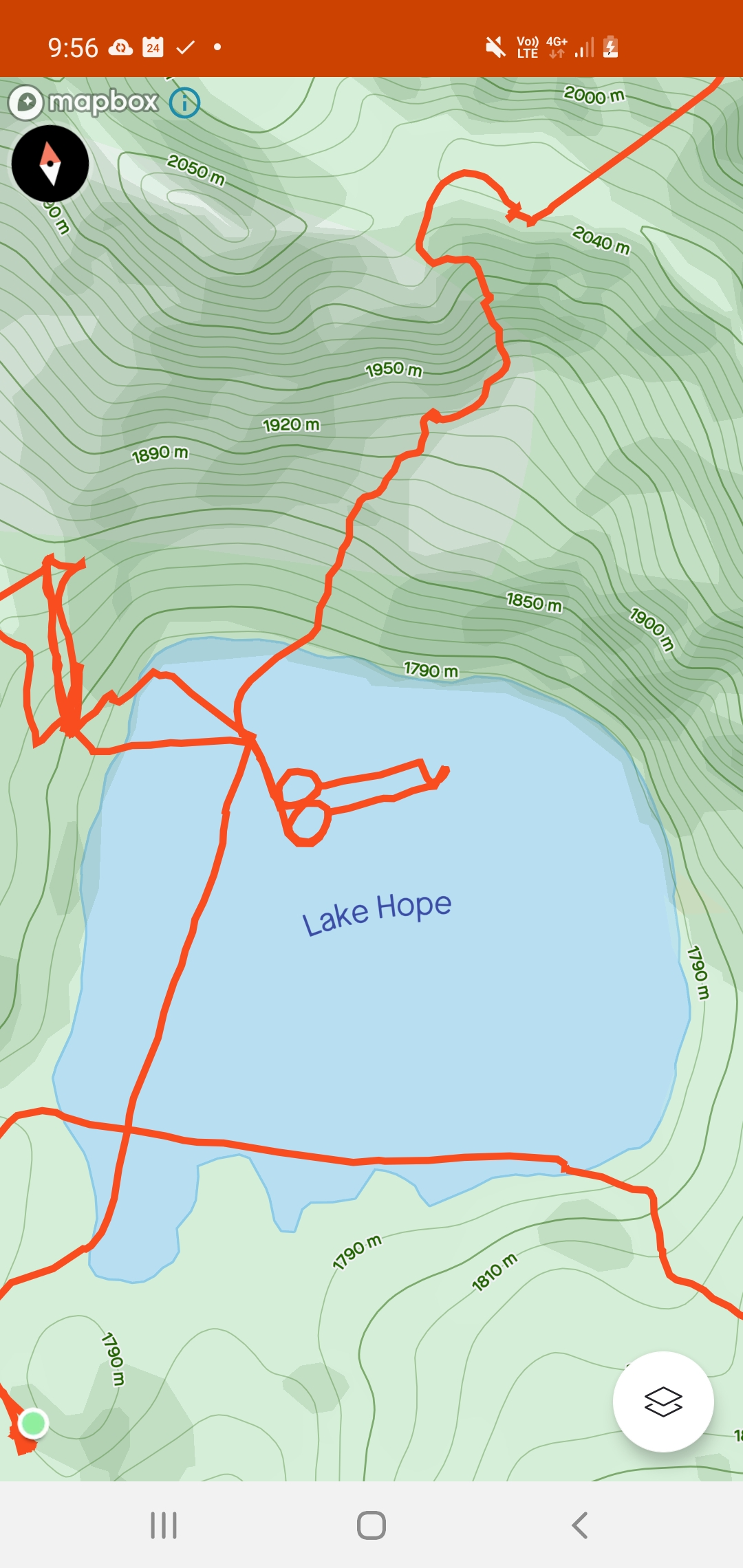
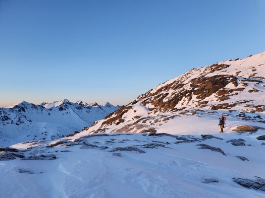
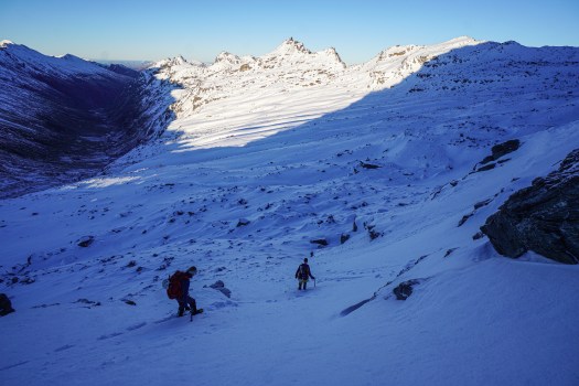
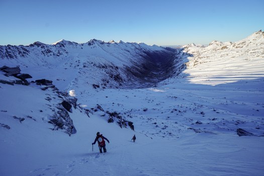
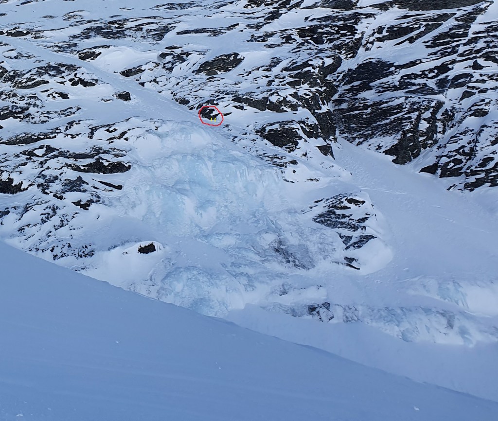
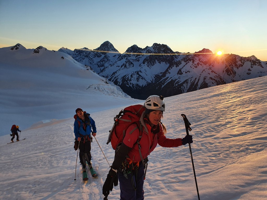
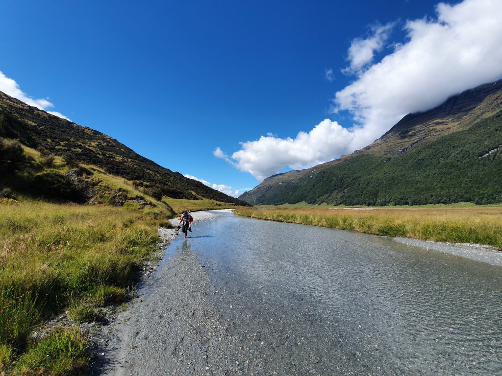
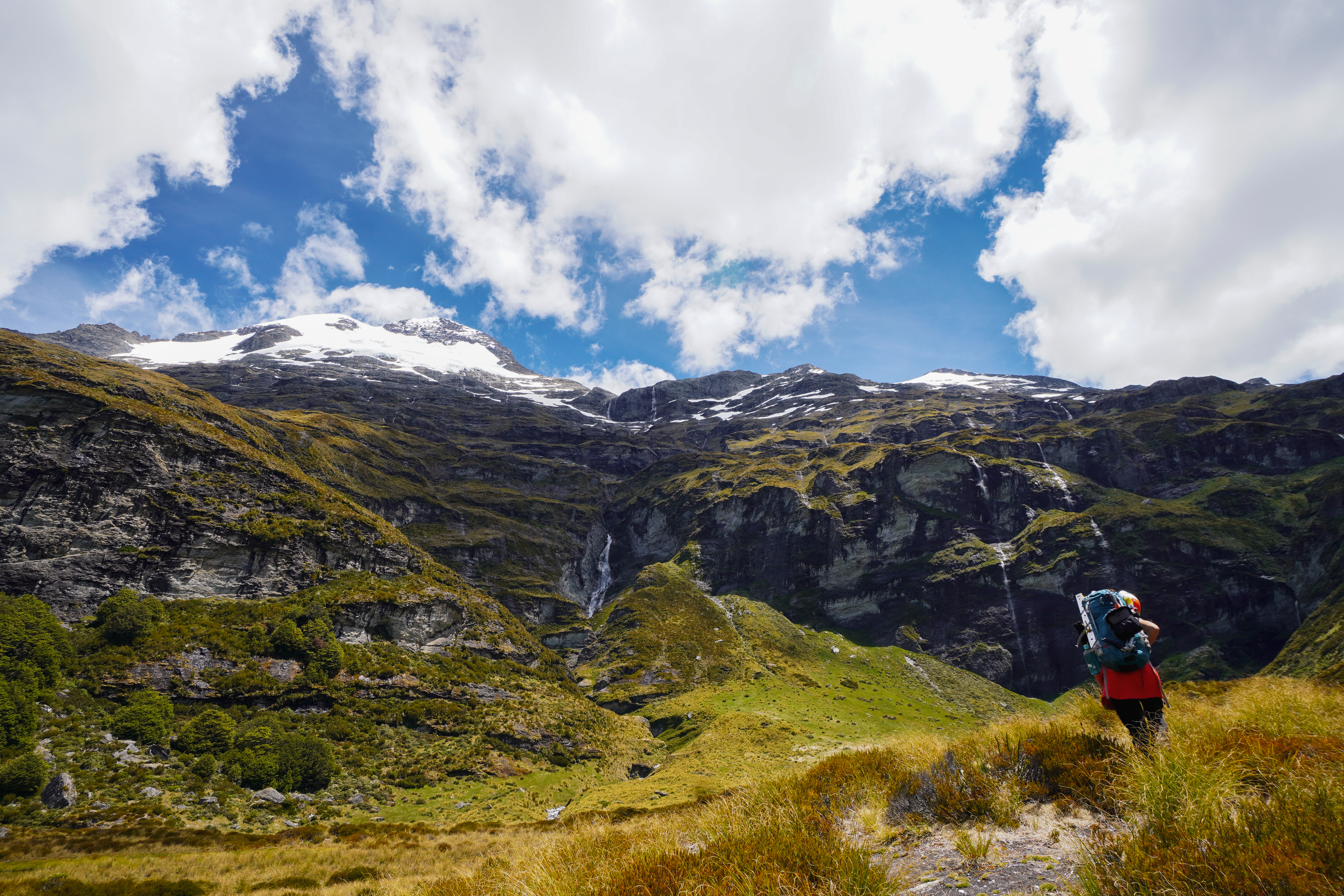
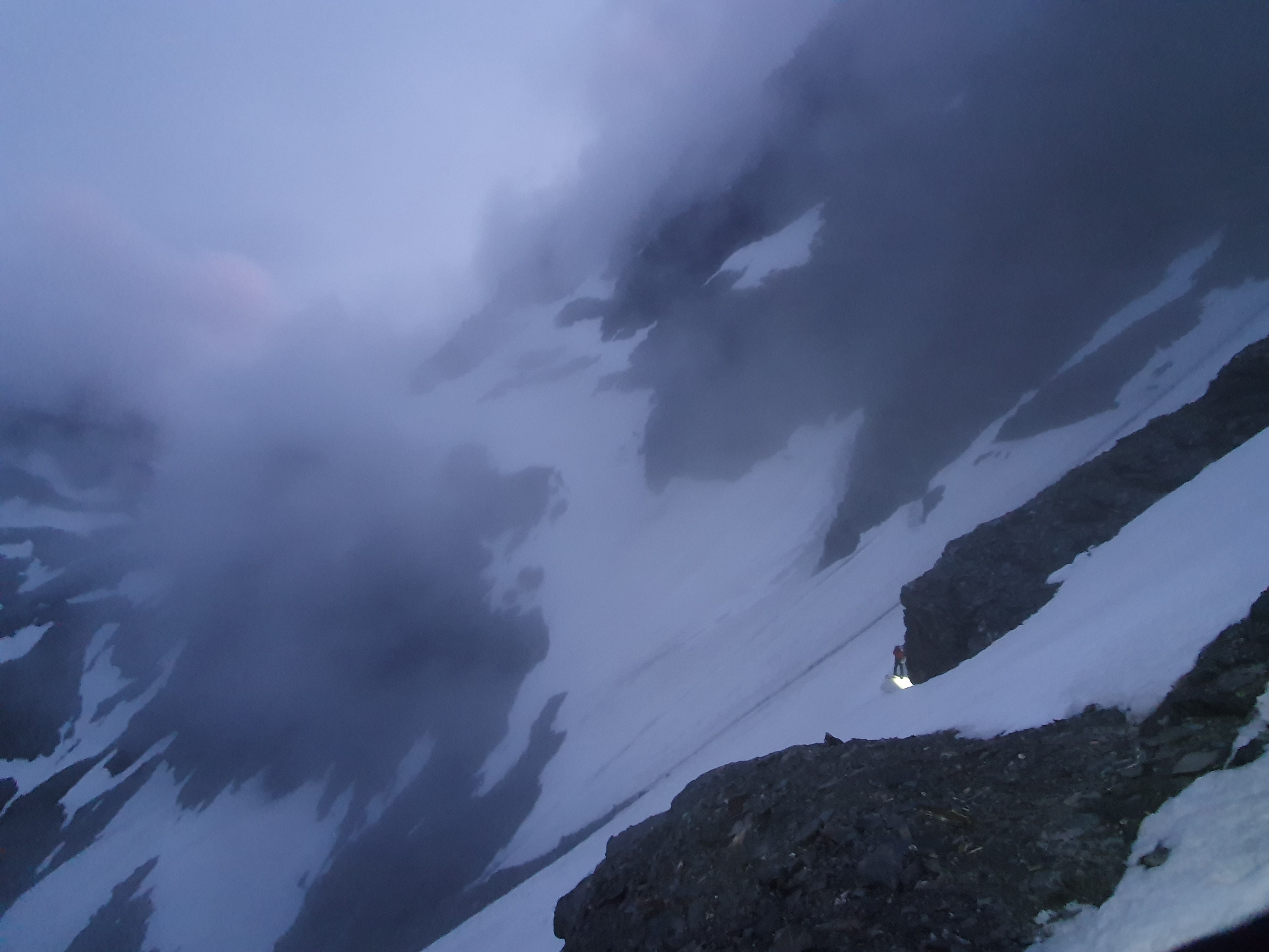
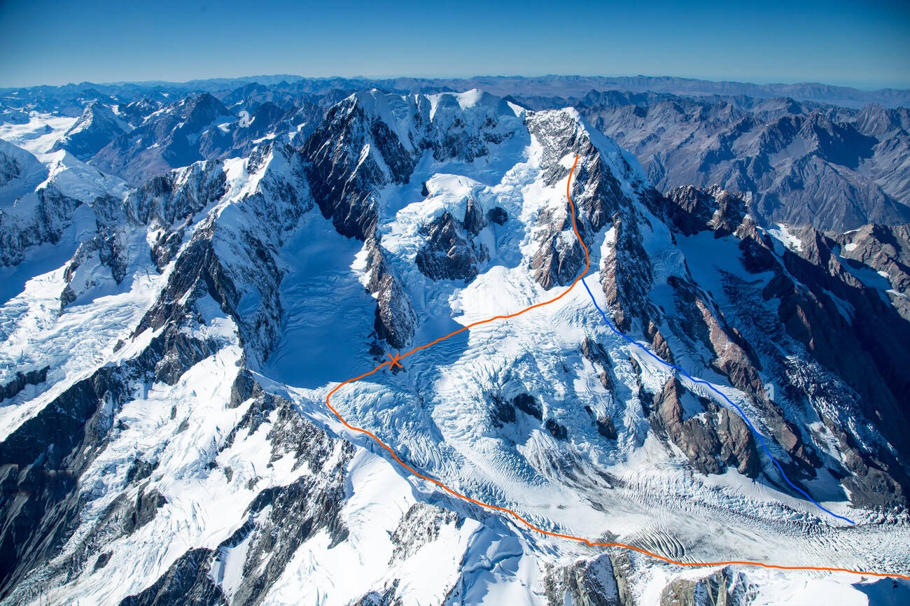
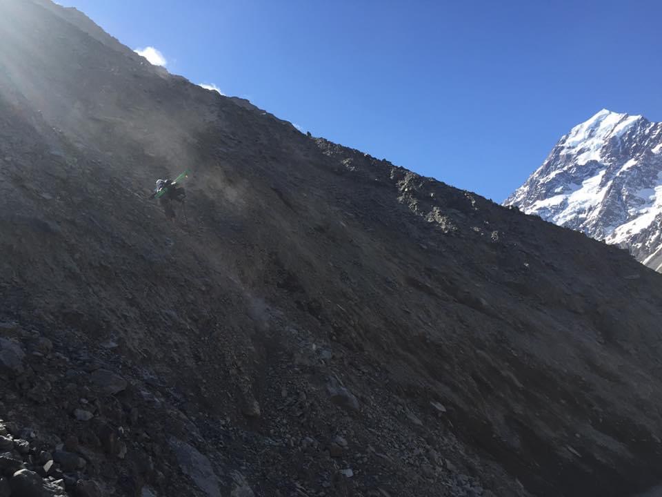
It took us just under 12 hours in total to get from the car to Empress hut. Head up the Hooker track to the Hooker lake. We then rock hopped at the shore line most of the way up the west side of the lake. Just before after Stewart stream the moraine got too steep due to a washout and we had to climb vertically up the moraine wall to around 1200m before traversing along flatter ground and then dropping back down to the main Hooker glacier. This section was really difficult especially with heavy packs. The morraine was incredibly loose and you constantly had to be looking above you for spontaneous rockfall coming down to the lake. Taking a step into the loose morraine would cause everything to shift and would cause rocks 30m above you to start moving and coming down. It would also be easy to slip and fall all the way down into the lake which would be suboptimal while strapped into a heavy pack. Overall we felt this was the most dangerous part of the trip and we were super stoked when it was over.
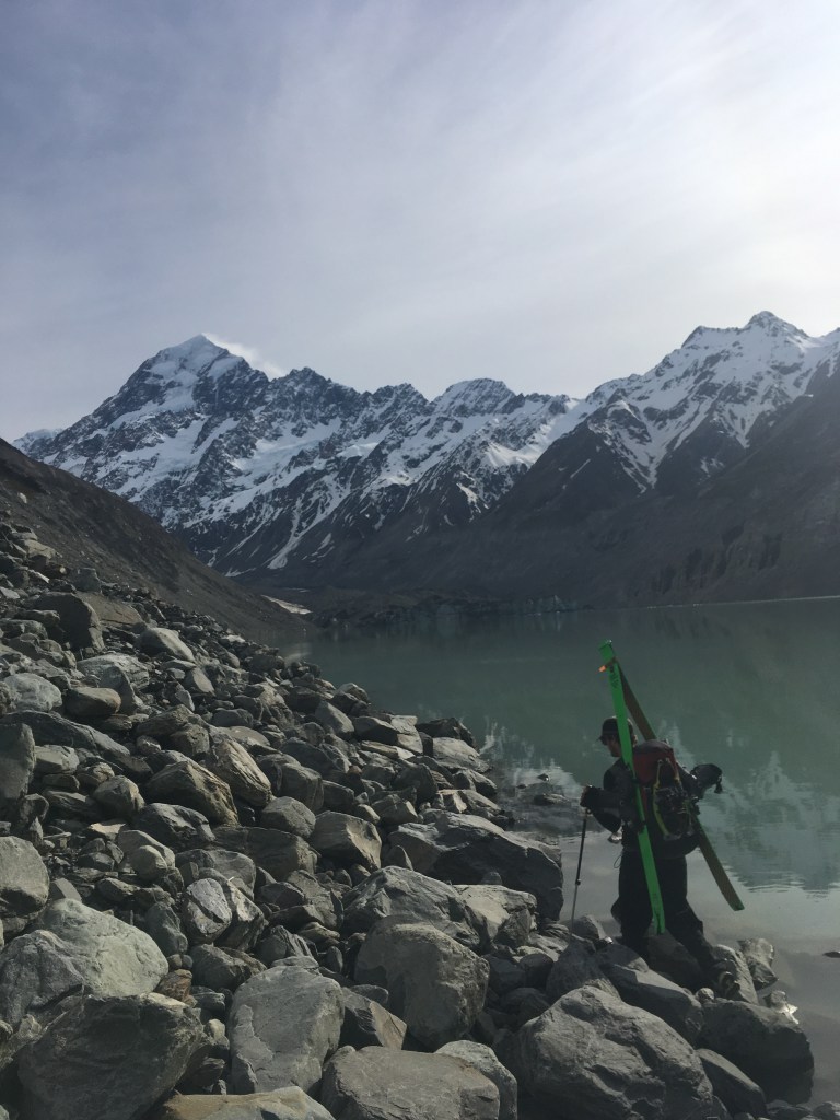
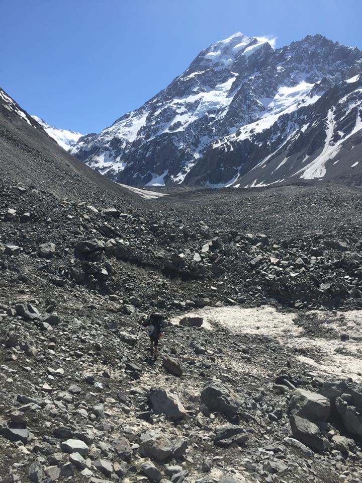
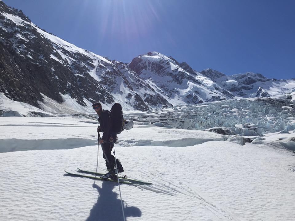
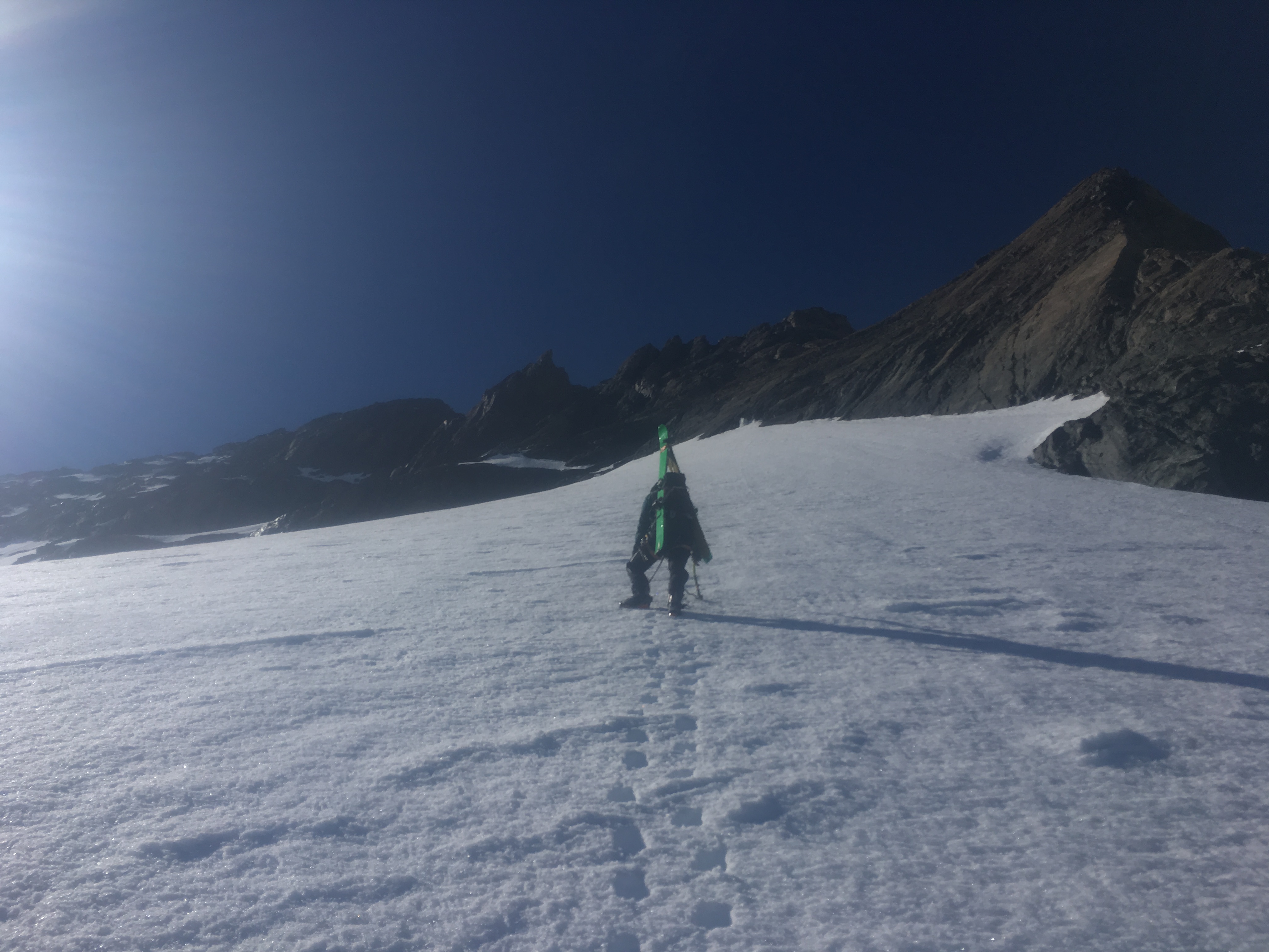
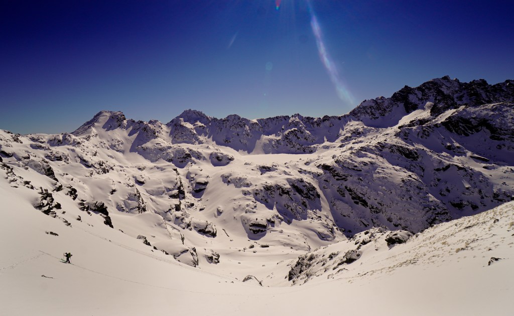
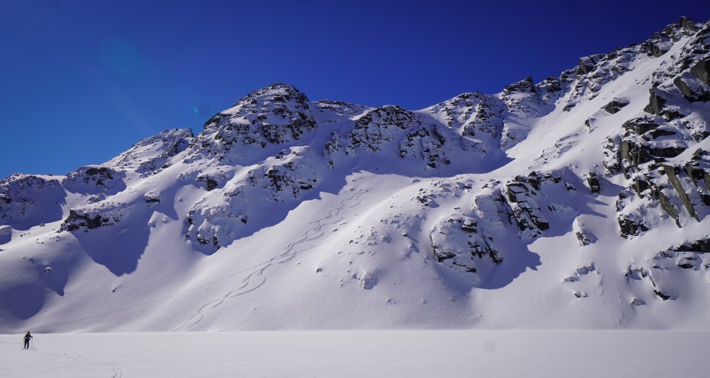
From the top of the lake we headed north staying pretty much in the middle of the glacier until we reached snow. This was the same loose moraine but on flatter ground. Tiring but safe. After a few hours of this it was a relief to be finally able to put the skis and boots on and start skinning.
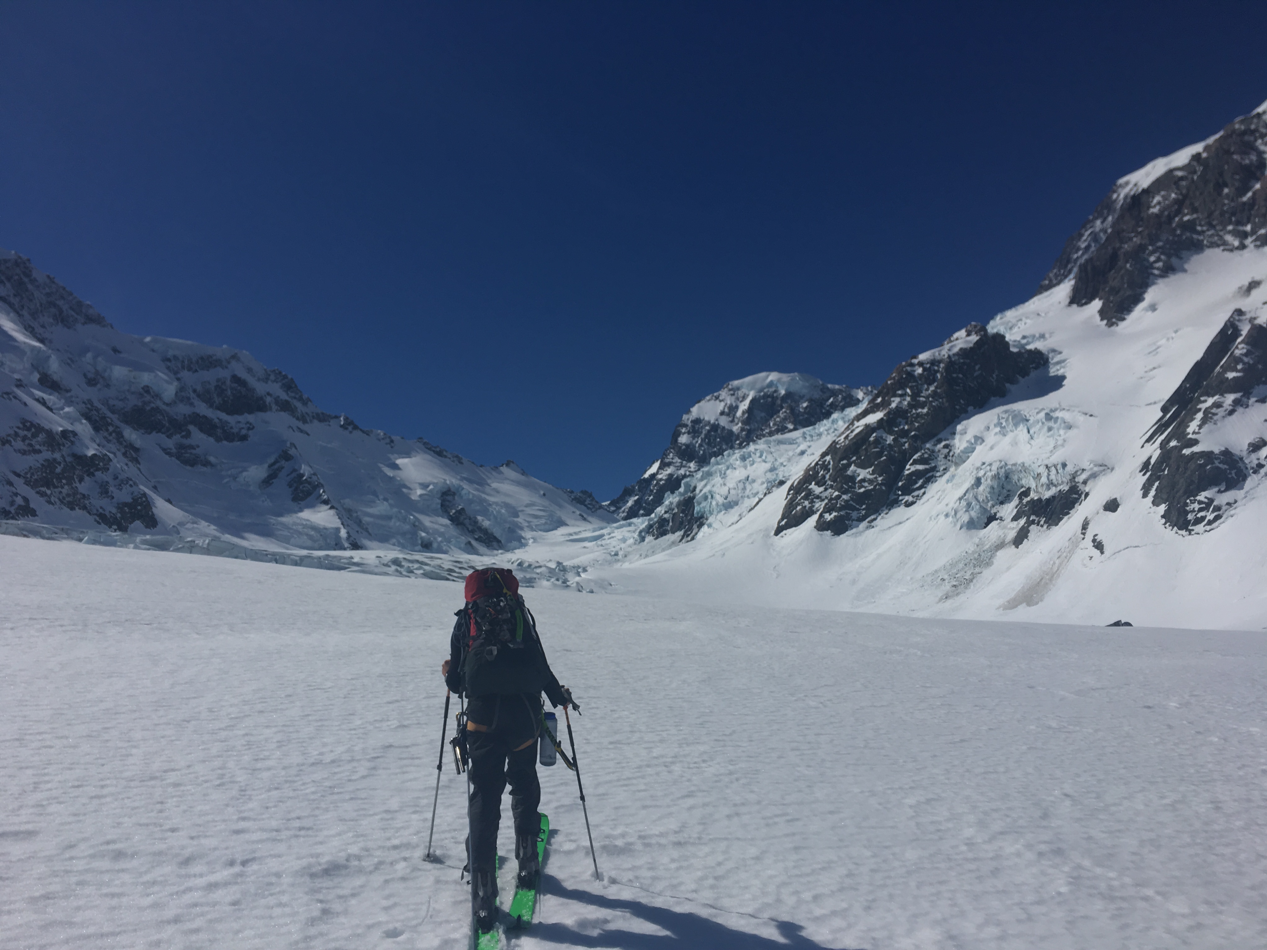
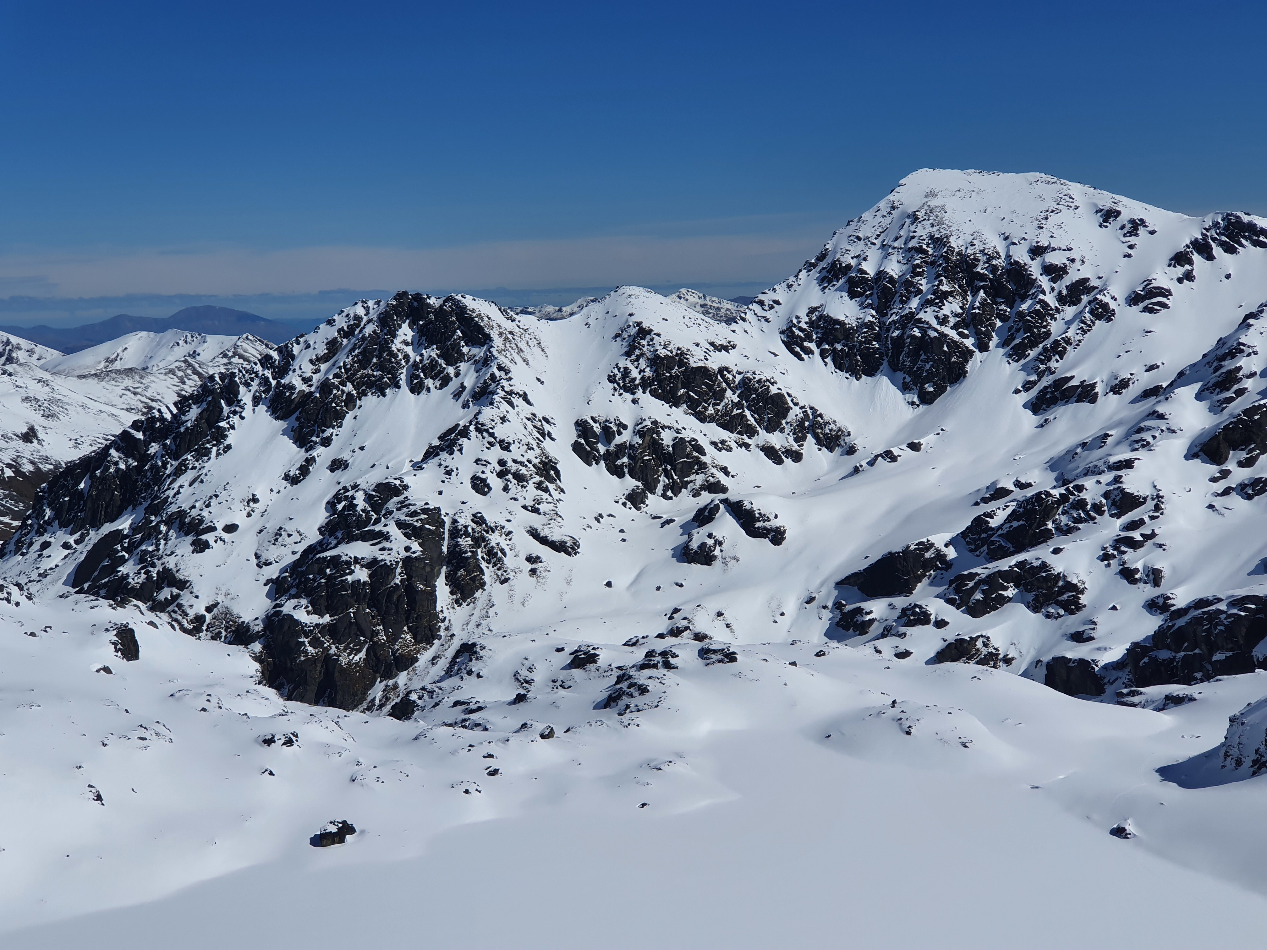
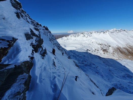
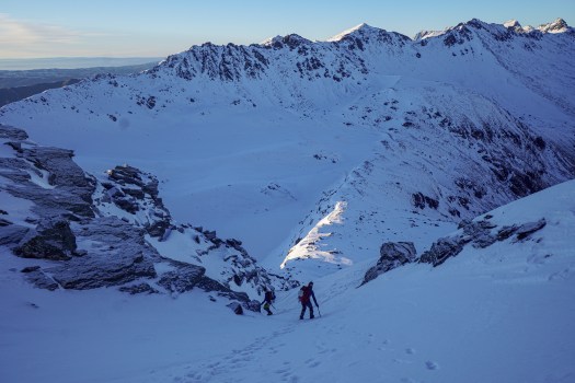
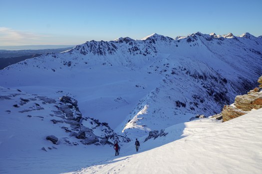
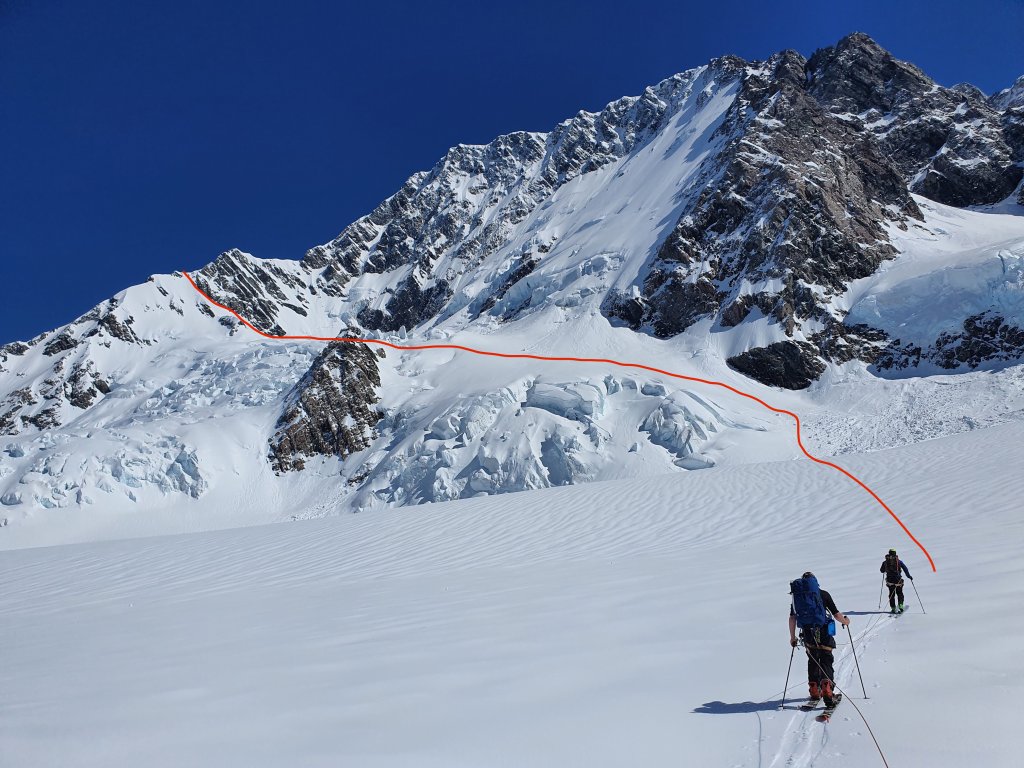
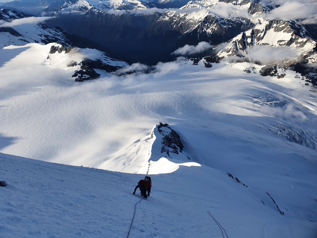
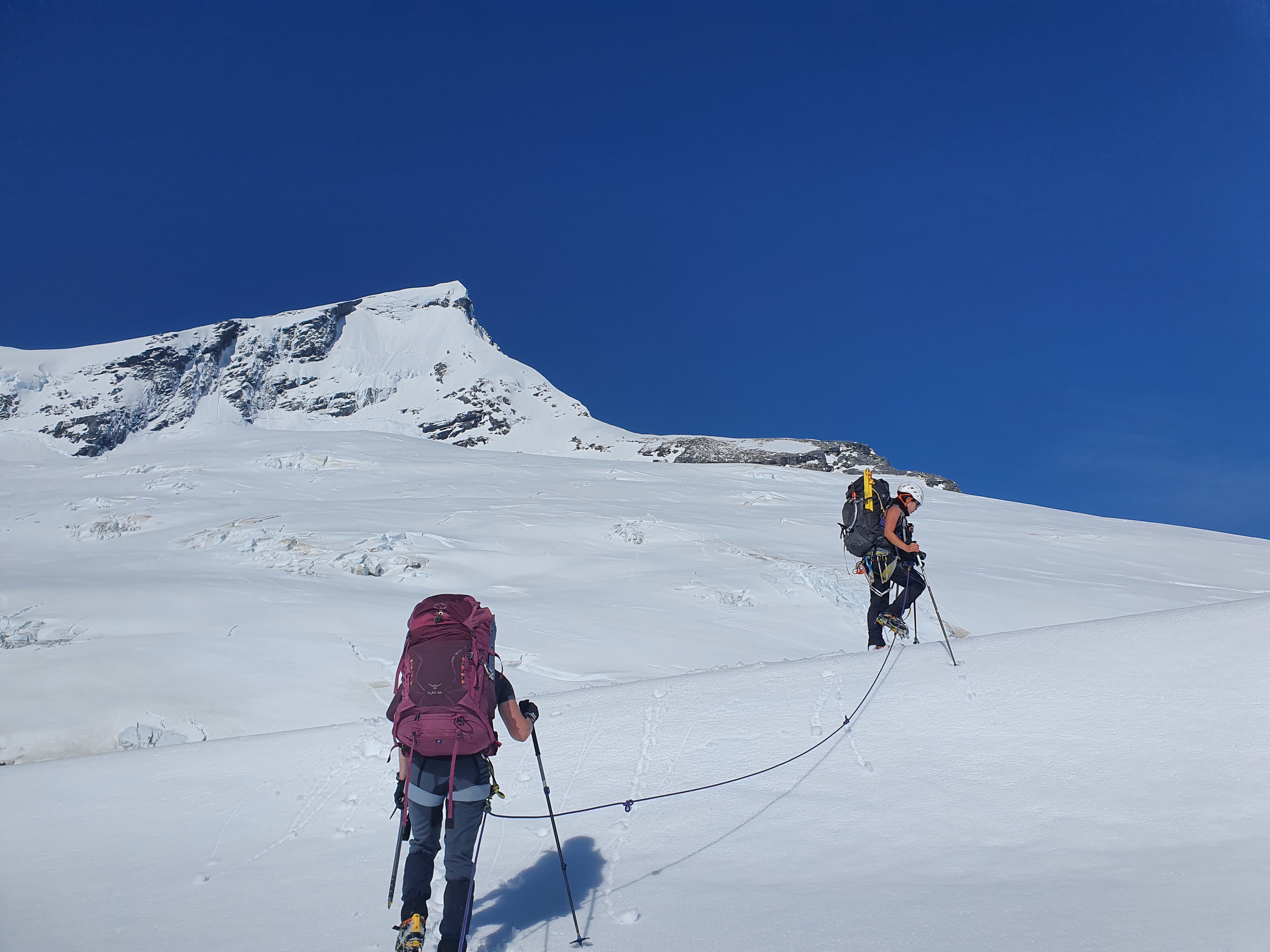
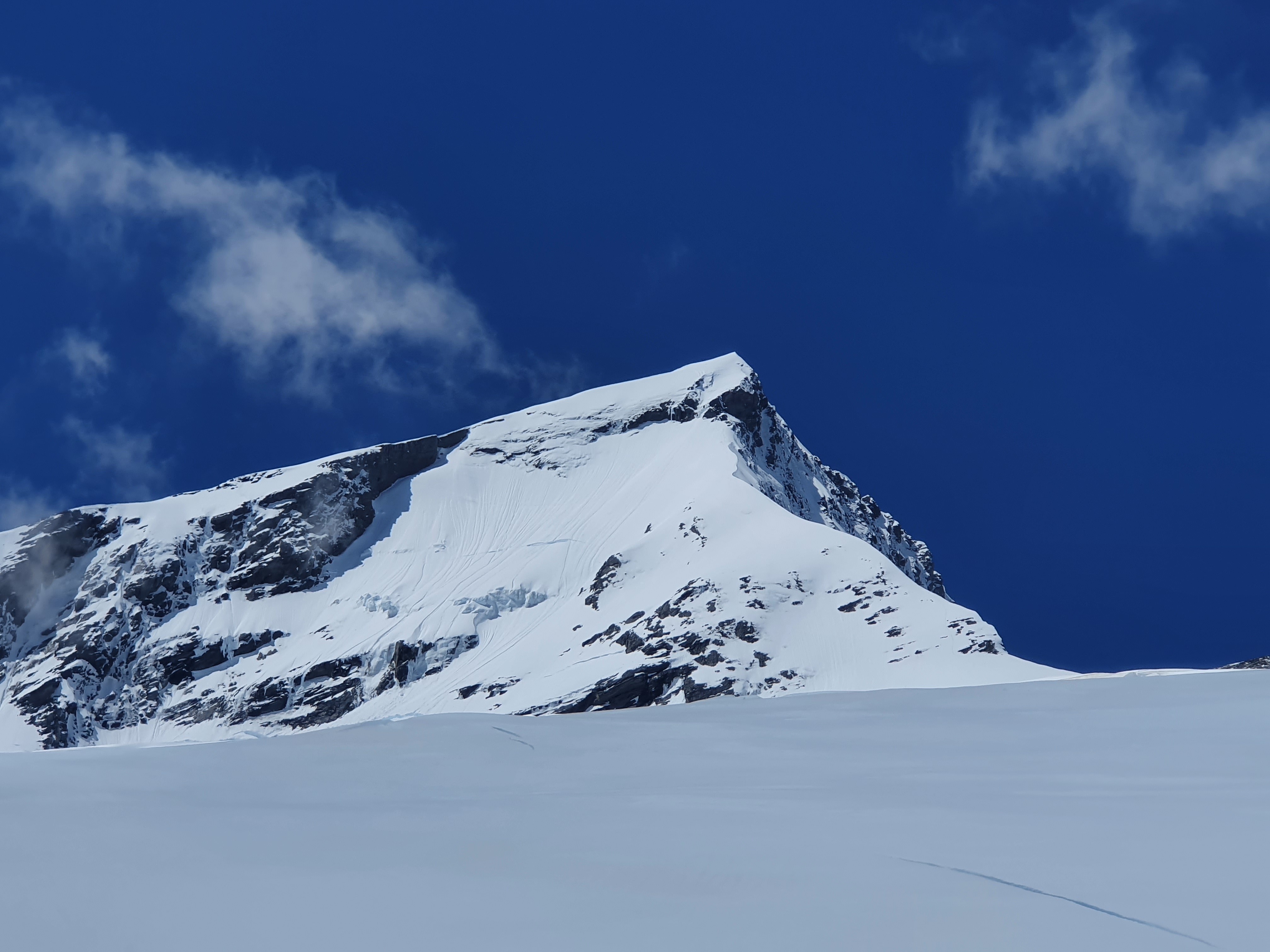
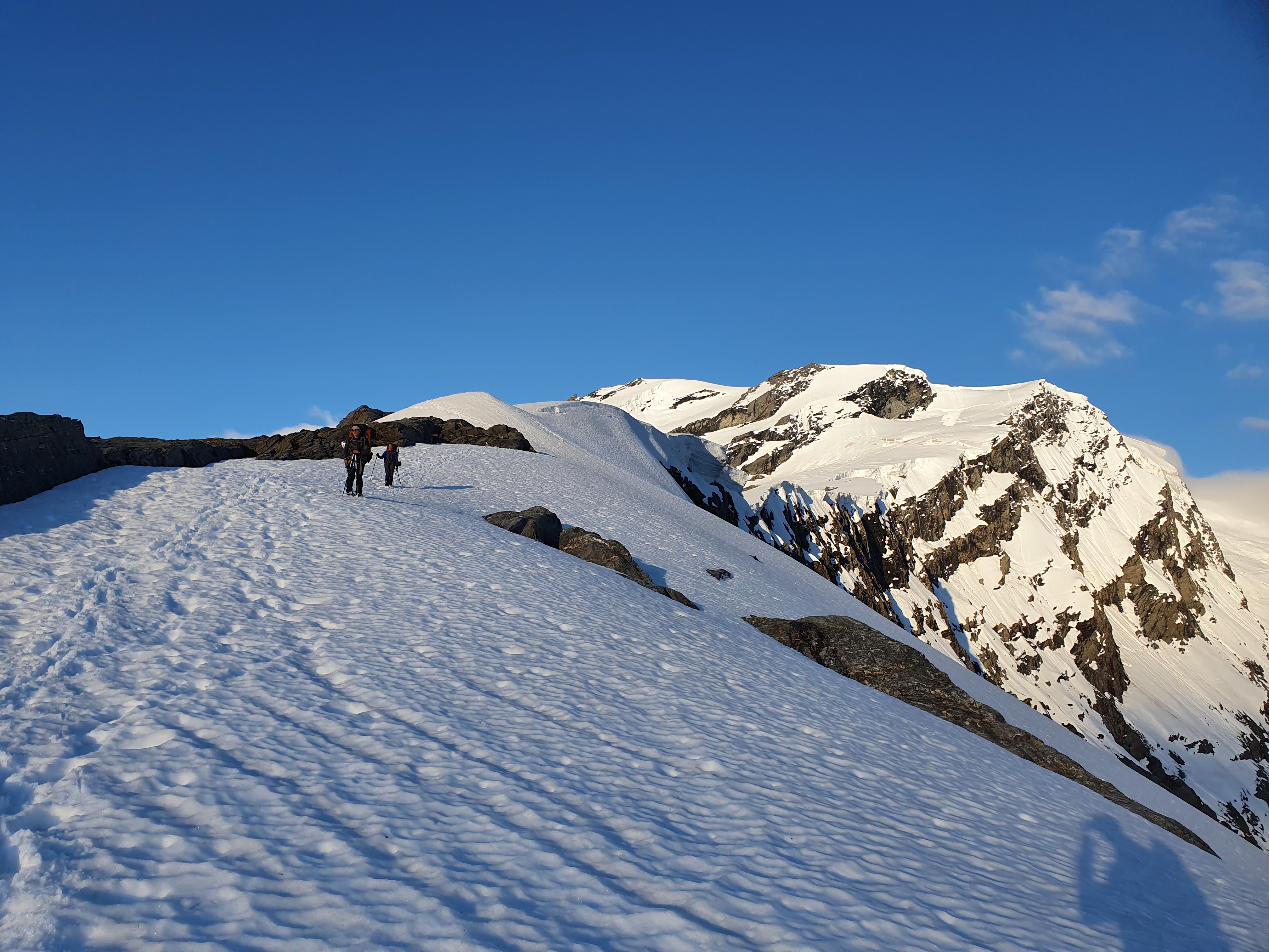
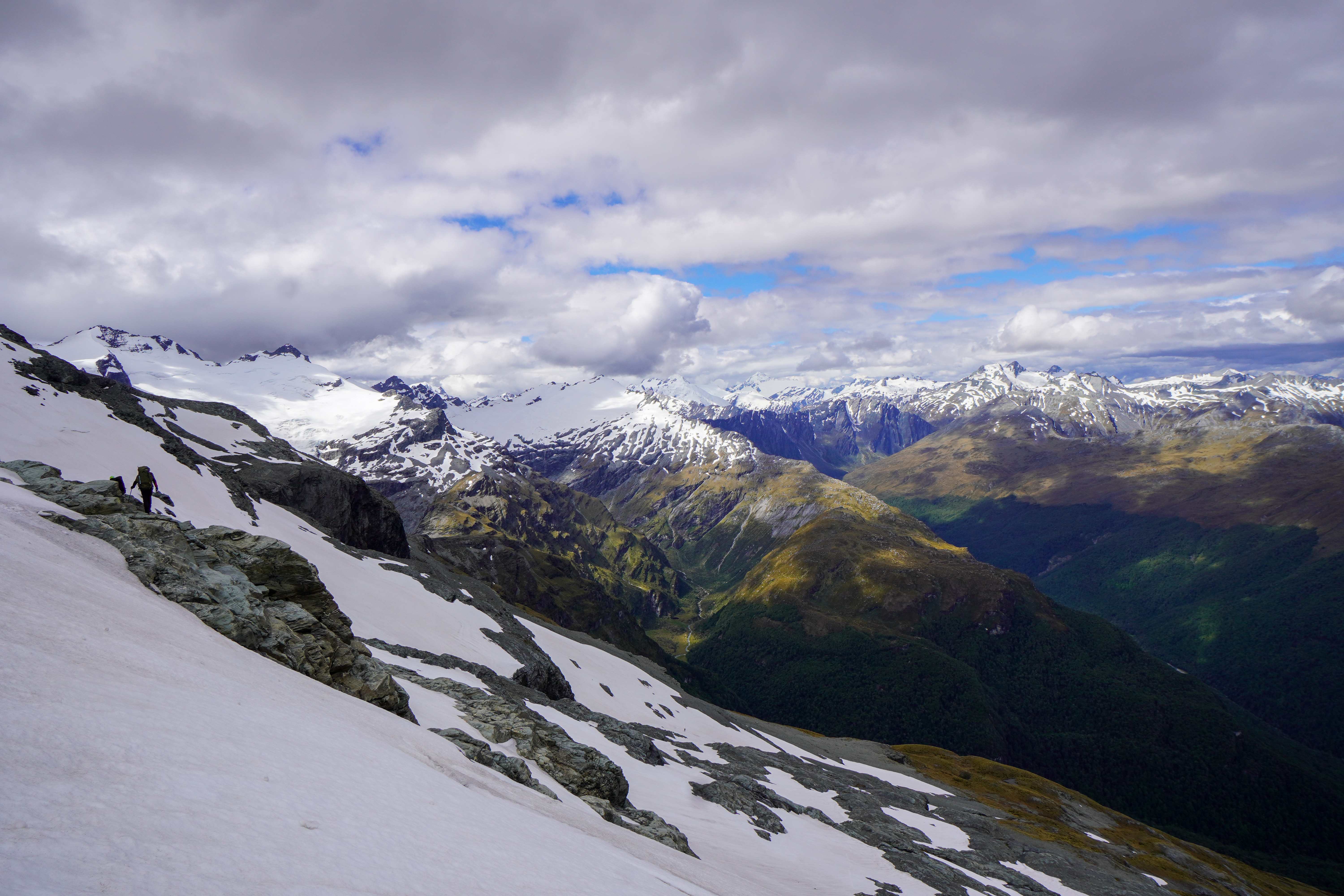
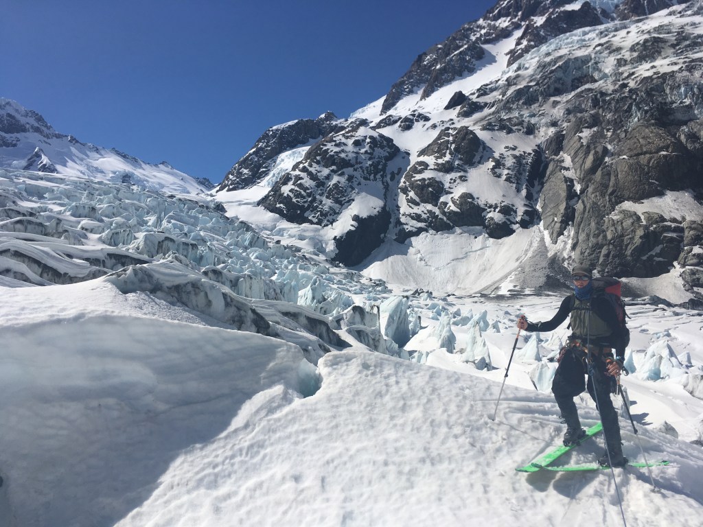
The way you pass the lower ice fall on the Hooker is very condition dependent. When we were there the true left (Pudding Rock) was completely cut off and so the only option was the true right. We were tucked right into the far west of the glacier and skinned up under Dilema peak, the end of the Straunchon glacier and finally under La Perouse. Everything was very open here and we were picking our way through the crevasses over winding and narrow snow bridges (check out the end of the video below to get an idea). Complex route finding but relatively safe as what you see is what you get. From around the 2000m contour things open up and we were back to skinning straight up the glacier for the remainder to the hut.
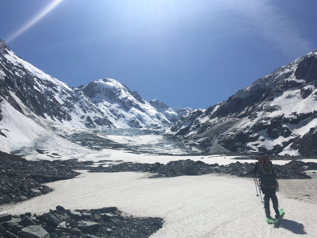
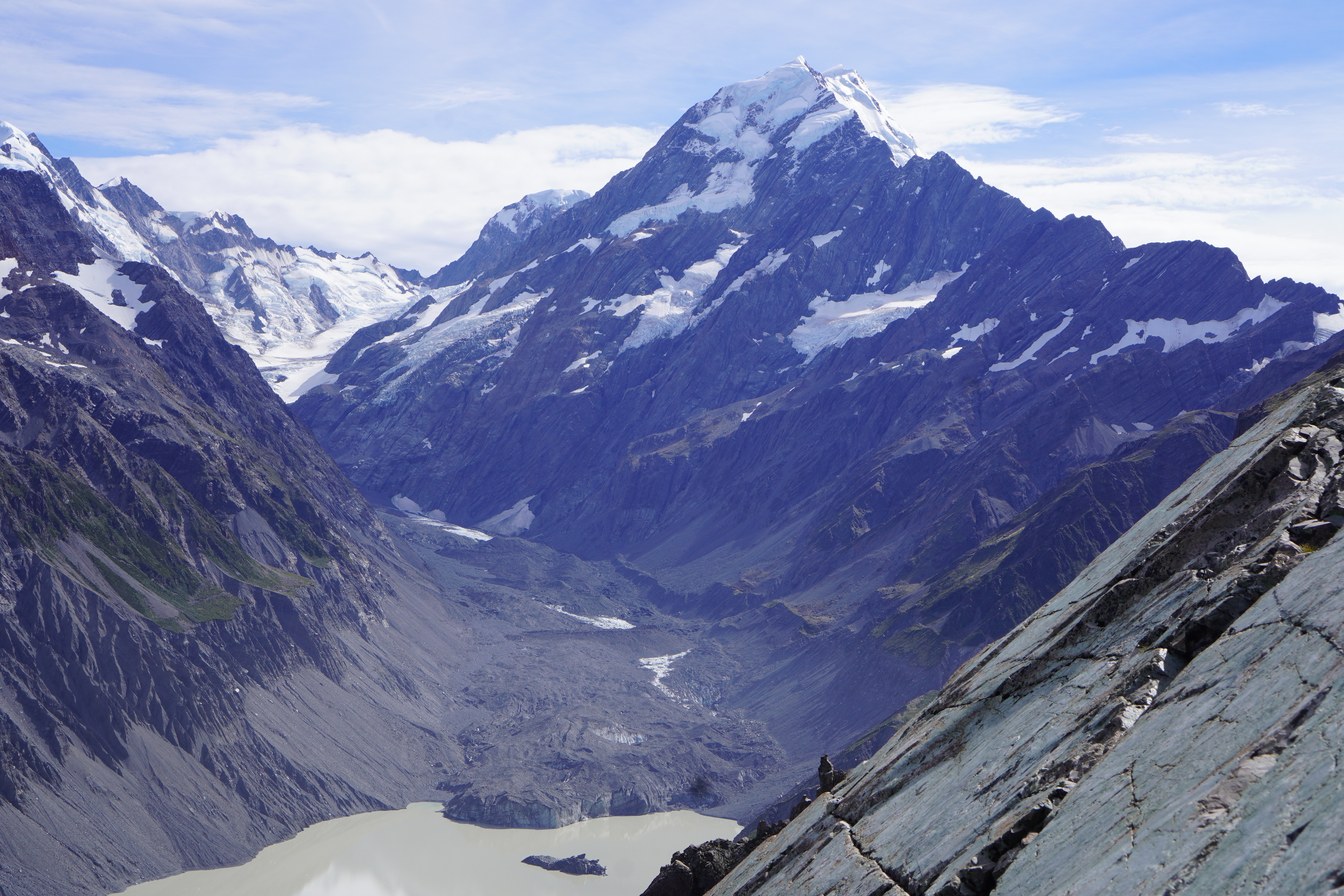
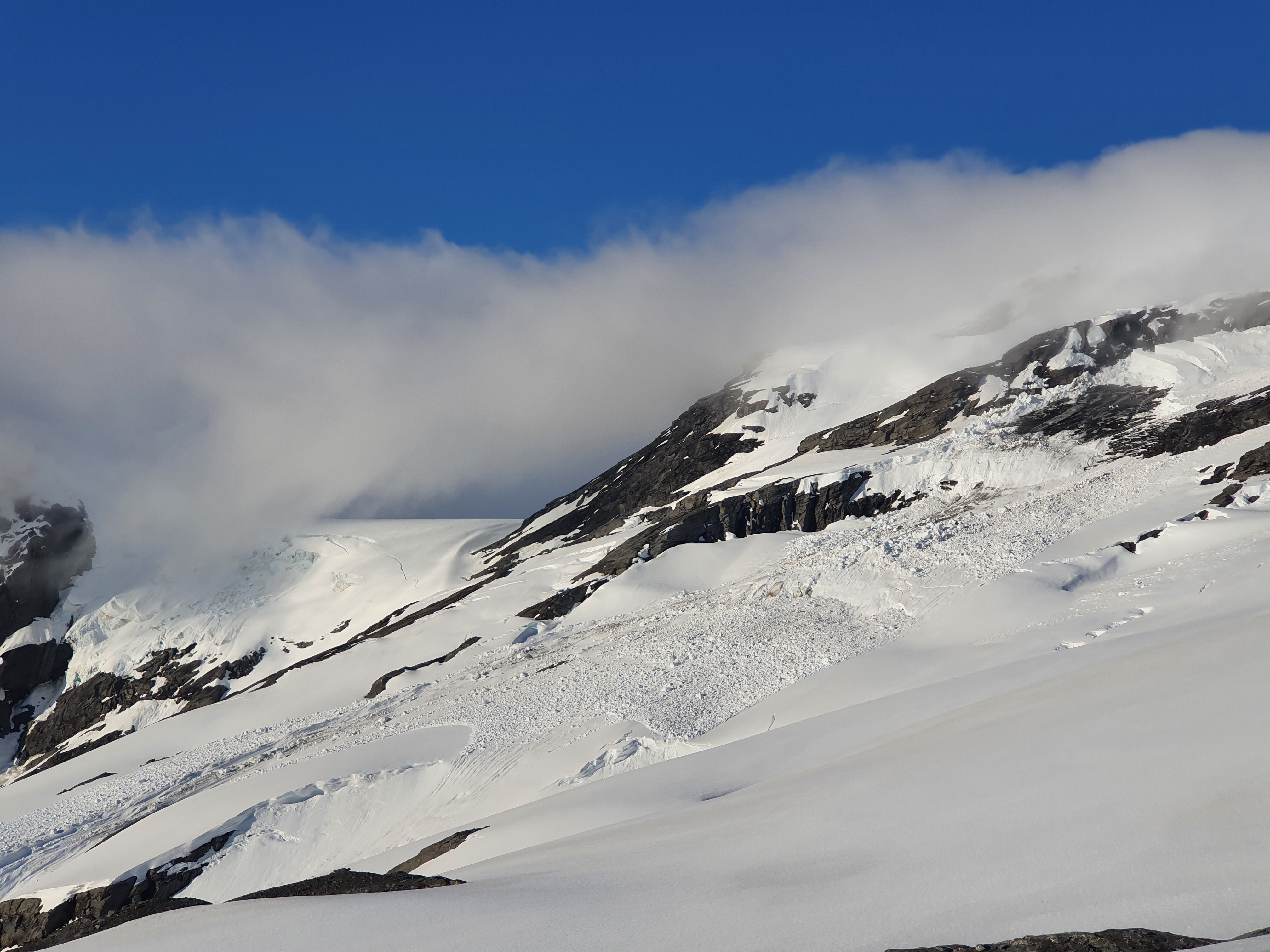
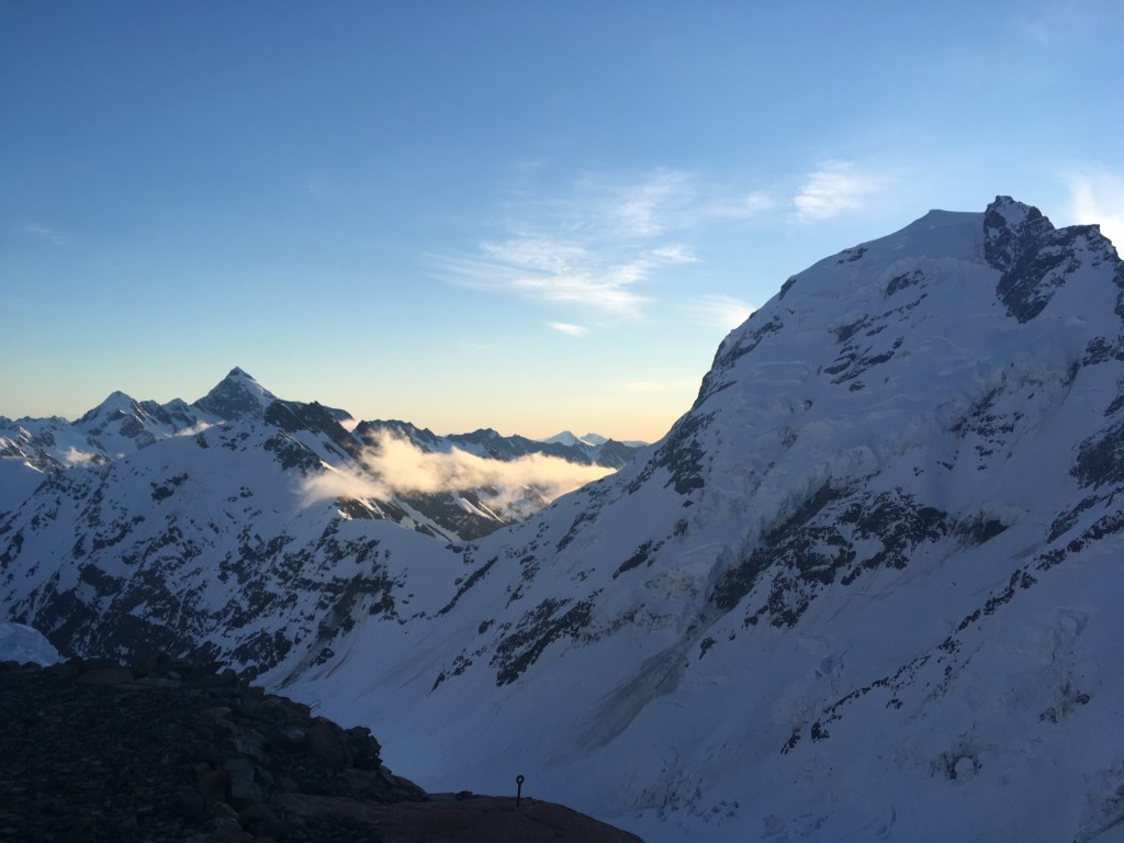
The crevasses here are humongous – we would regularly cross 20cm wide cracks in the snow, and only when directly on top of the crack get to look straight down to see that in fact we were on a snowbridge spanning a gaping monster that disappeared down into the depths of the earth. Several times the 10m of rope between us was barely enough to keep us from both being on the same bridge at the same time. In addition the ice cliff on the east of the glacier at 2200m (just below the words Empress Glacier on the map) was highly active, regularly throwing off car sized chunks. We were thankfully able to stay far enough west to be out of the firing line. However the east faces of Dilemma and La Perouse had regular rockfall once the morning sun started warming them up and there was no way to stay clear of both and get through the crevasse maze, so we had to move fast and keep our fingers crossed.
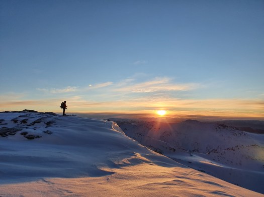
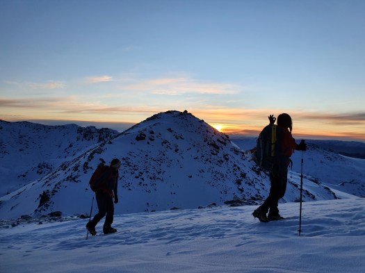
All in all this was a pretty hectic experience and I got to the hut feeling like I never wanted to come up the Hooker again. From speaking to friends who have been up to Empress I think it was especially scary when we were there and this isn’t a typical experience – later in the year and everything would be more open with no hidden surprises, earlier everything would be more filled in. Either way it put me firmly into the ’we should open the Hooker to heli access’ camp, especially as the whole way in we could hear the buzz of scenic flights overhead in anycase. Maybe not a popular opinion with the purists, but Im sure would increase the number of people who would enjoy the epic terrain above the Empress hut.
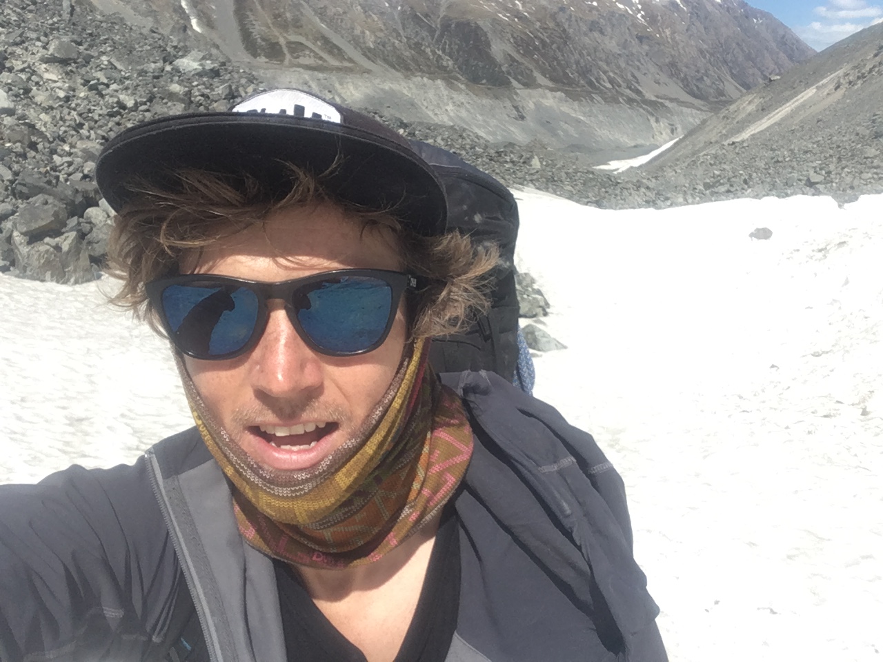
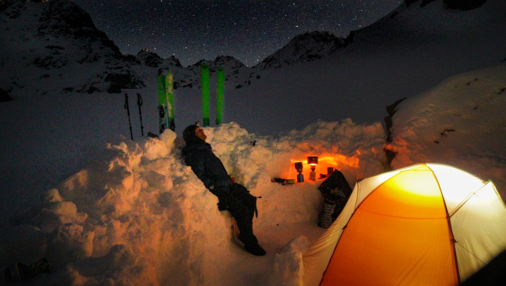
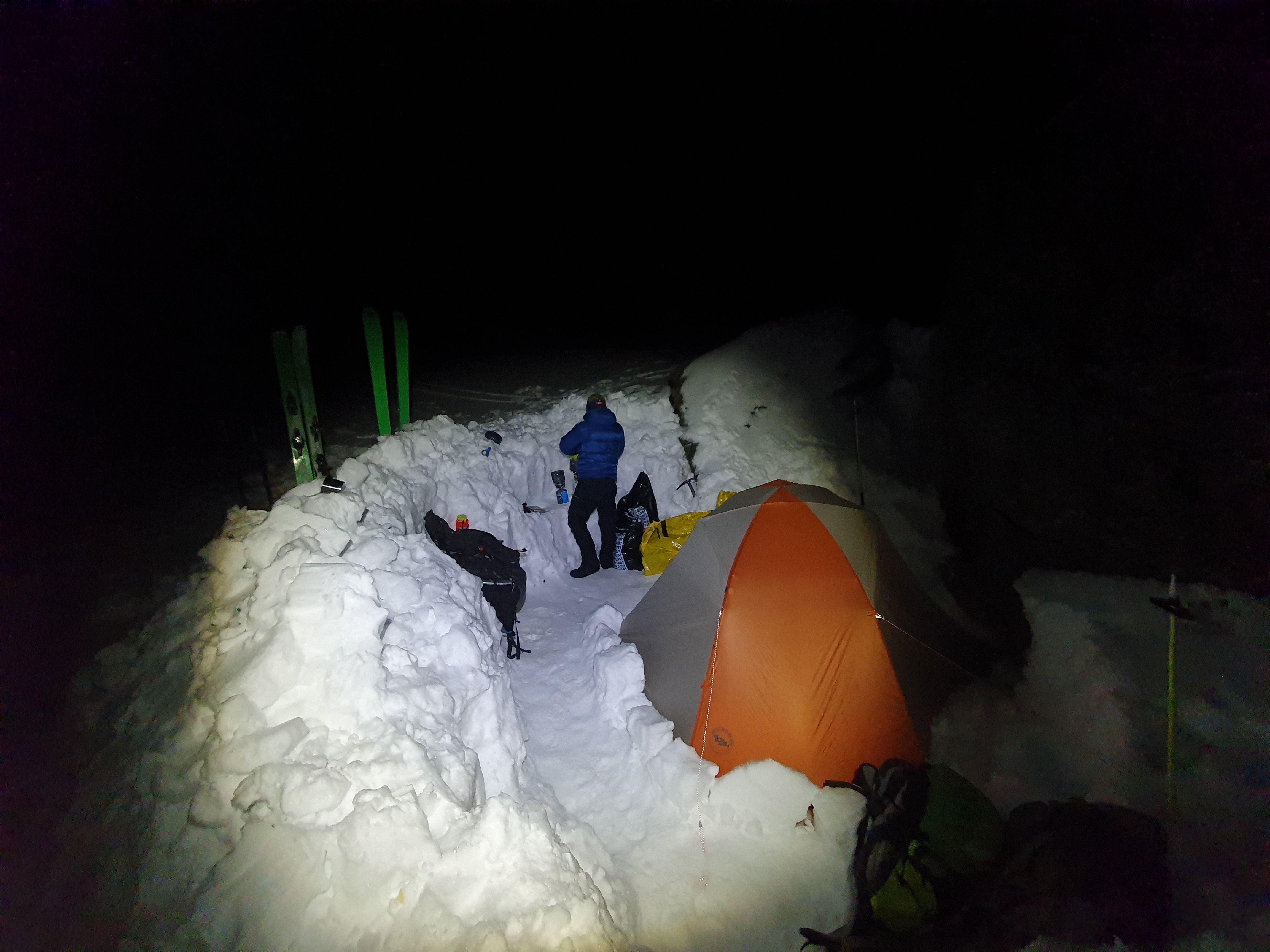
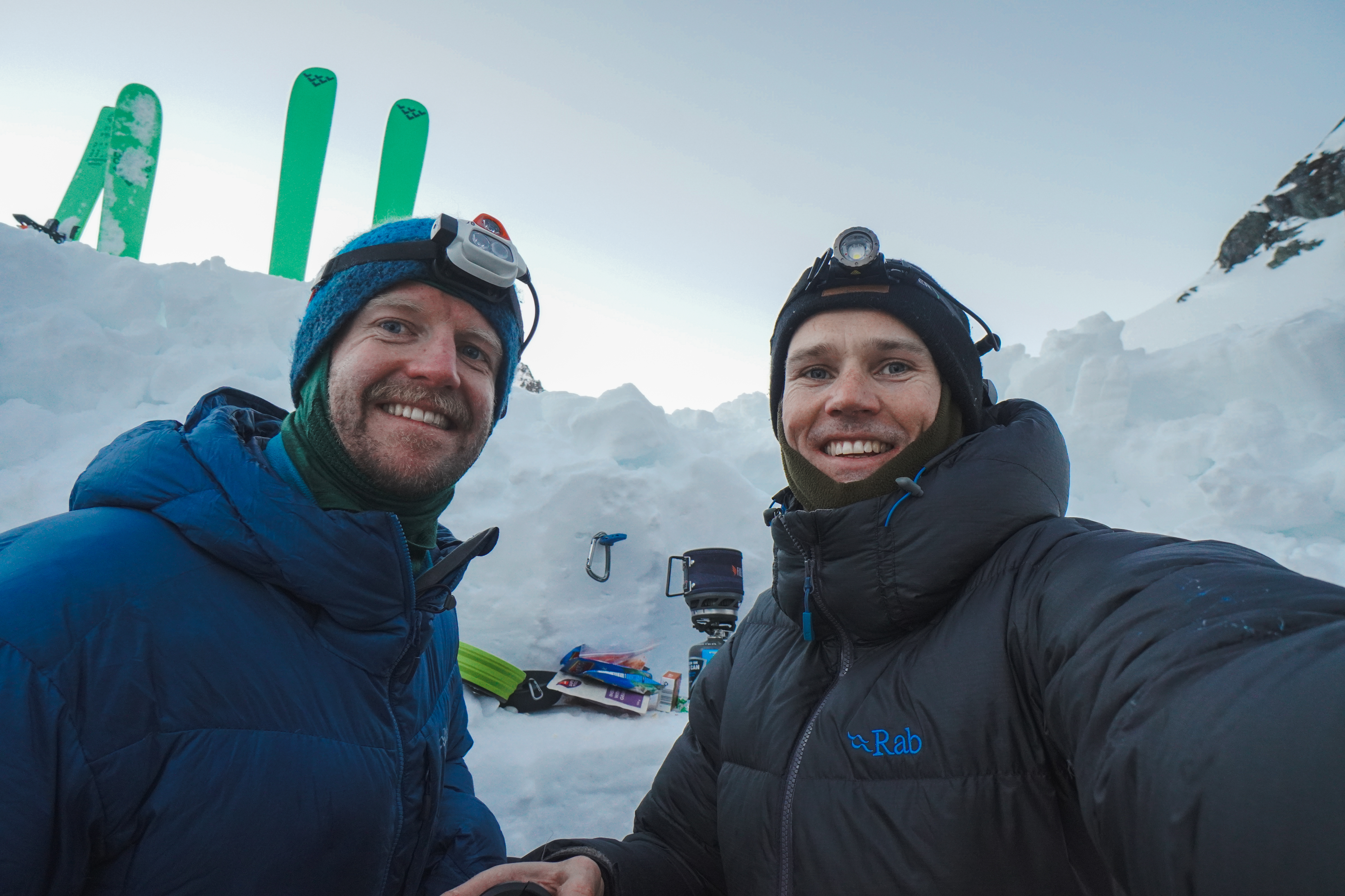
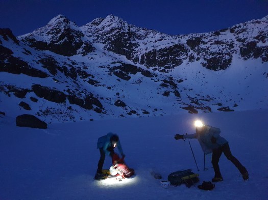
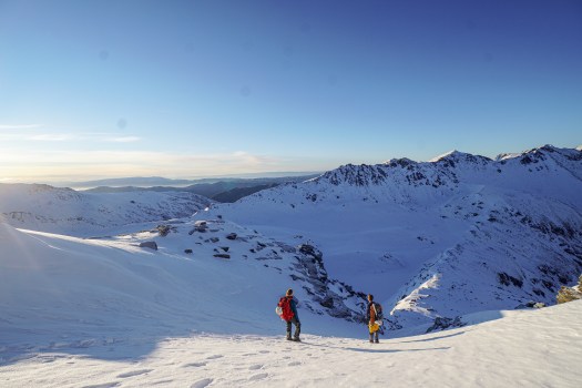
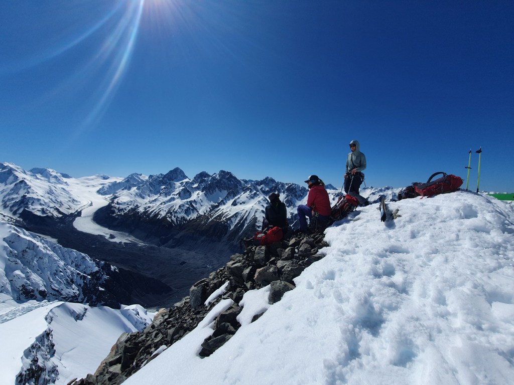
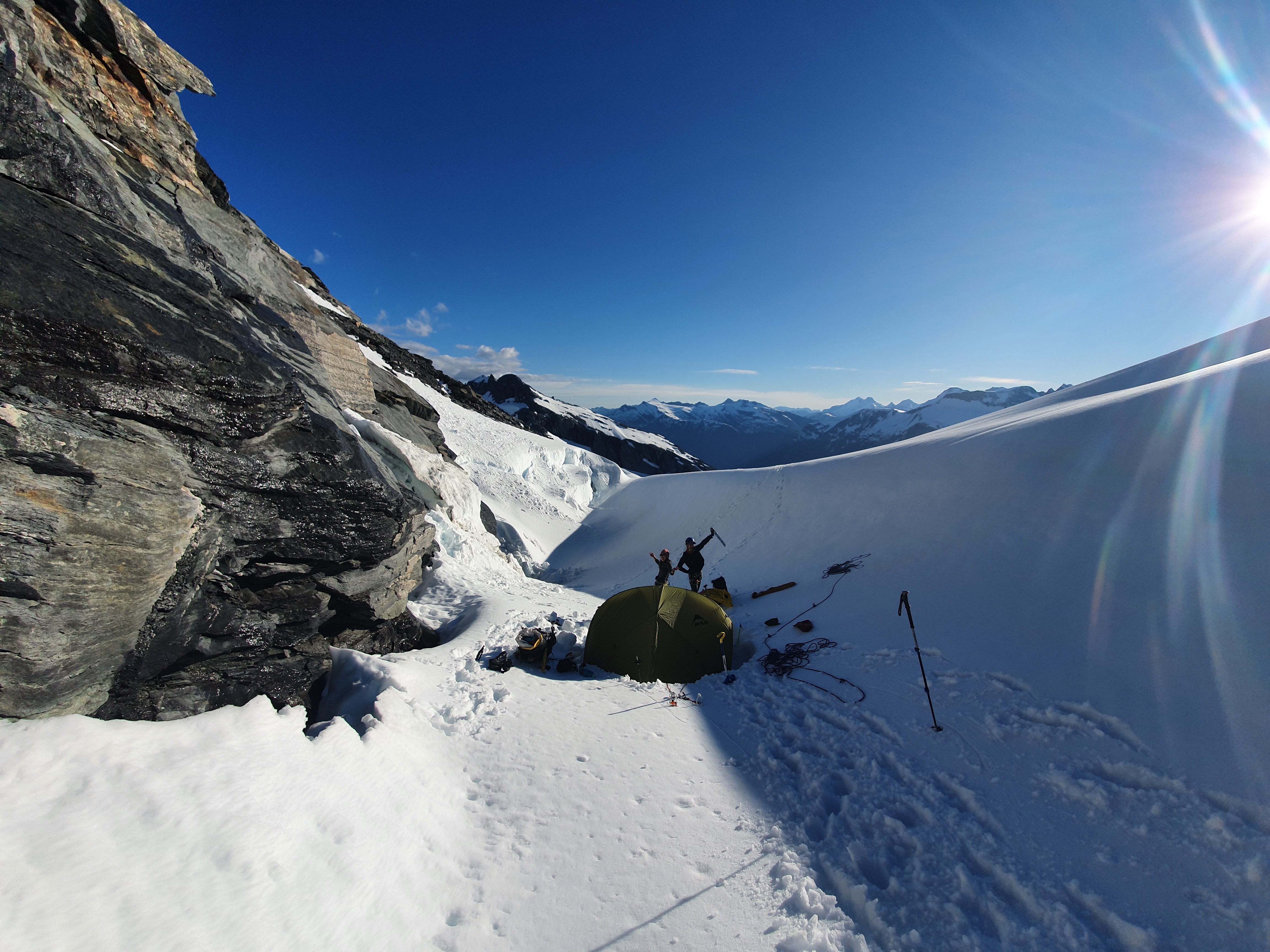
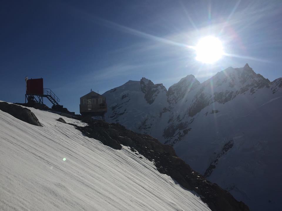
Empress Hut is a pretty special place – the difficult access means it not many people make it up there and so you can flick through decades of entries in the hut book and soak up the history of the area.
Climb
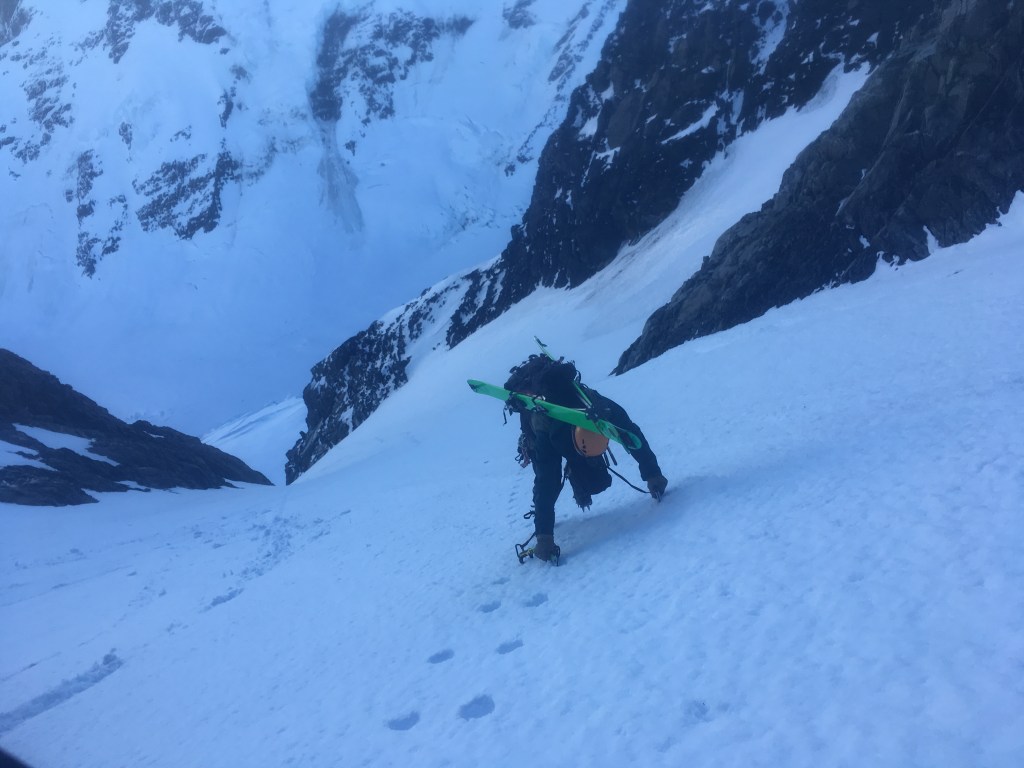
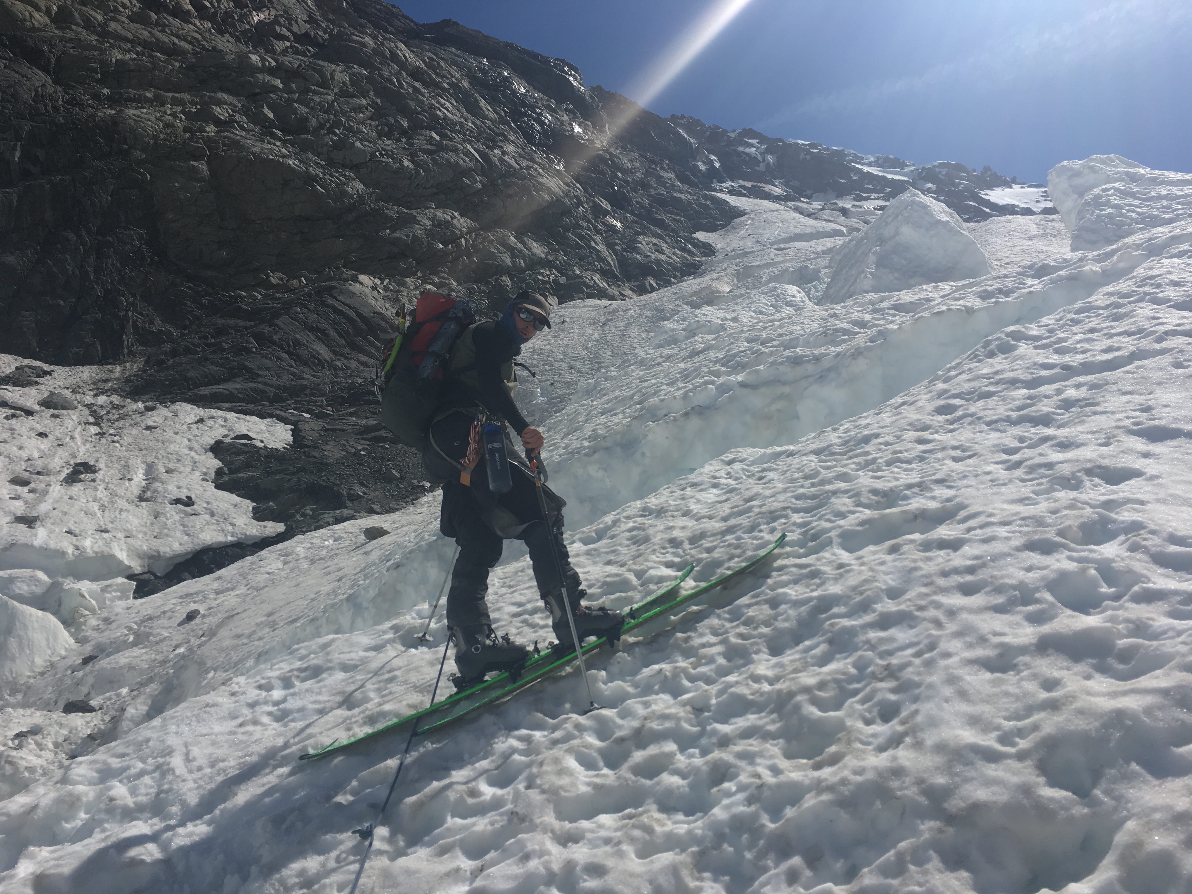
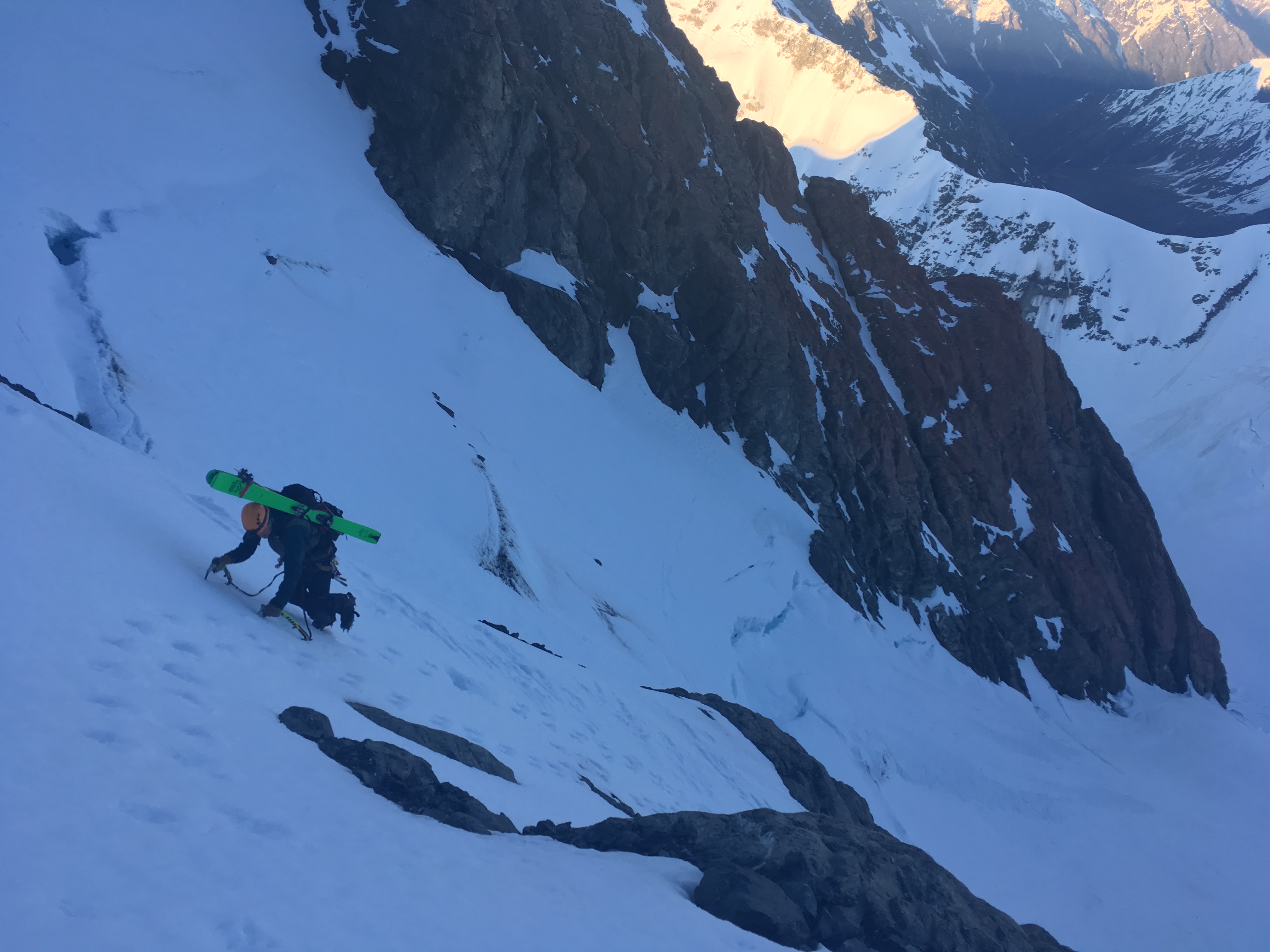
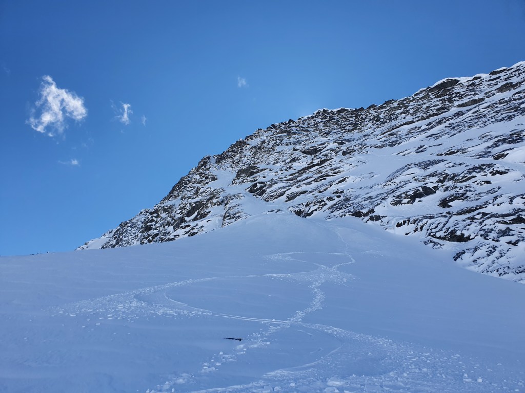
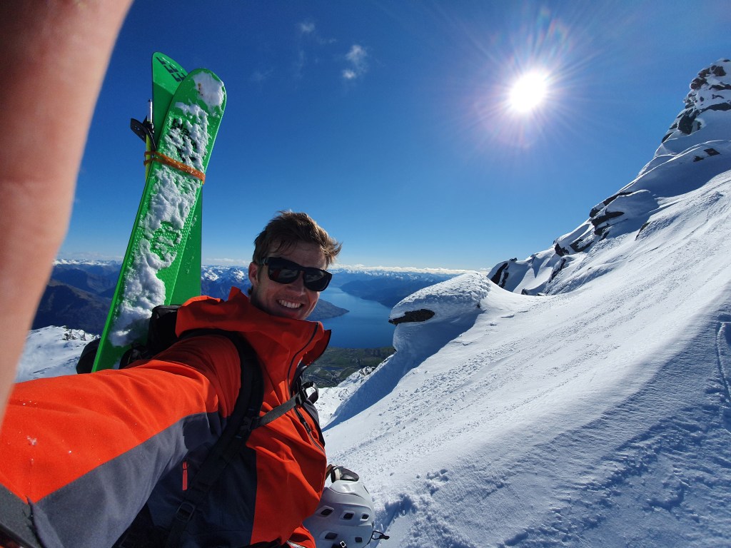
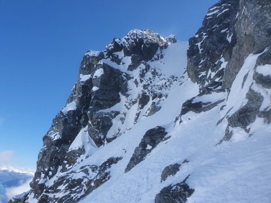
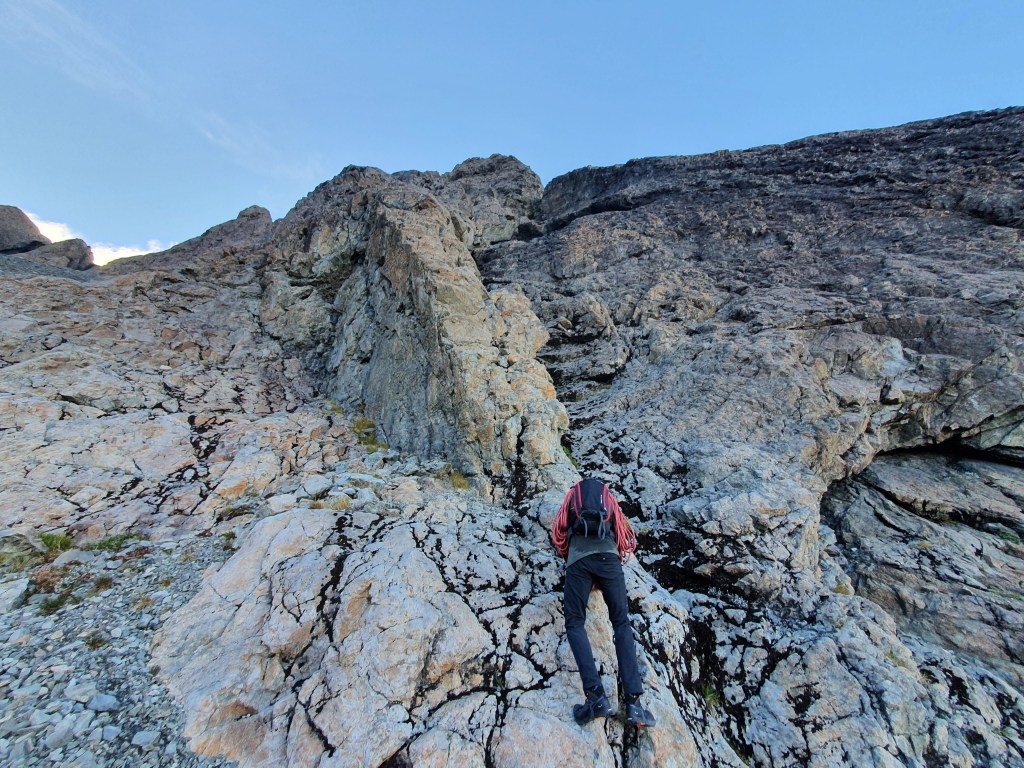
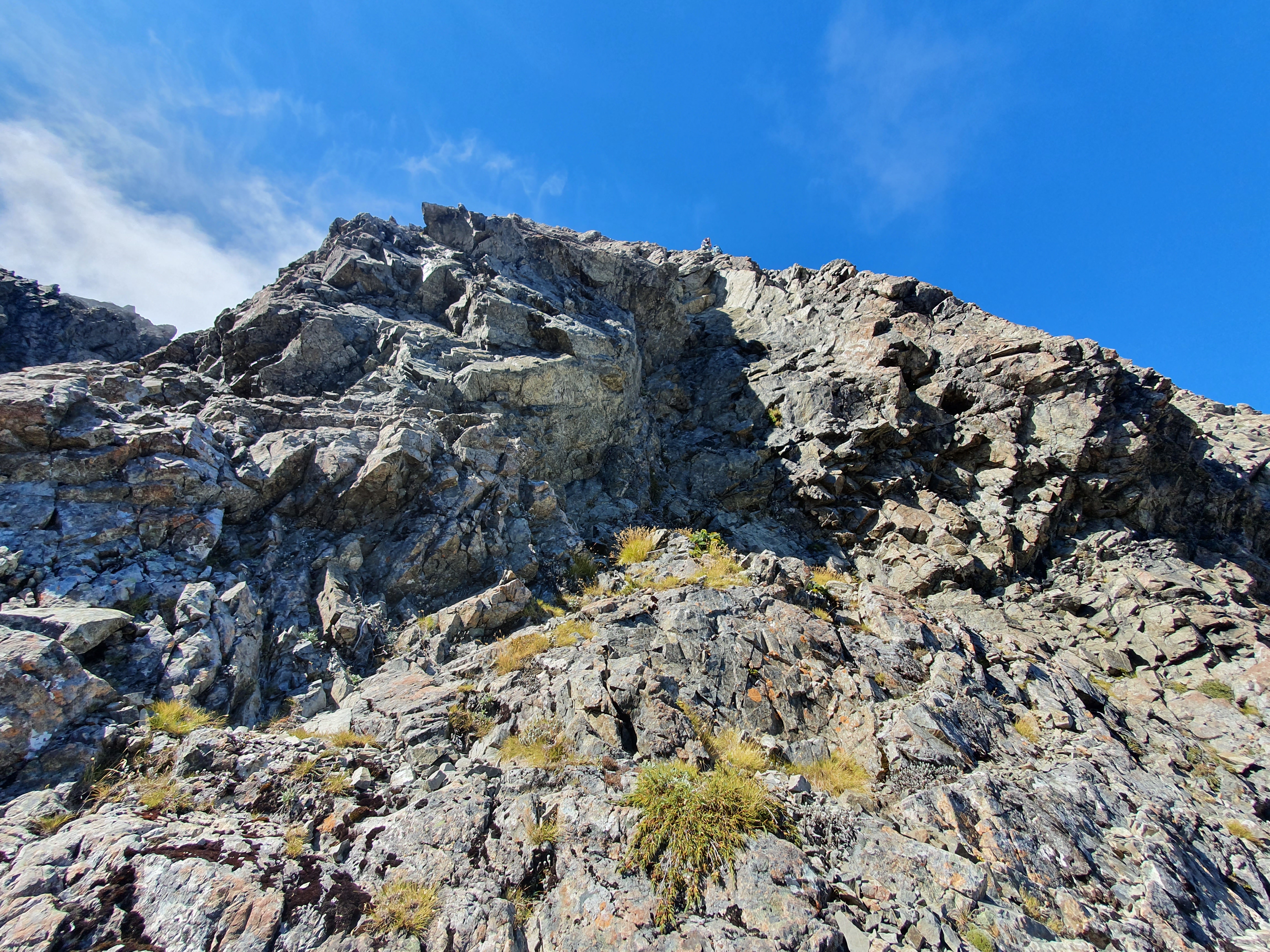
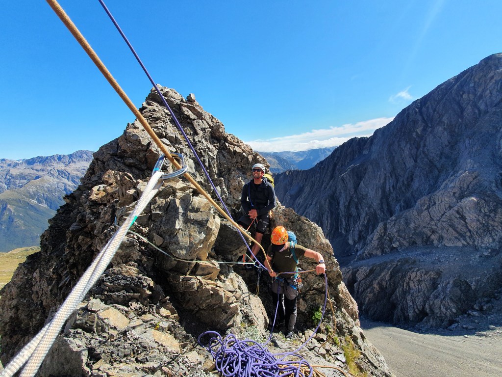
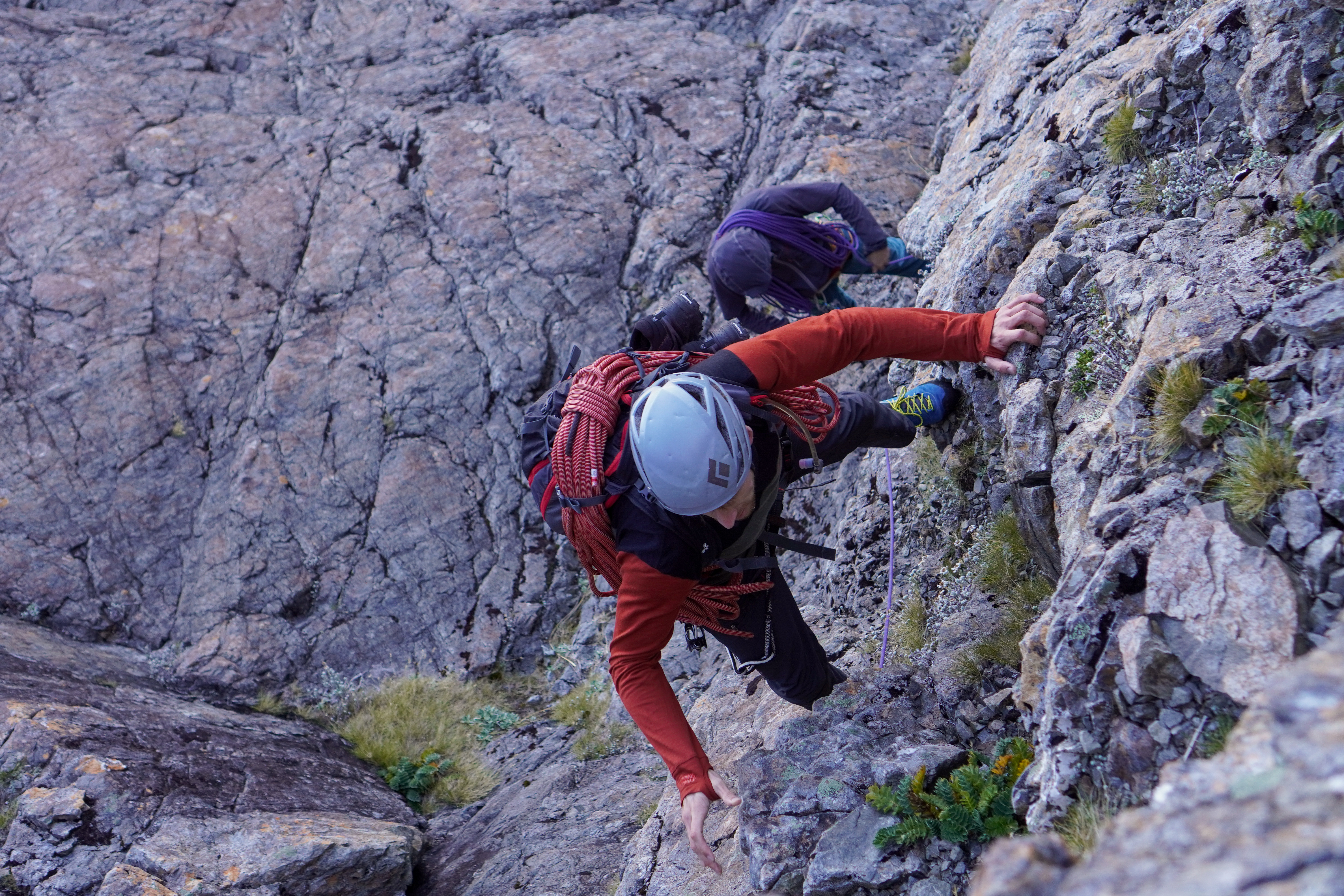
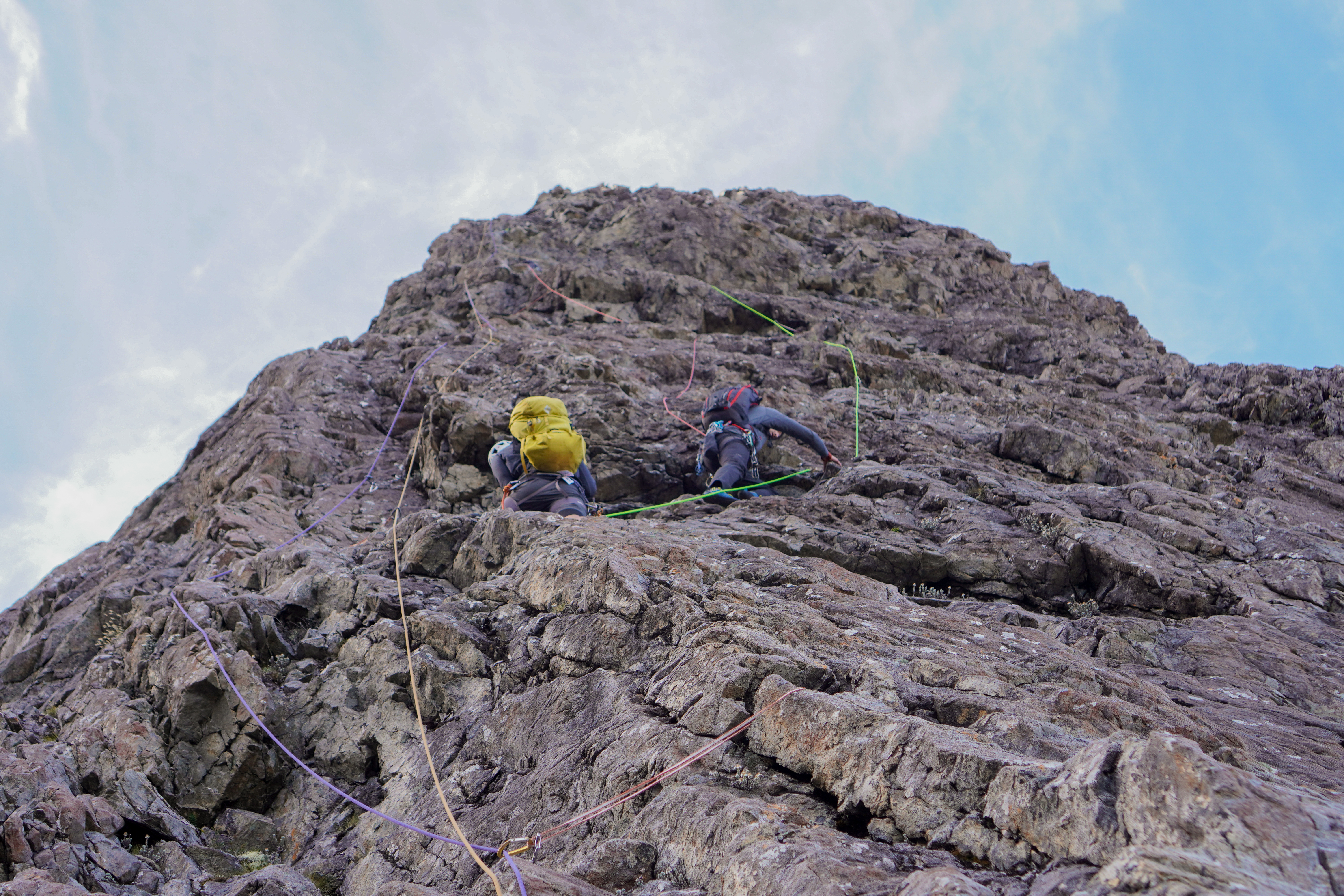
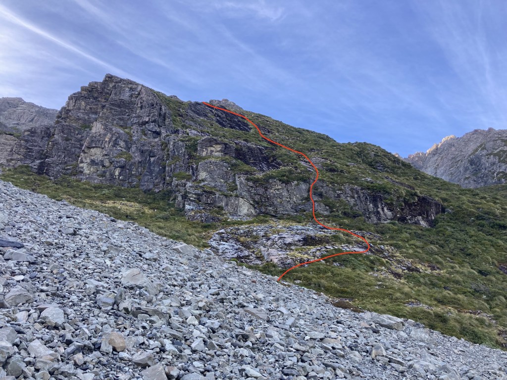
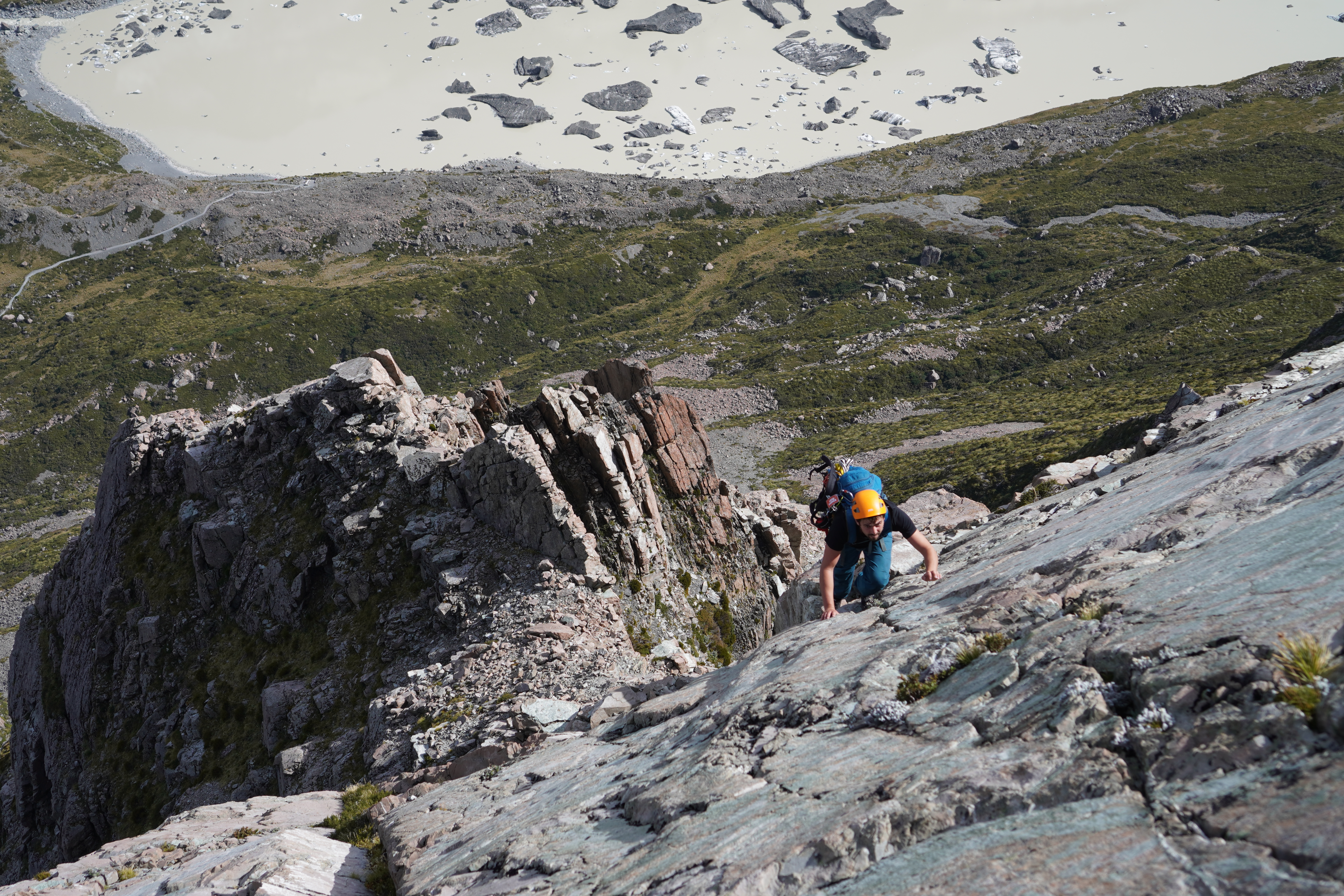
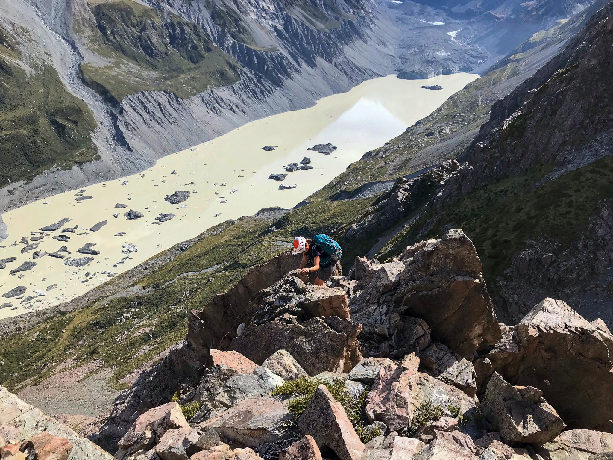
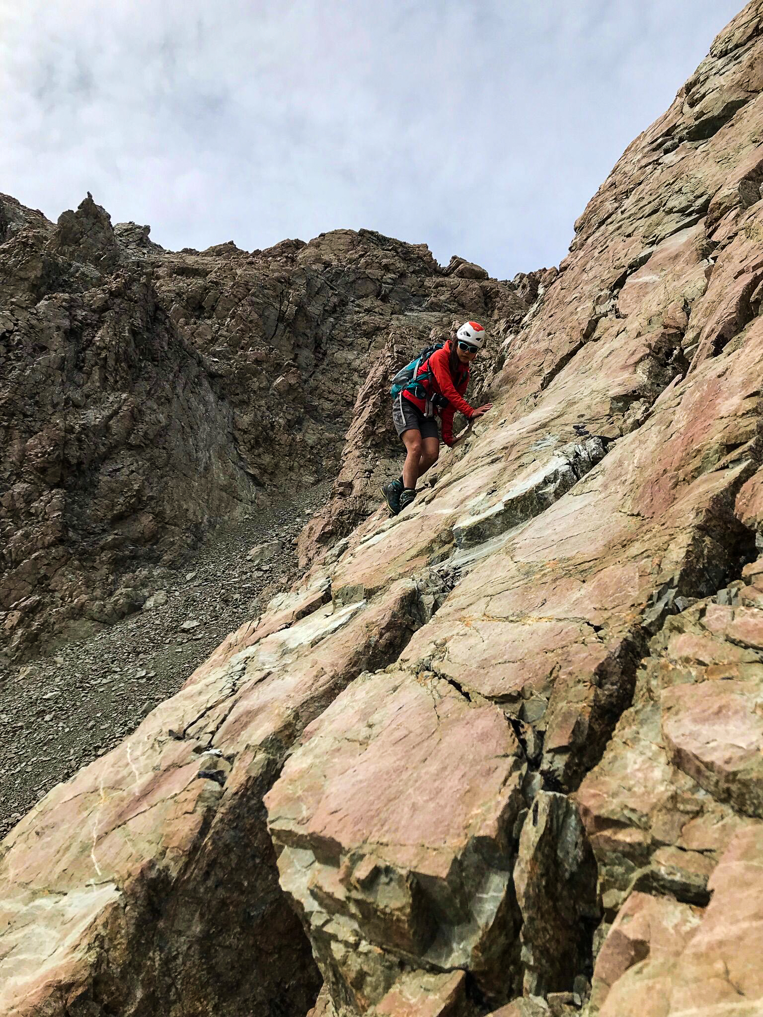
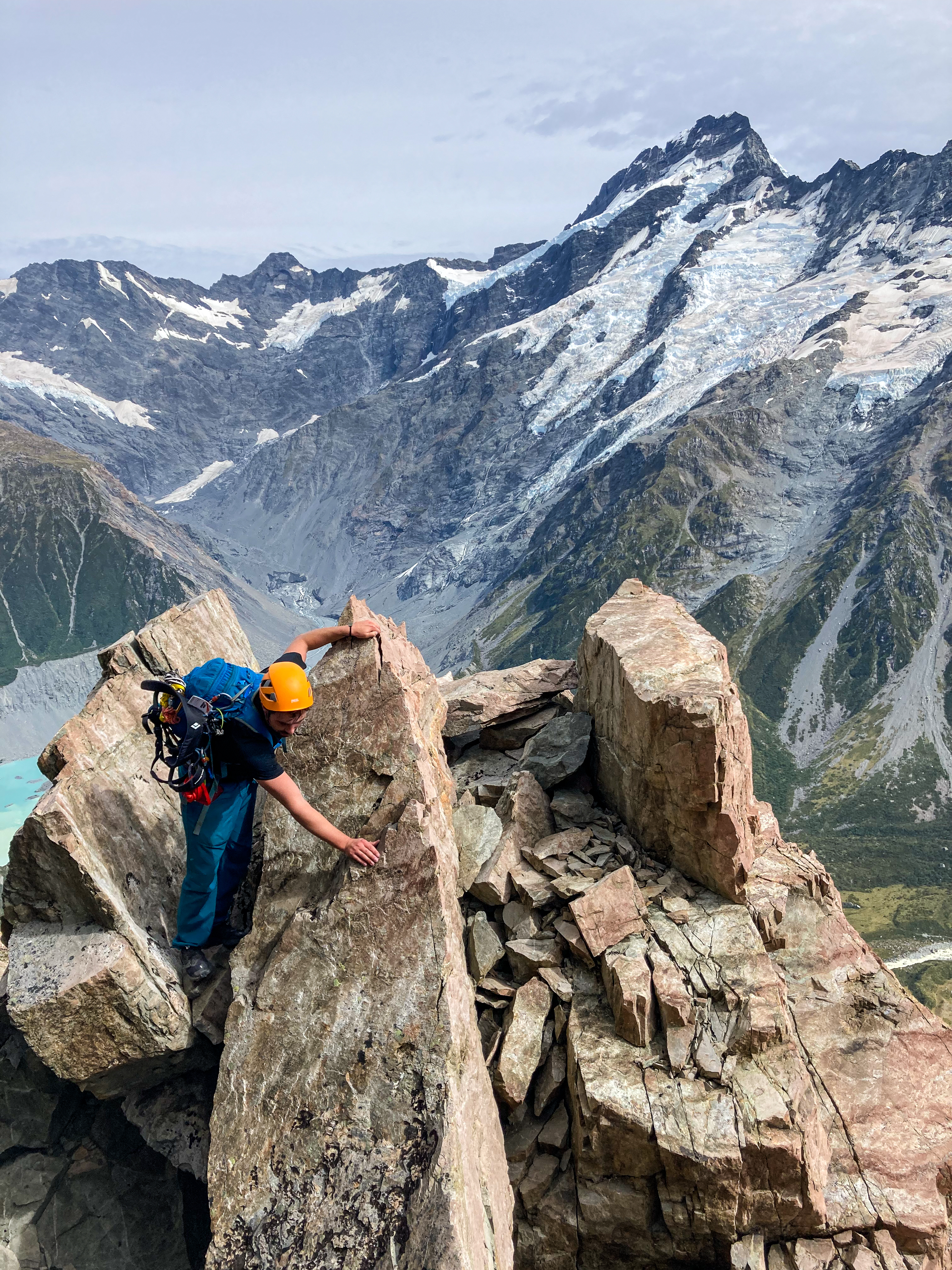
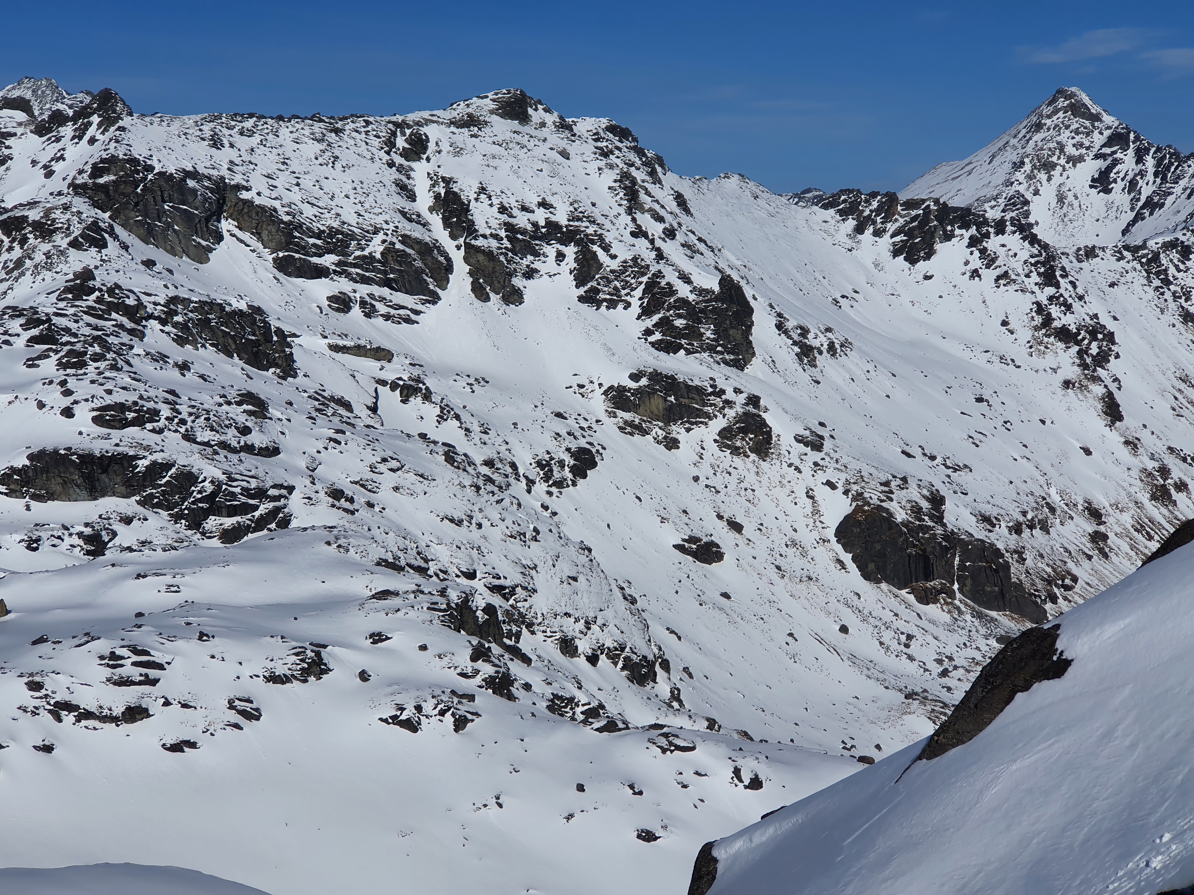
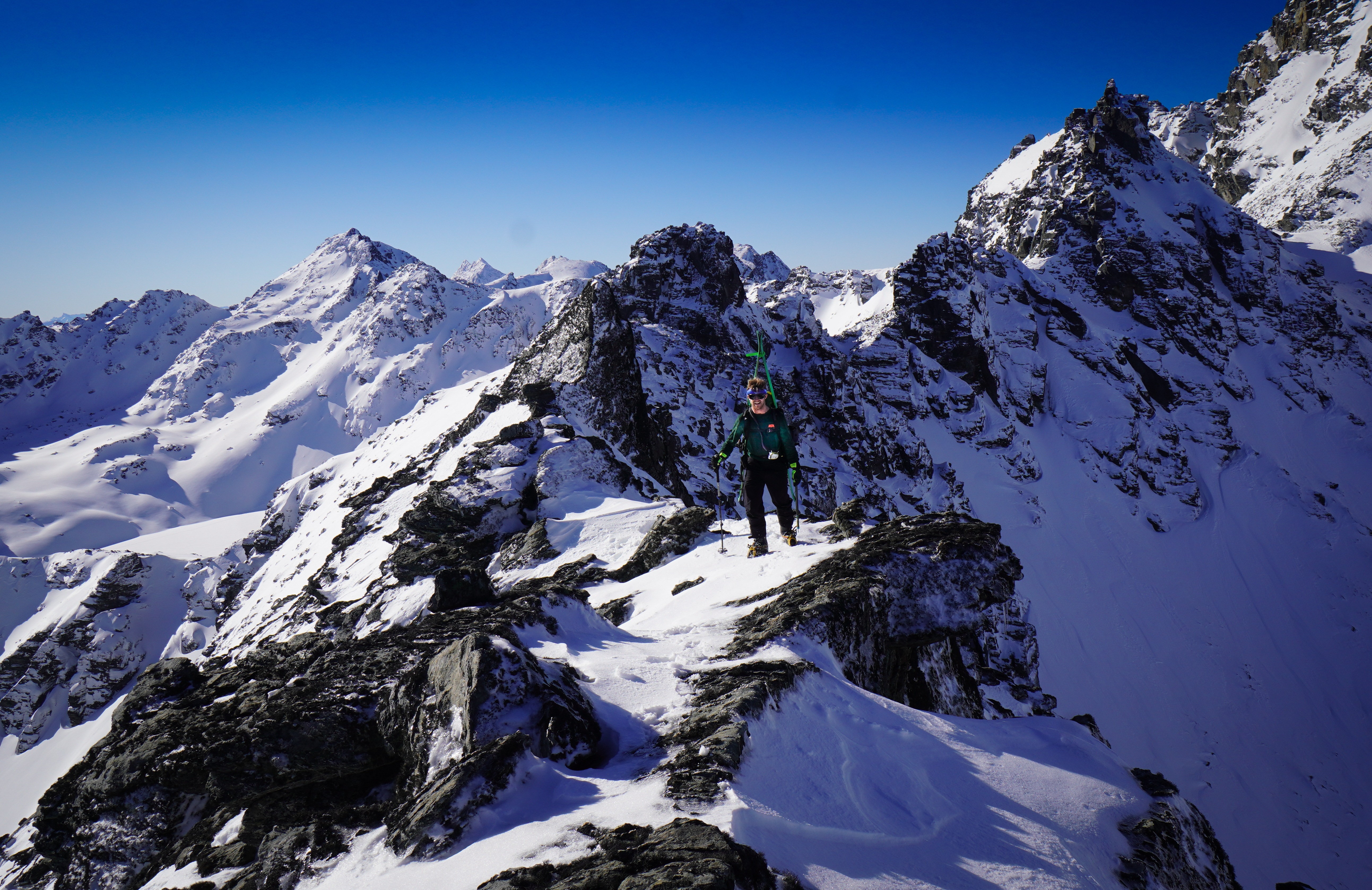
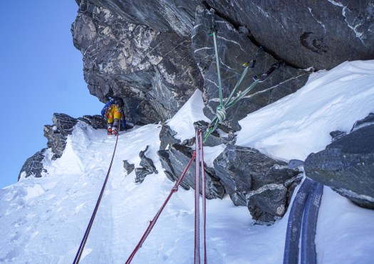
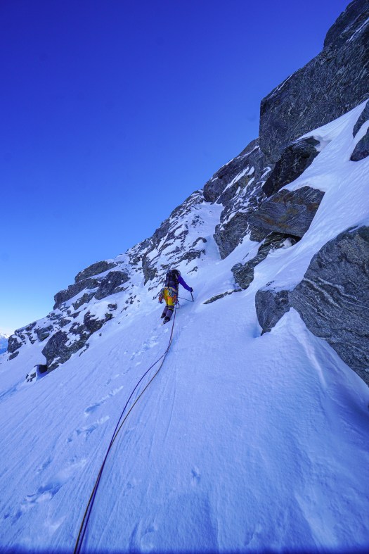
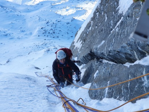
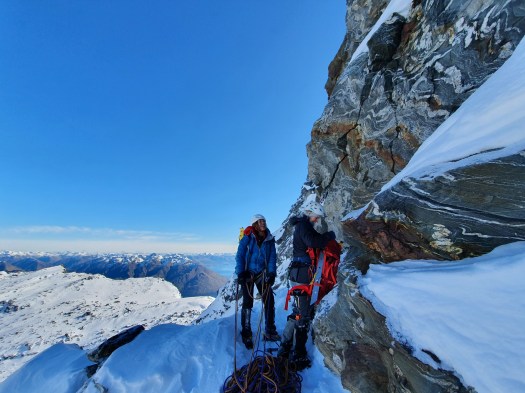
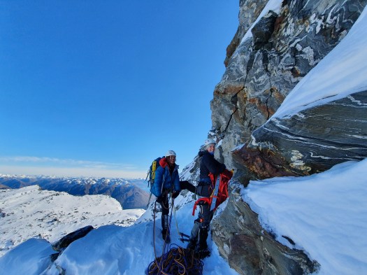
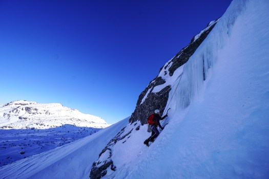
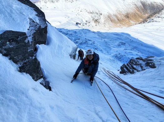
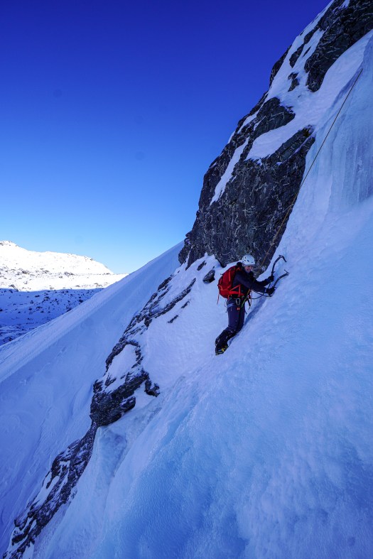
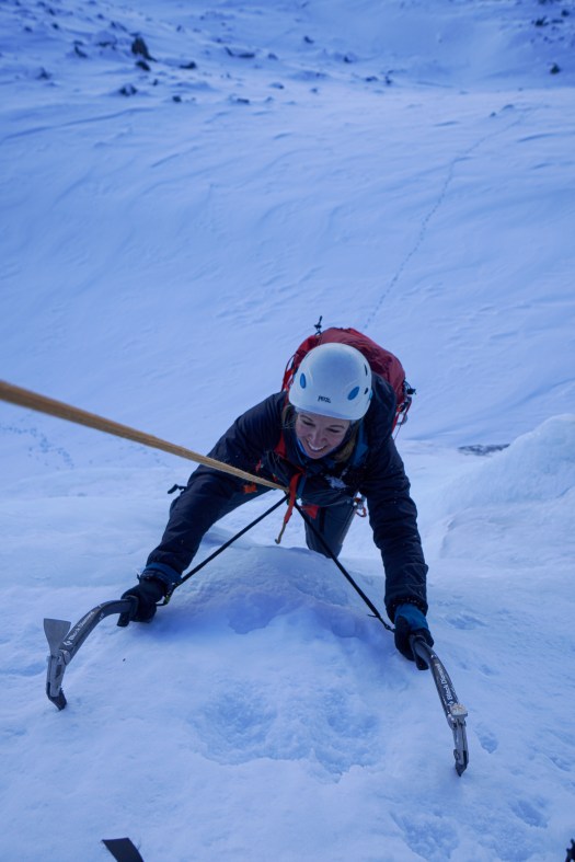
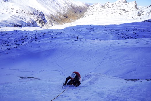
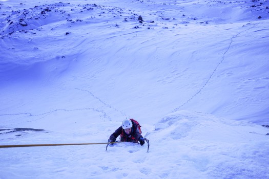
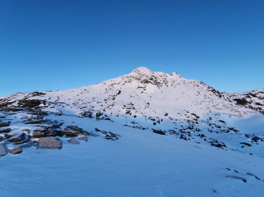
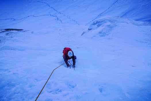
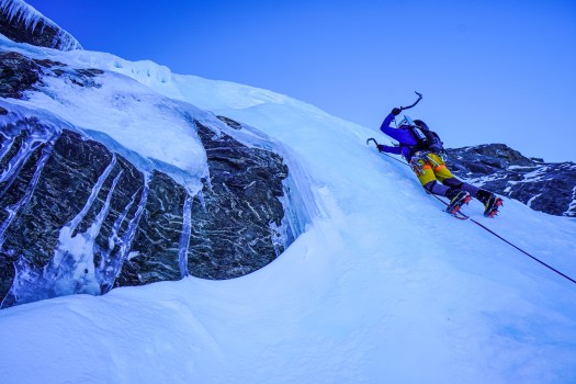
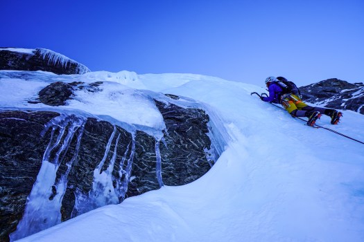
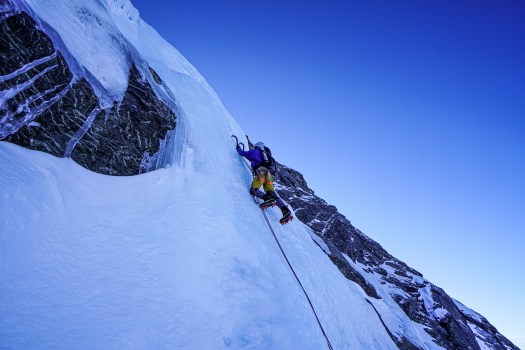
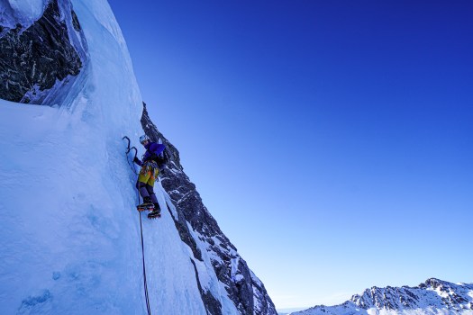
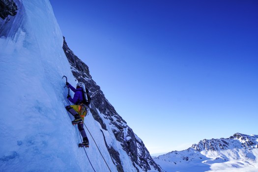
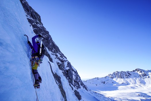
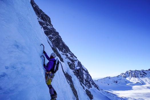
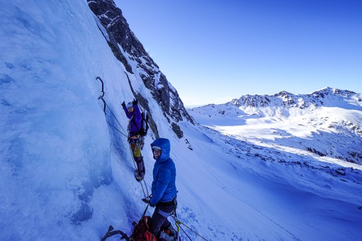
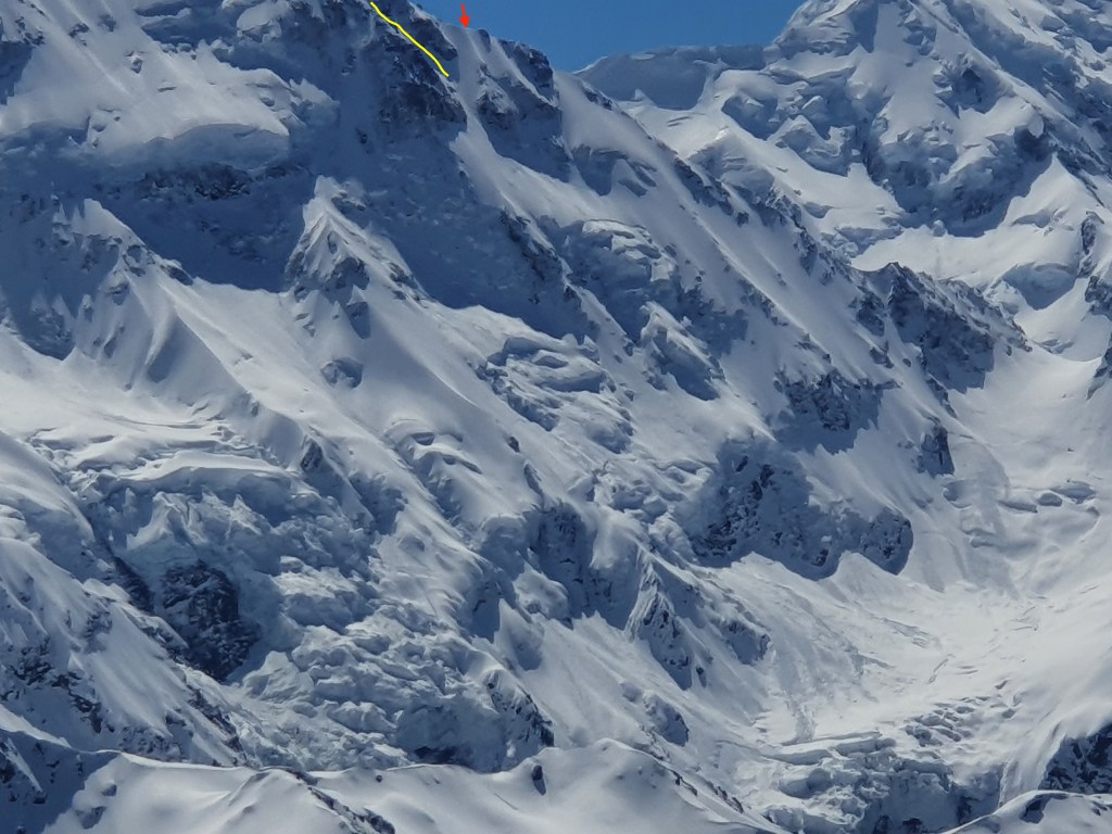
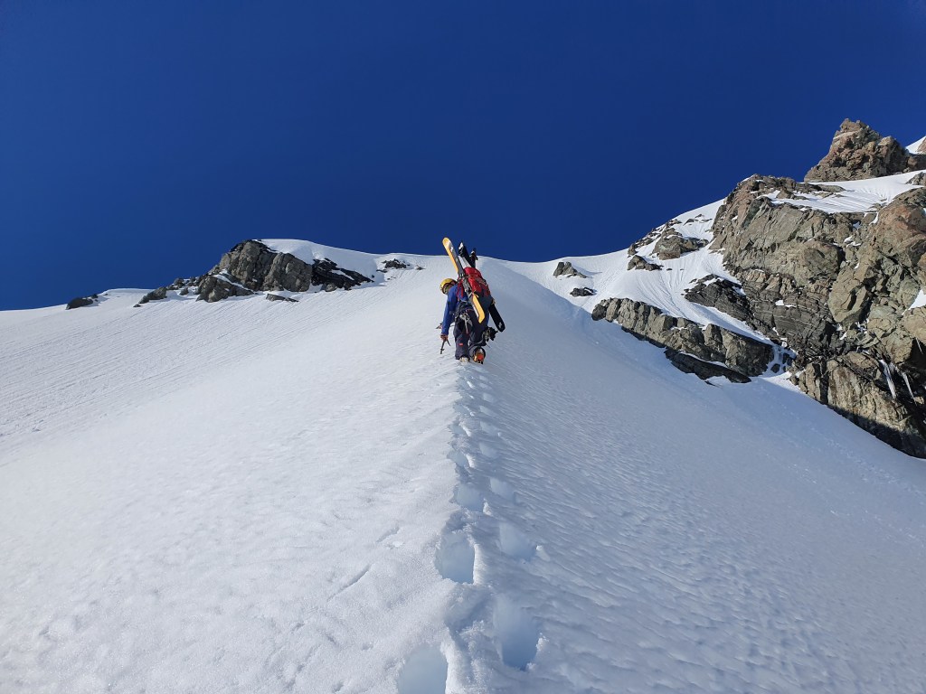
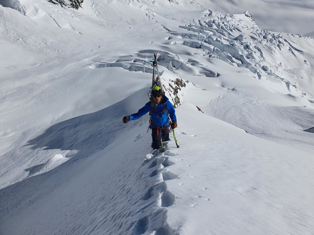
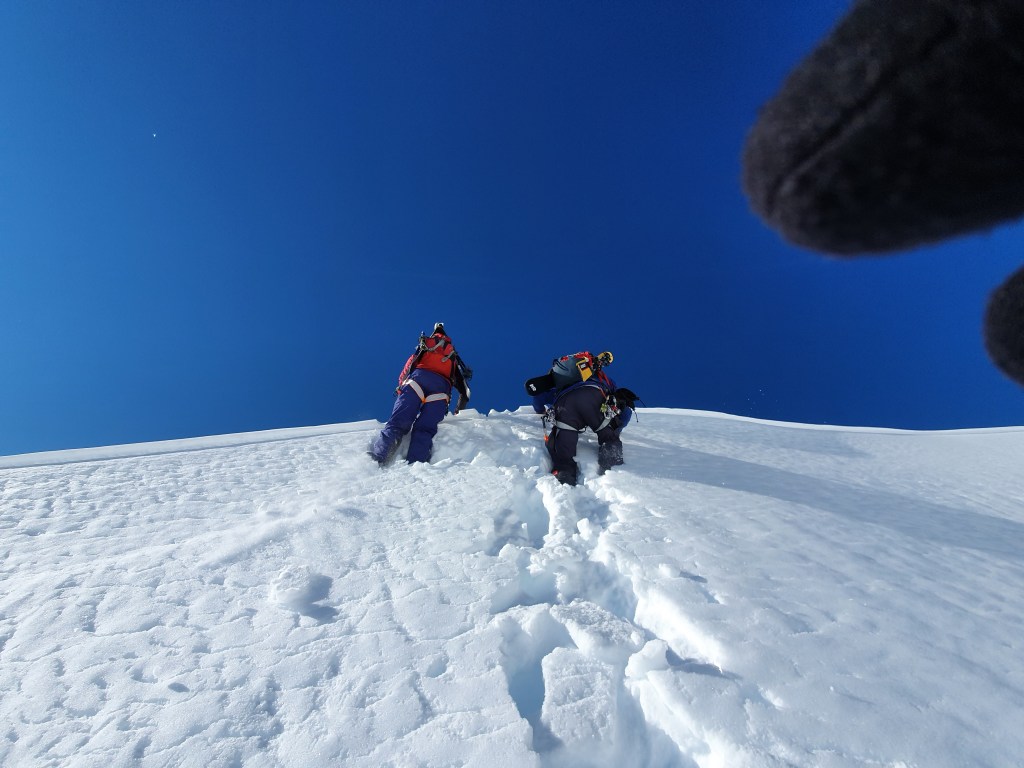
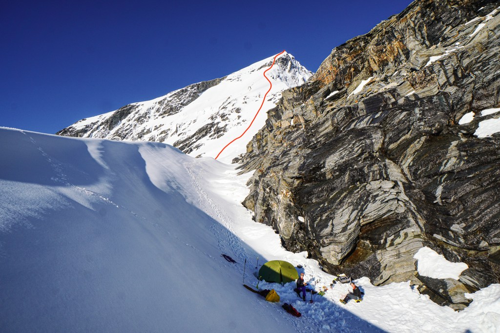
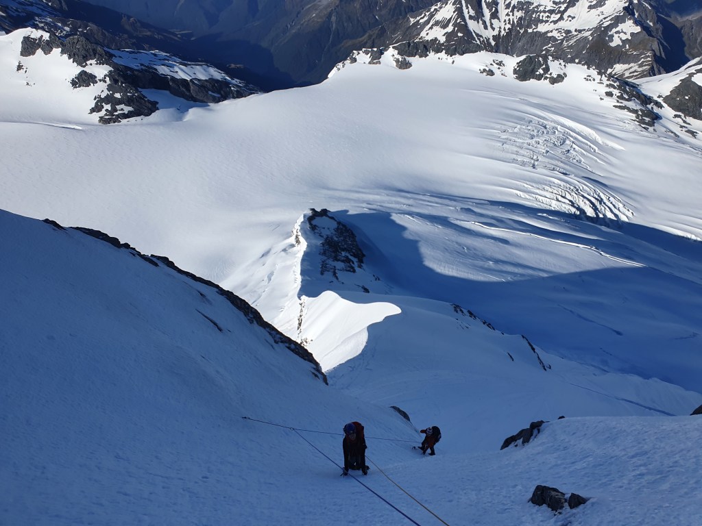
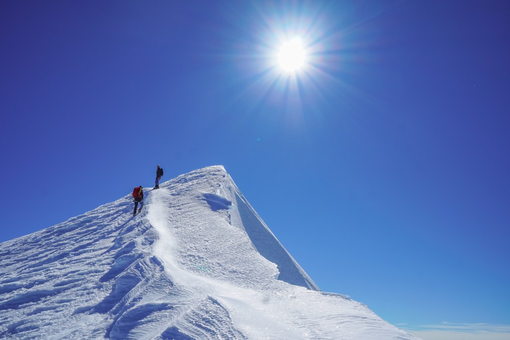
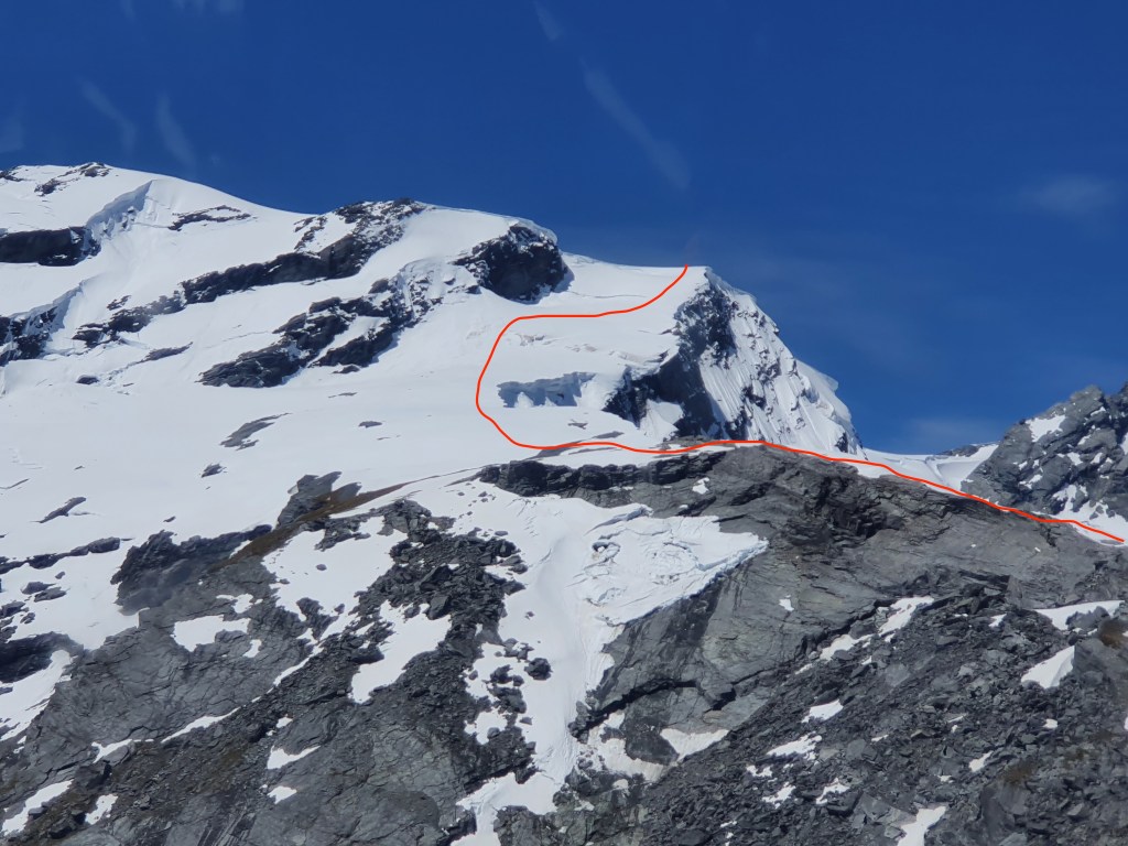
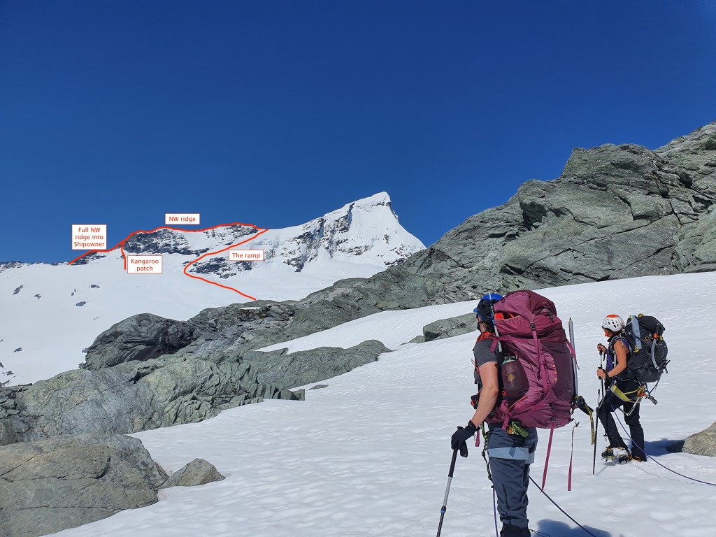
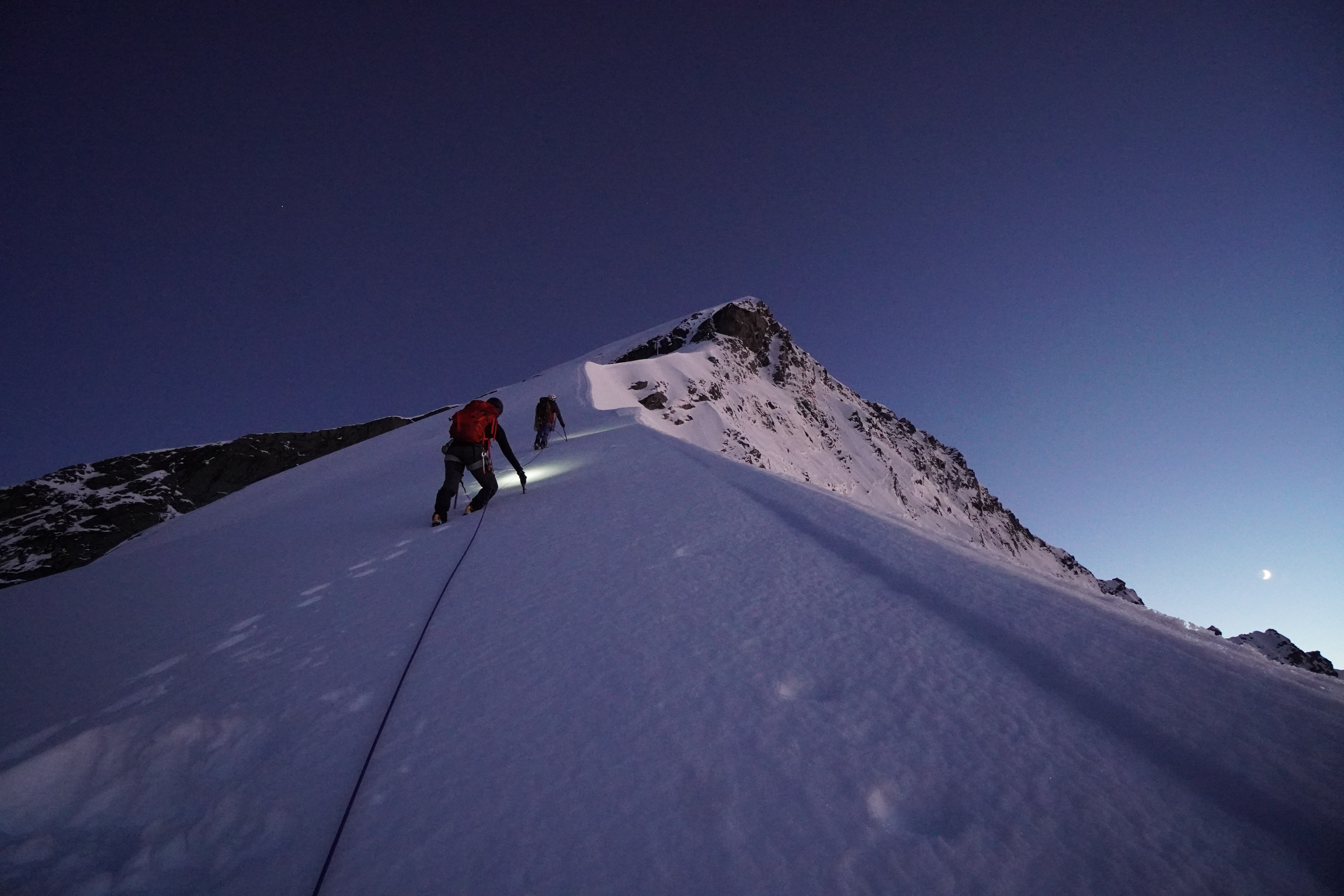
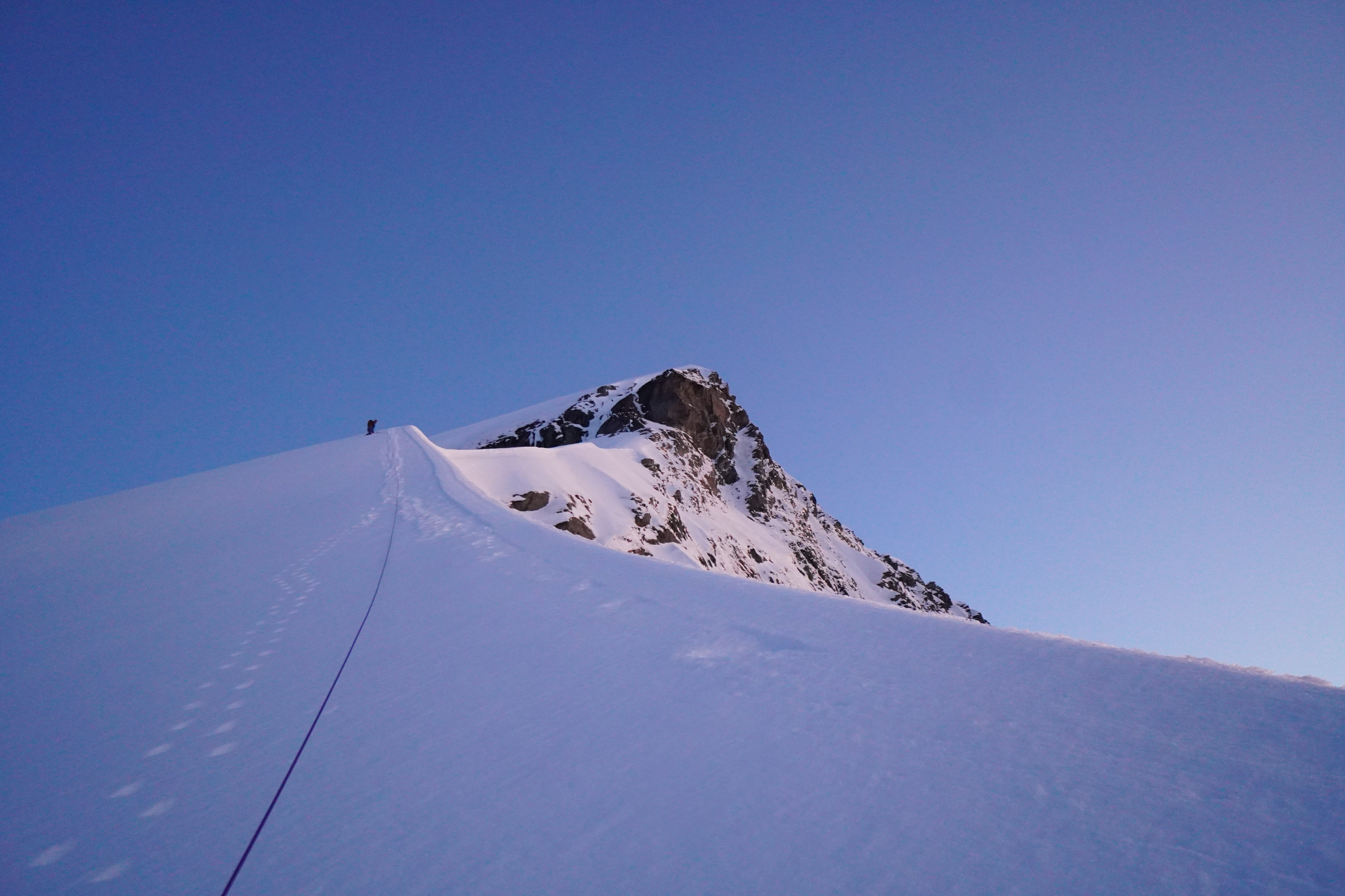
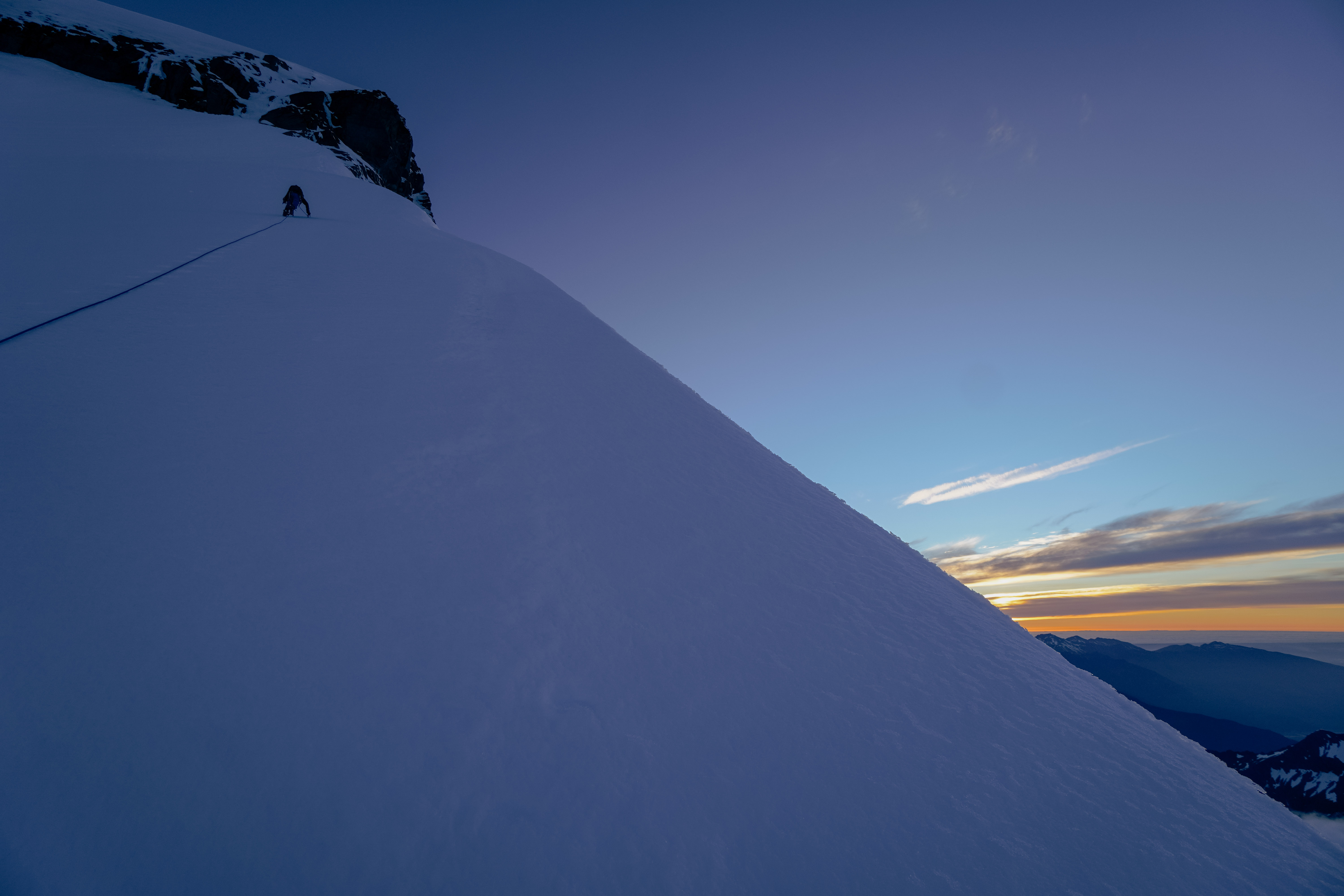
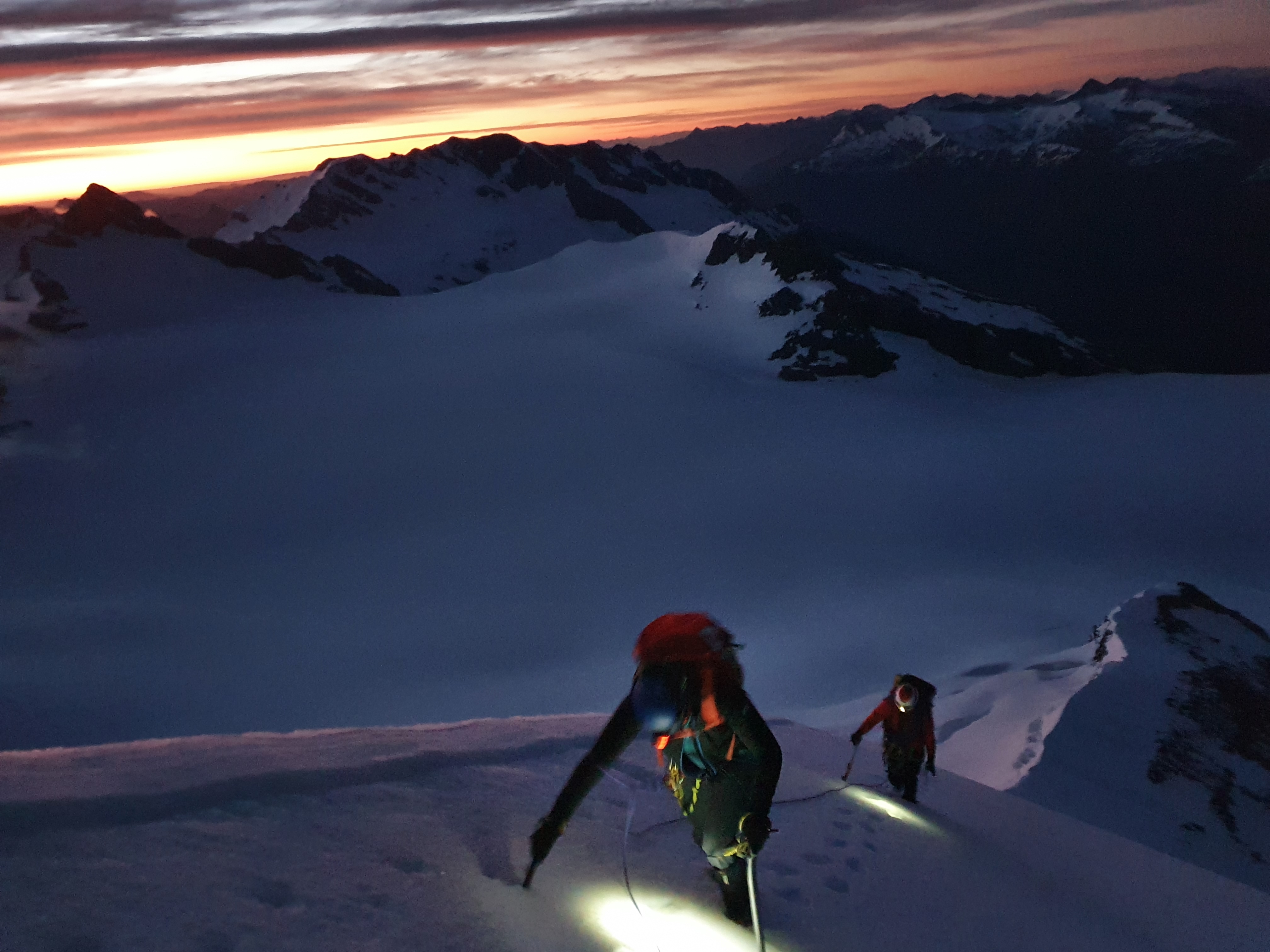
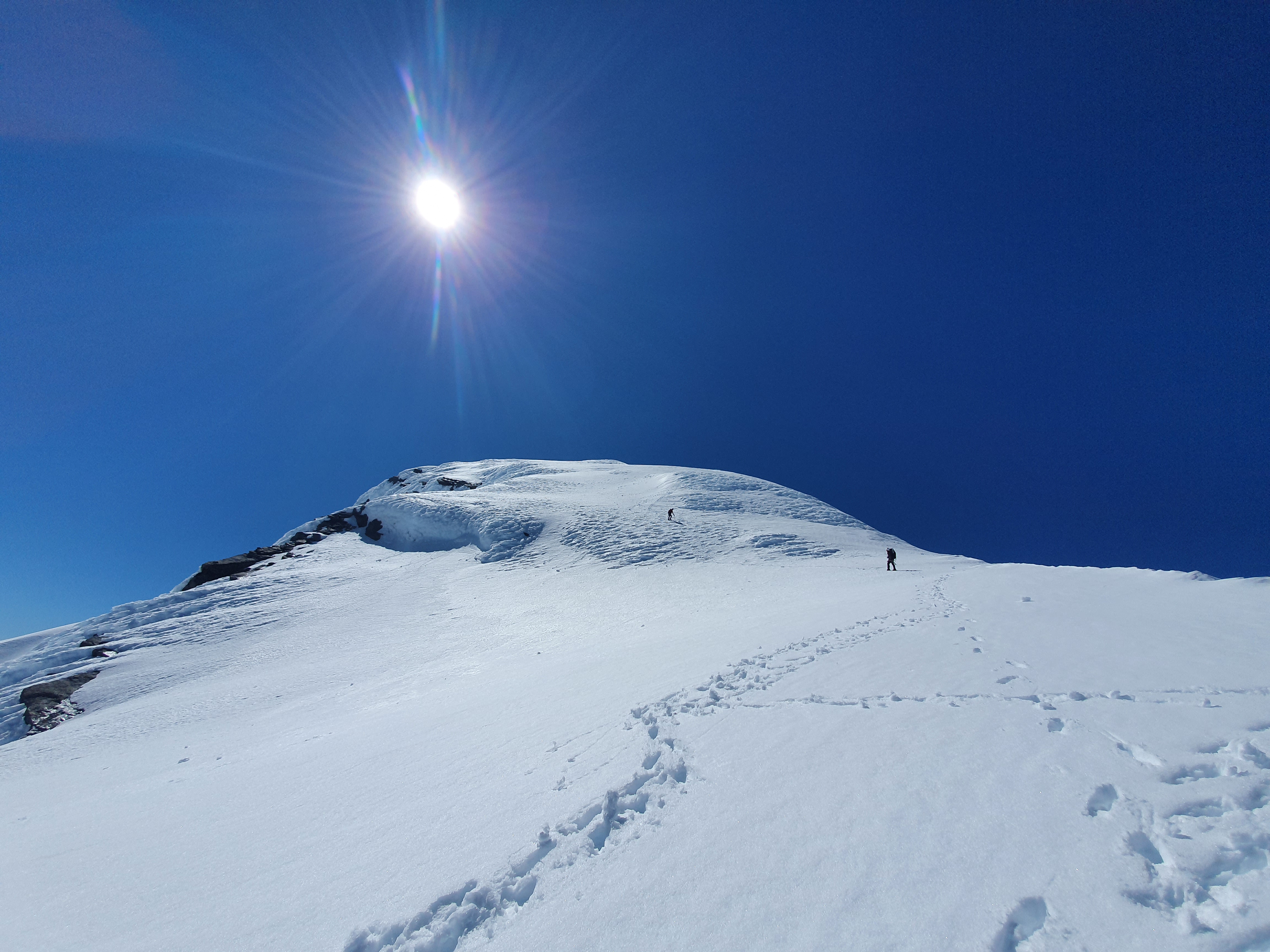
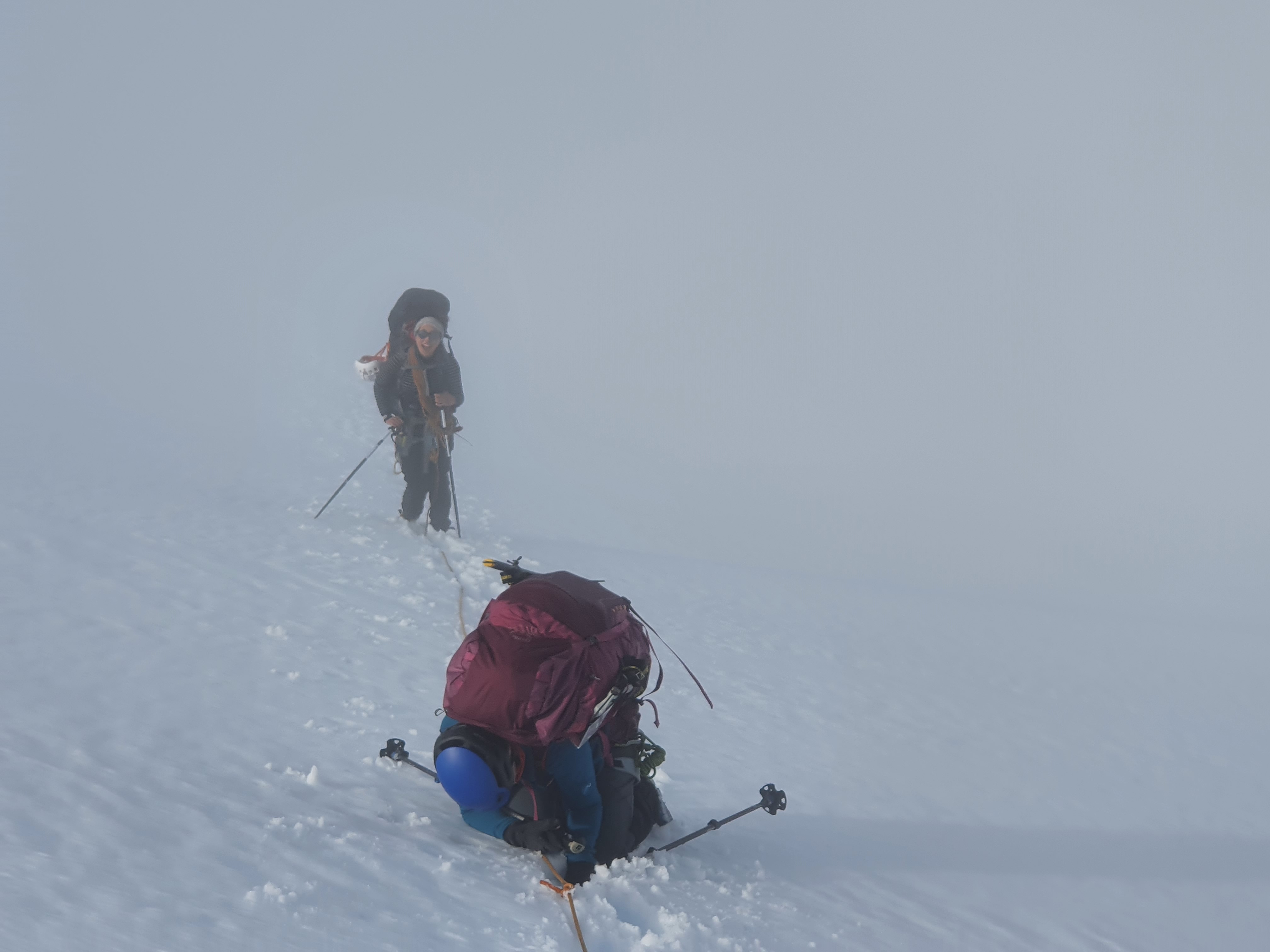
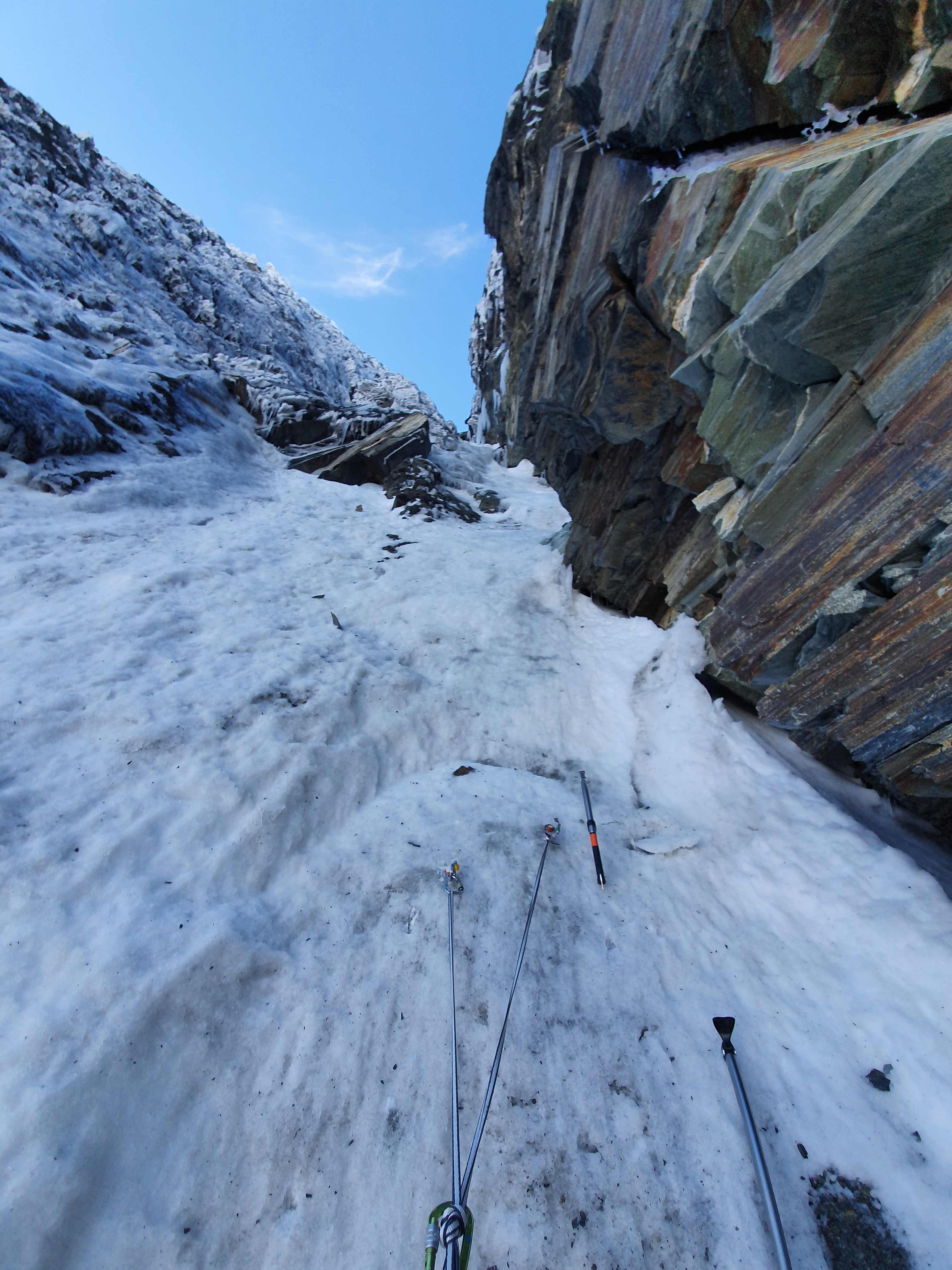
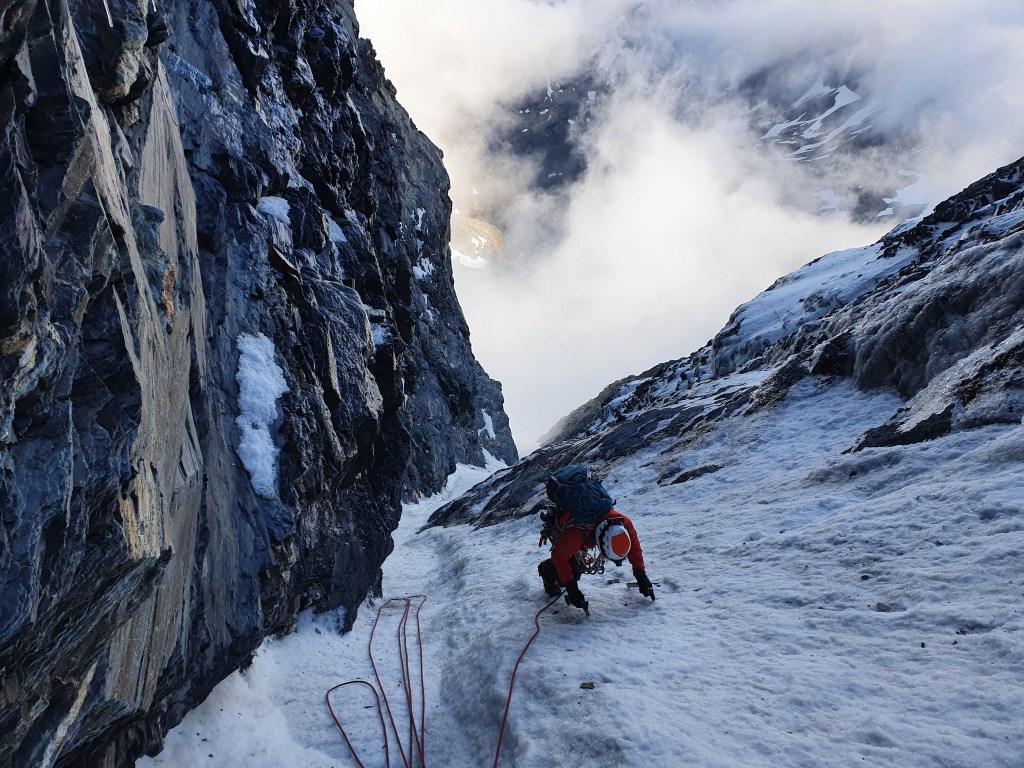
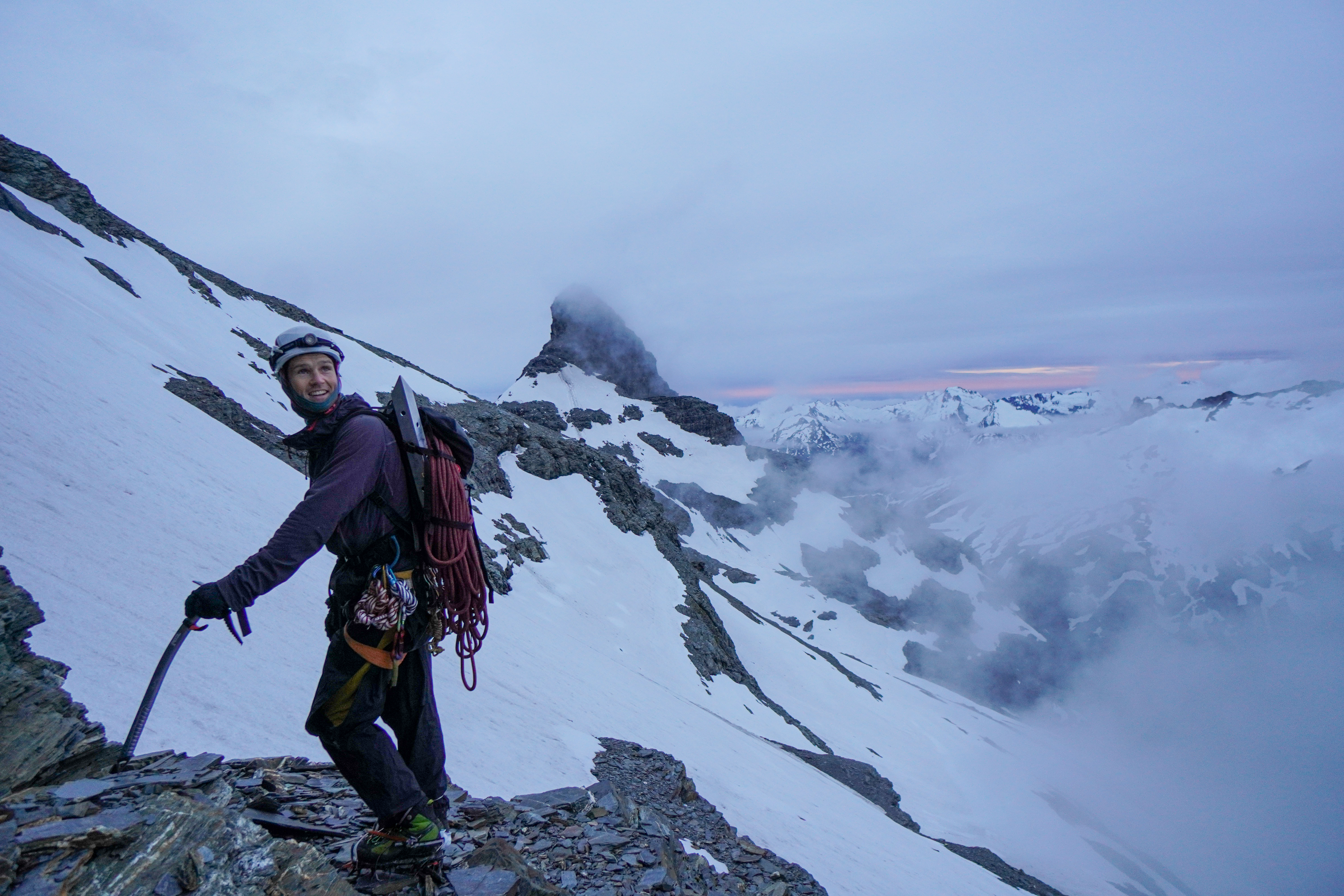
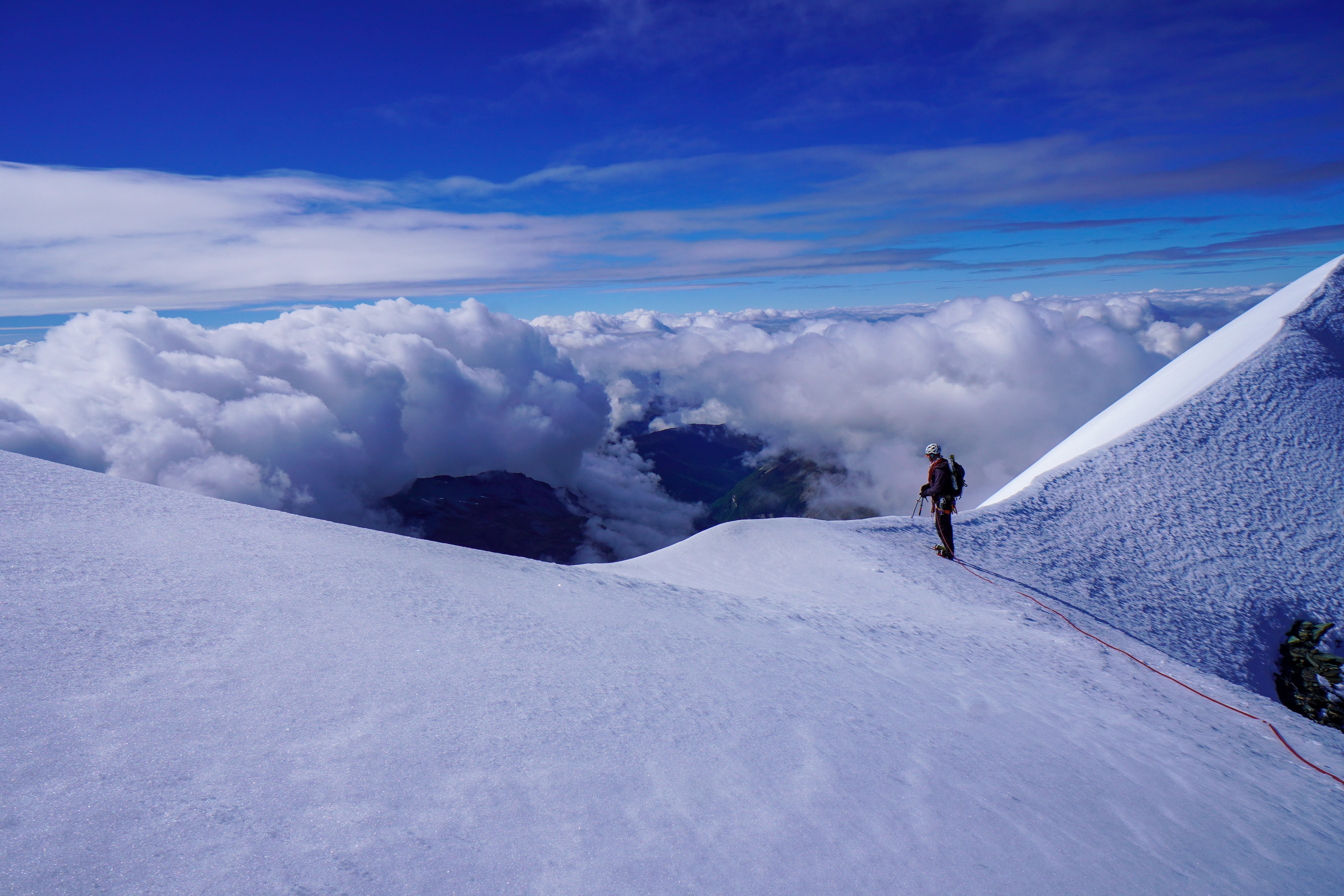
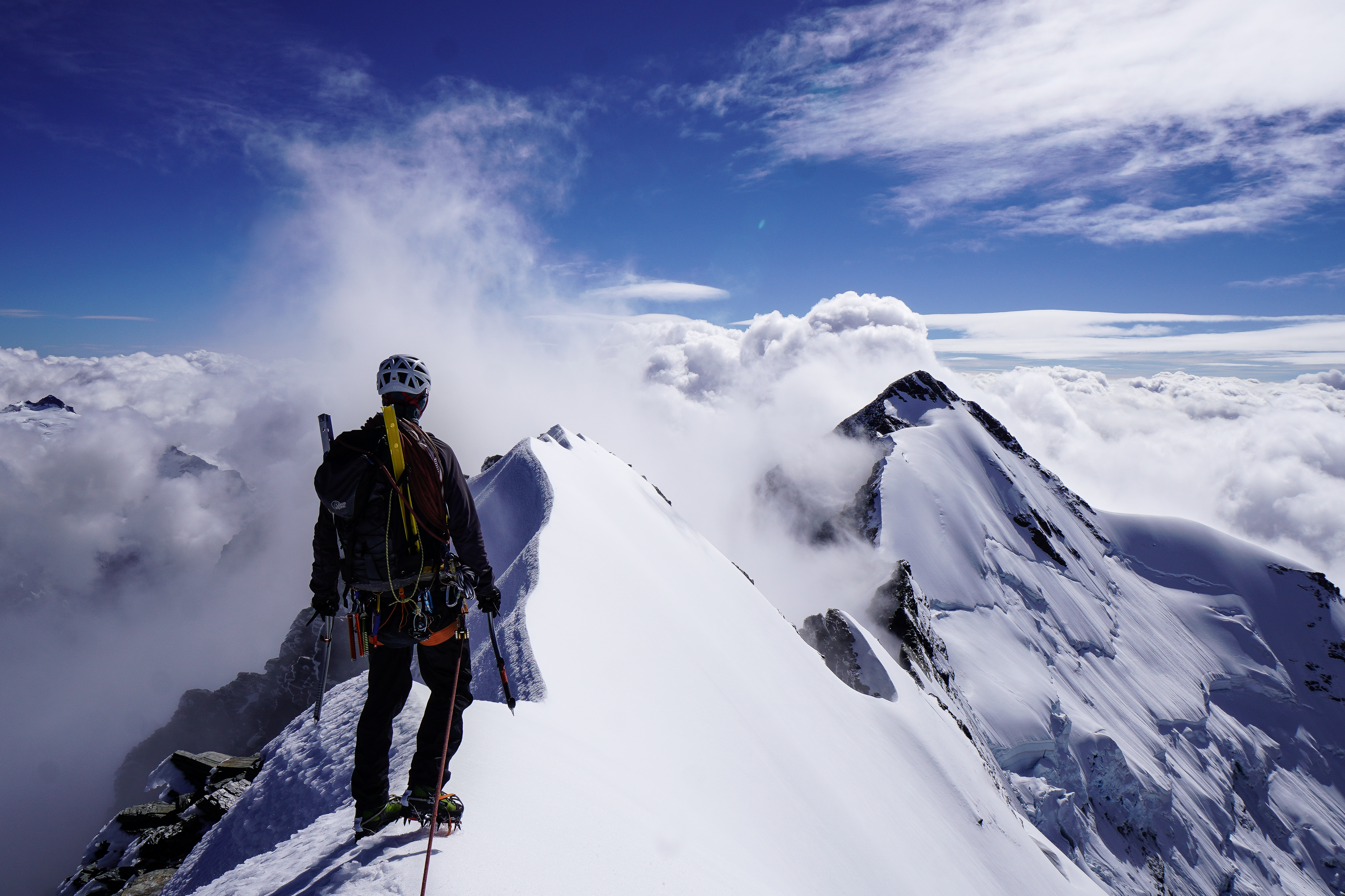
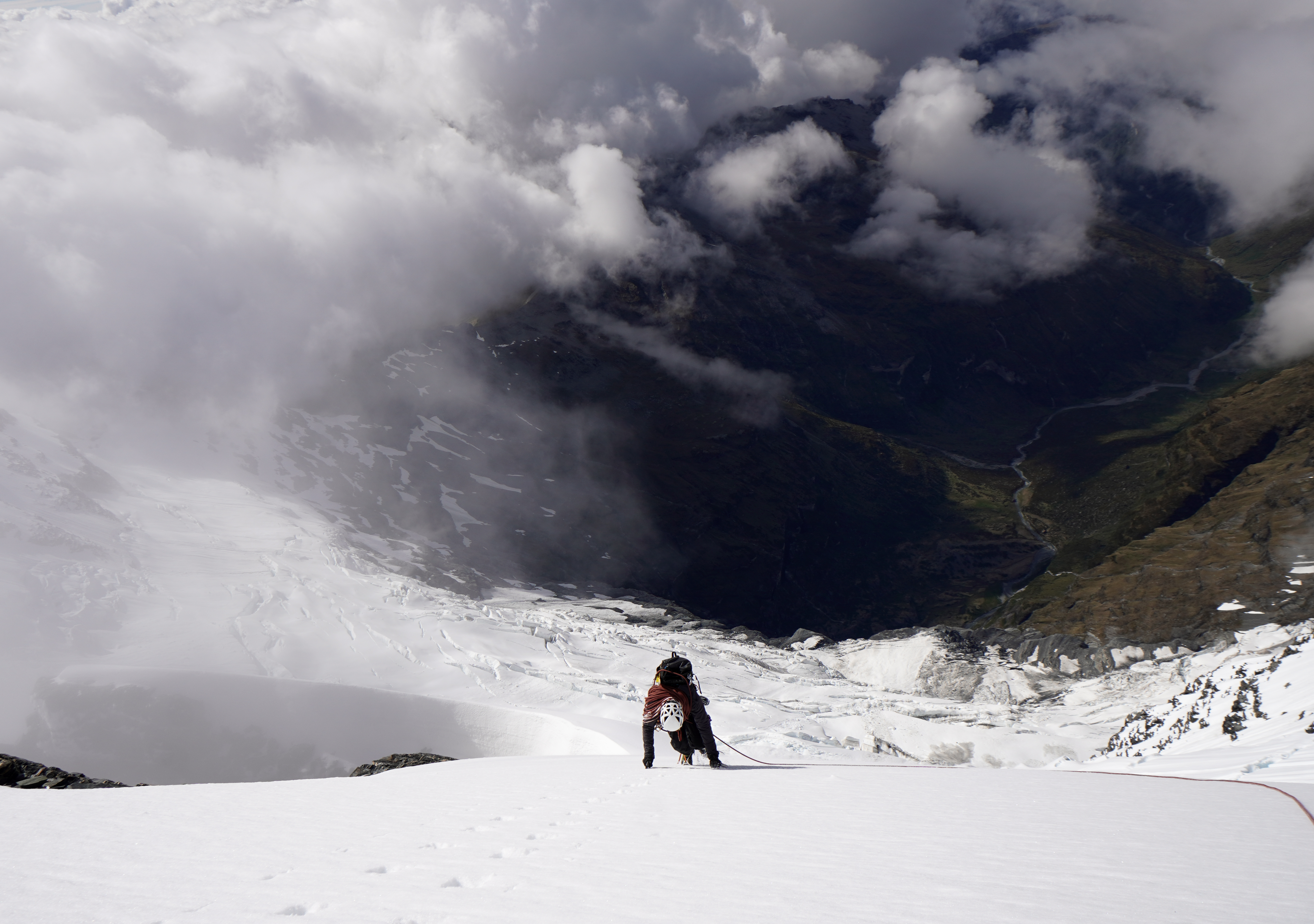
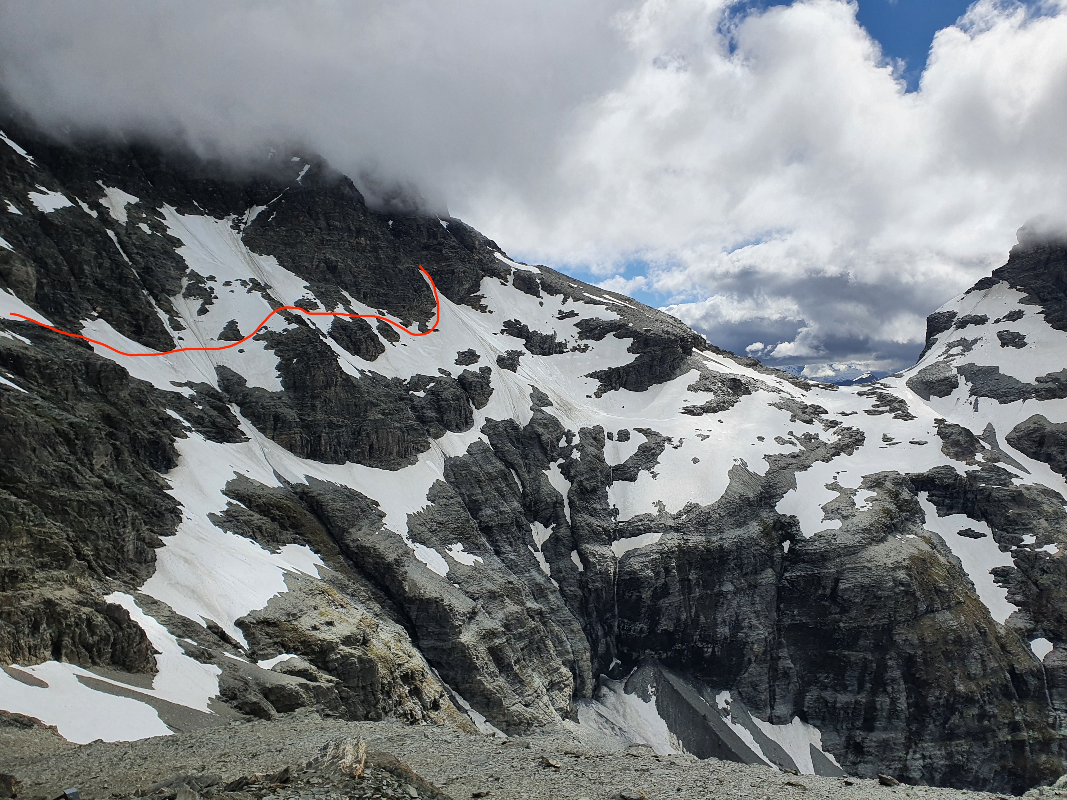
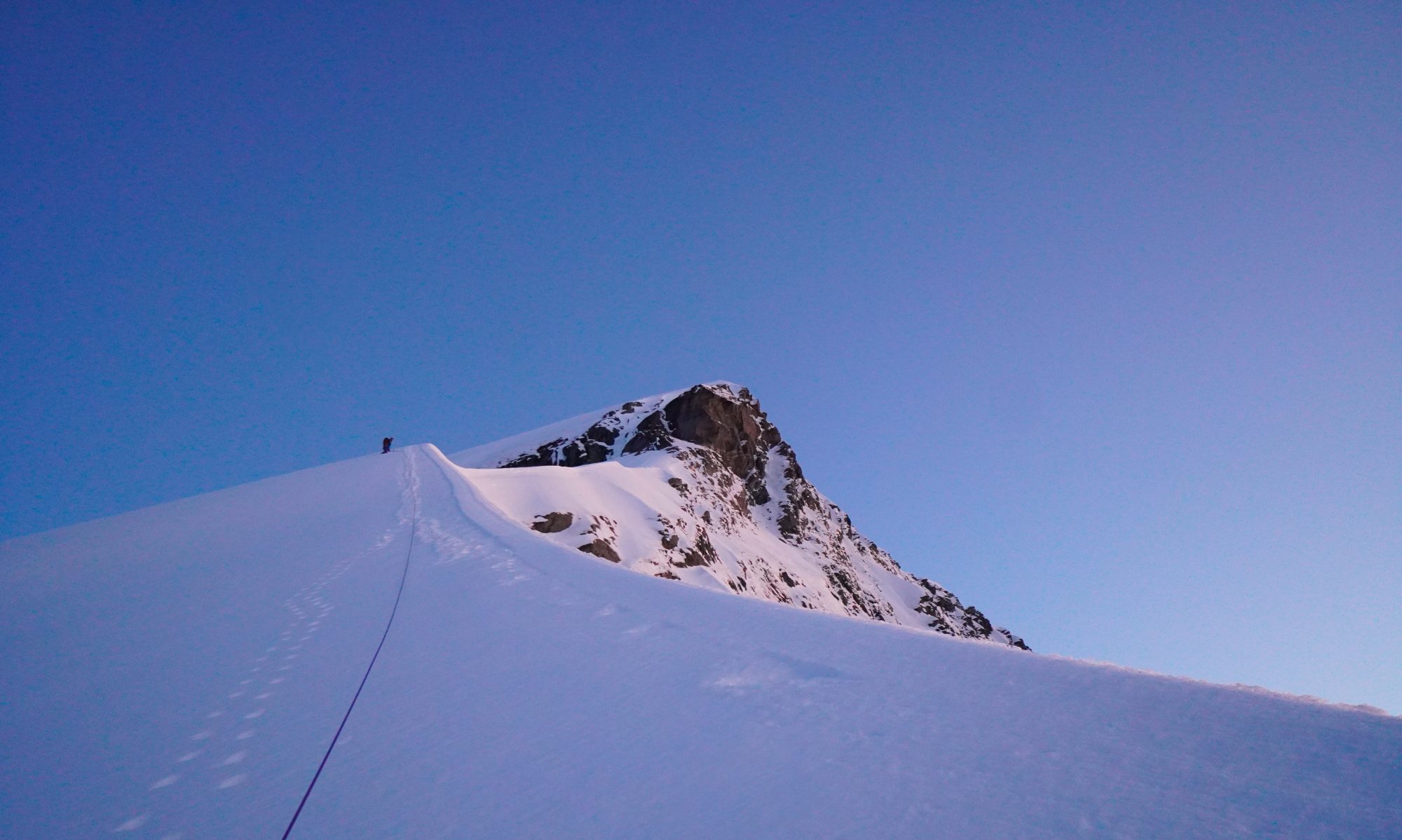
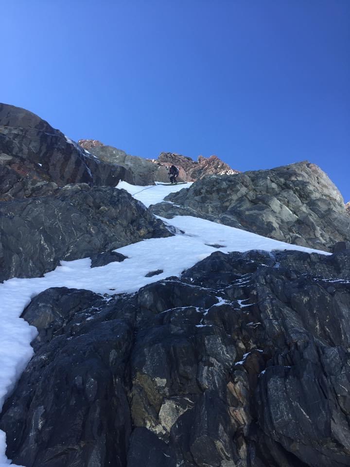
Pretty straightforward when the conditions are good. We had a good overnight freeze and so fast efficient cramponing conditions. We skinned (ski crampons were essential) south from the hut to the base of the couloir just south of the NW ridge. From here we transitioned to crampons and booted up the route. We used the rope to cross the shrund at the base but otherwise we soloed the whole way making fast progress. The couloir fans out into a couple of possible exits at the top – if you continue directly up fall line it turns into some M2 mixed climbing up to the West ridge and Low Peak. We wanted to just maximise the amount of skiing and so didnt bring equipment for mixed climbing or raps, and headed to climbers left up a narrow couloir onto an open snow fan at around 3300m. Another option from here would be traversing north to Porter Col if you wanted the summit without any mixed climbing. For us that would have been bare ice on this section, so once the snow ran out we transitioned to skis. This was a technical transition, on very steep exposed and firm snow, and any equipment (or people) dropped at this point would end up on the Empress shelf 1000m below. We protected it with a snow stake belay.
It took us around 3 hours from the hut to climb the route. We had perfect conditions and soloed the whole route so it may take longer than this
Ski Descent
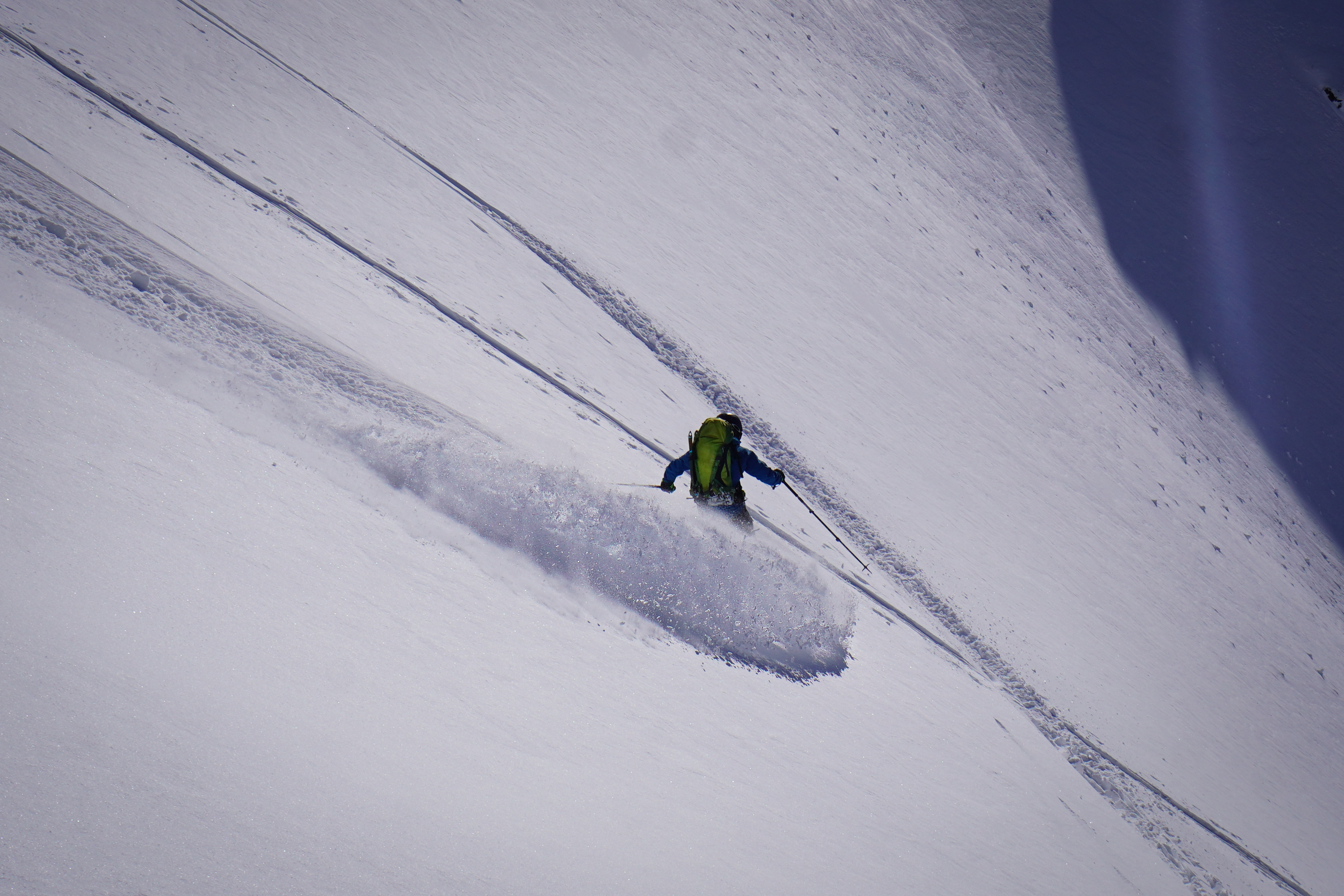
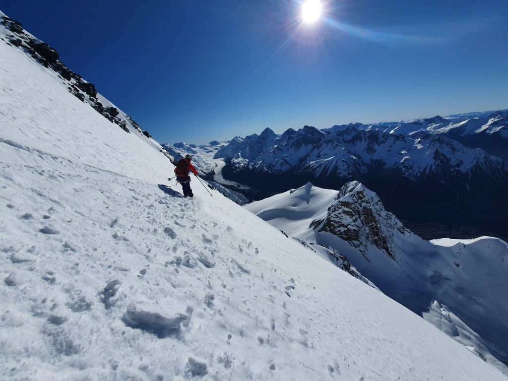
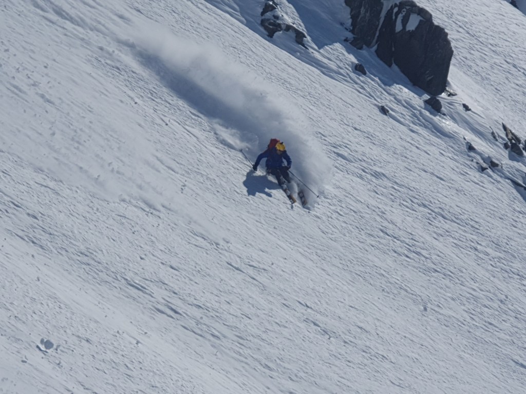
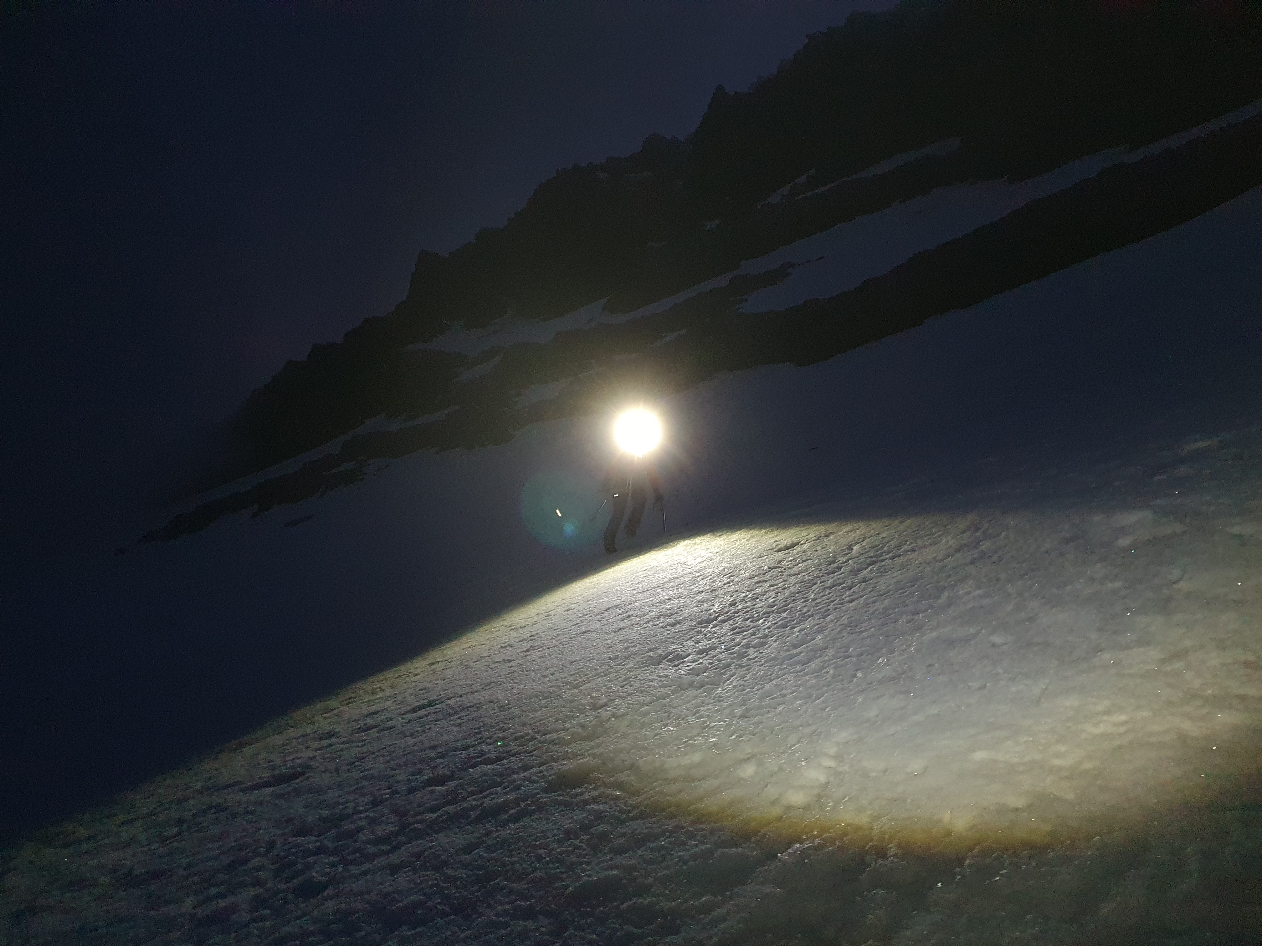
We started skiing at 9am. This was too early and the snow was still pretty firm, which given the exposure made things pretty spicy. We had to be back in the village that evening though and didnt want to be coming back down over those snowbridges too late in the day. Time to put the edges through their paces!
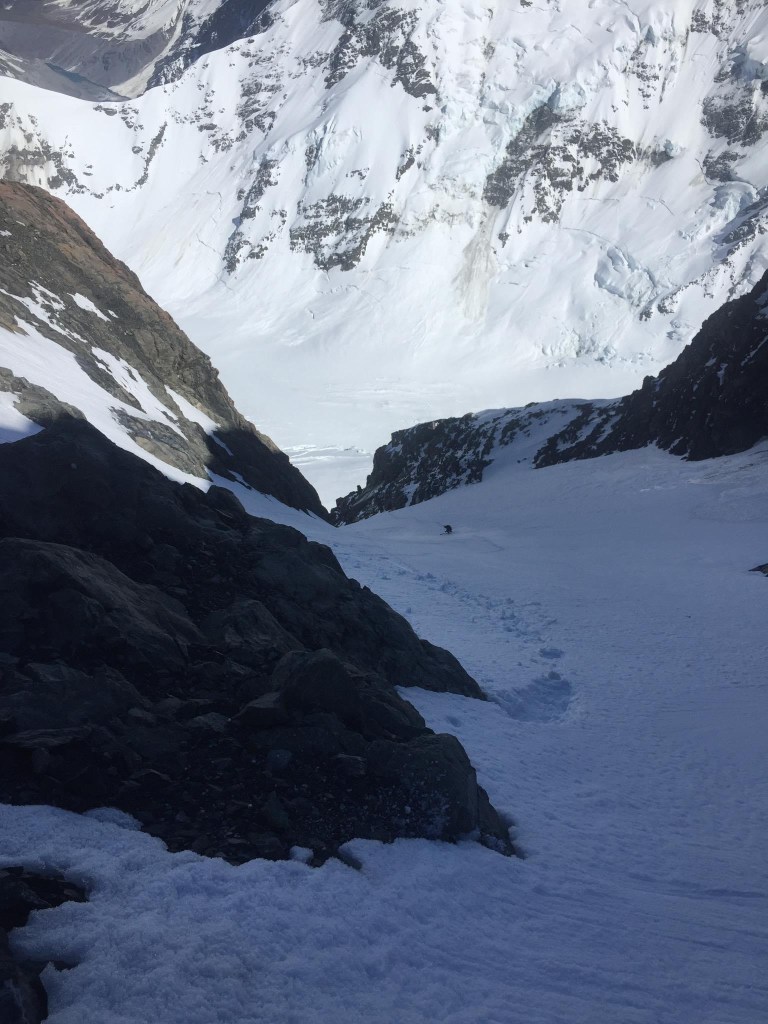
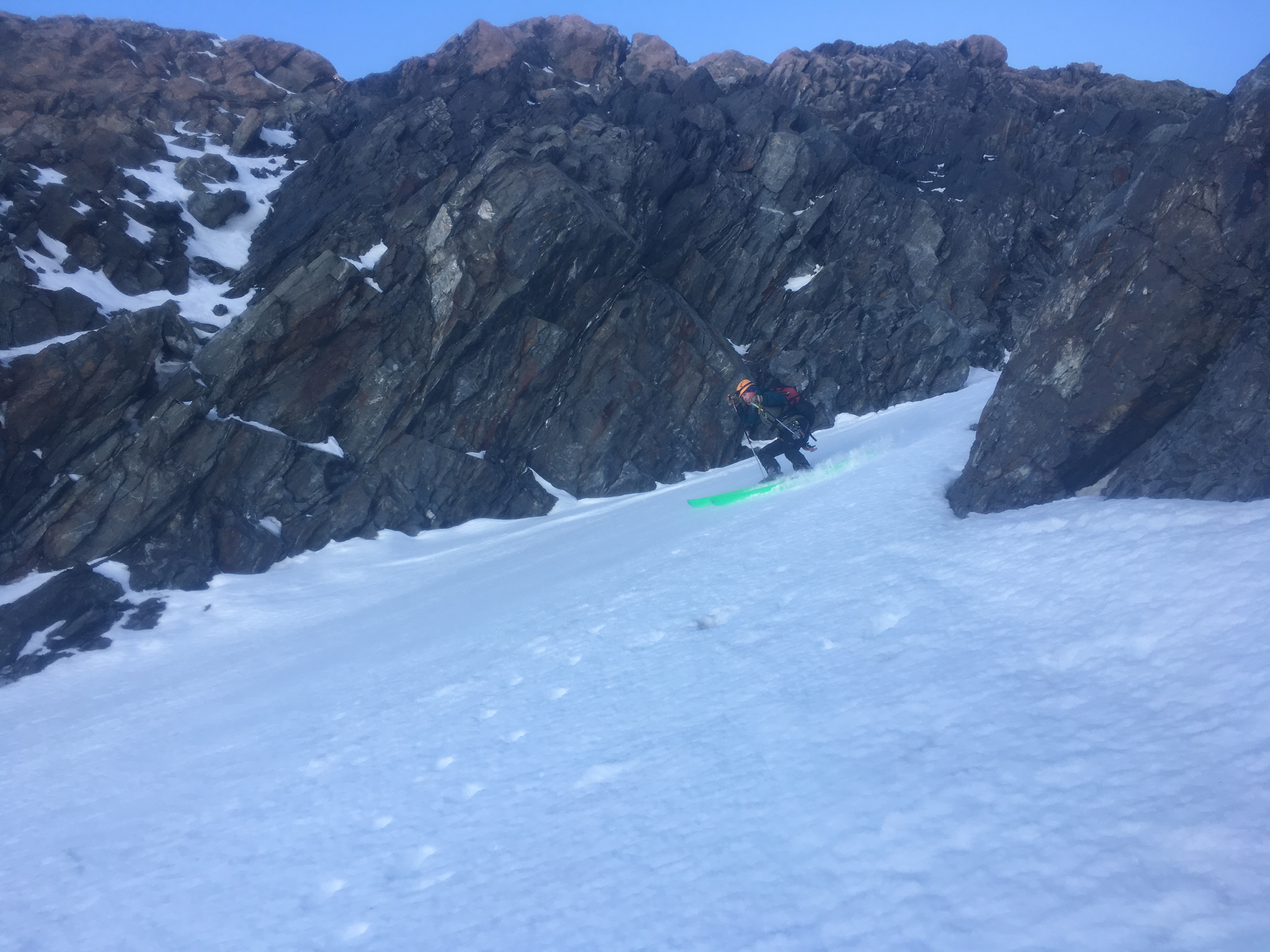
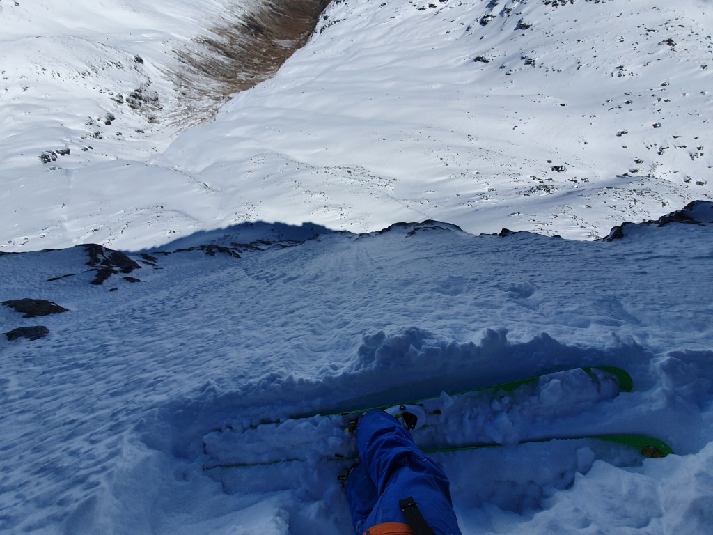
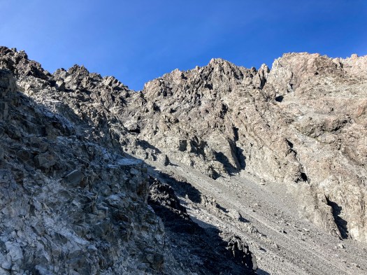
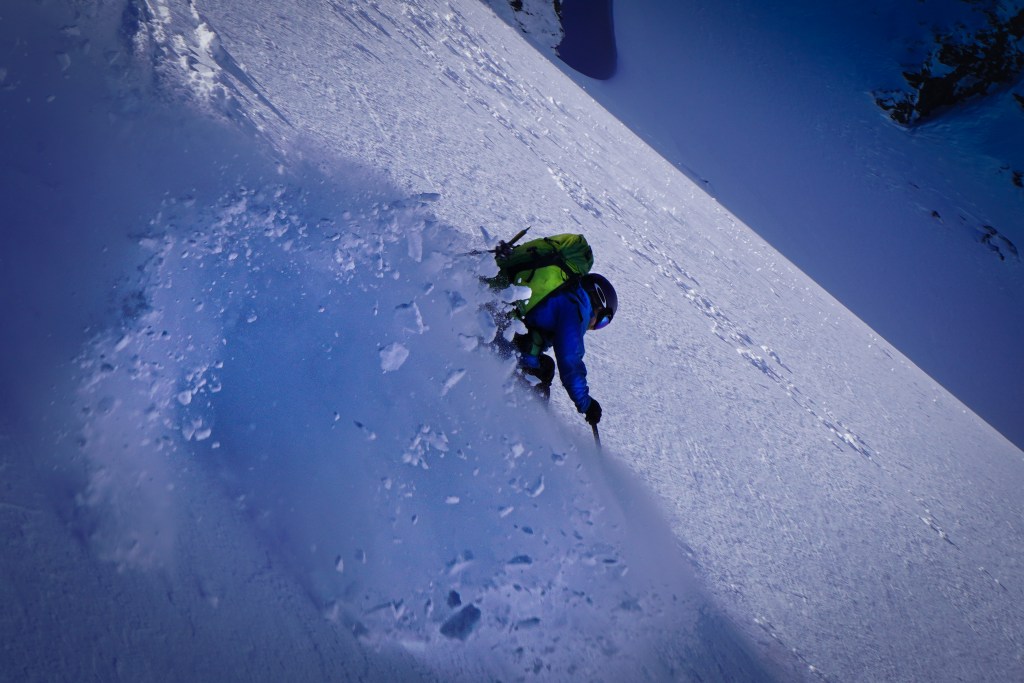
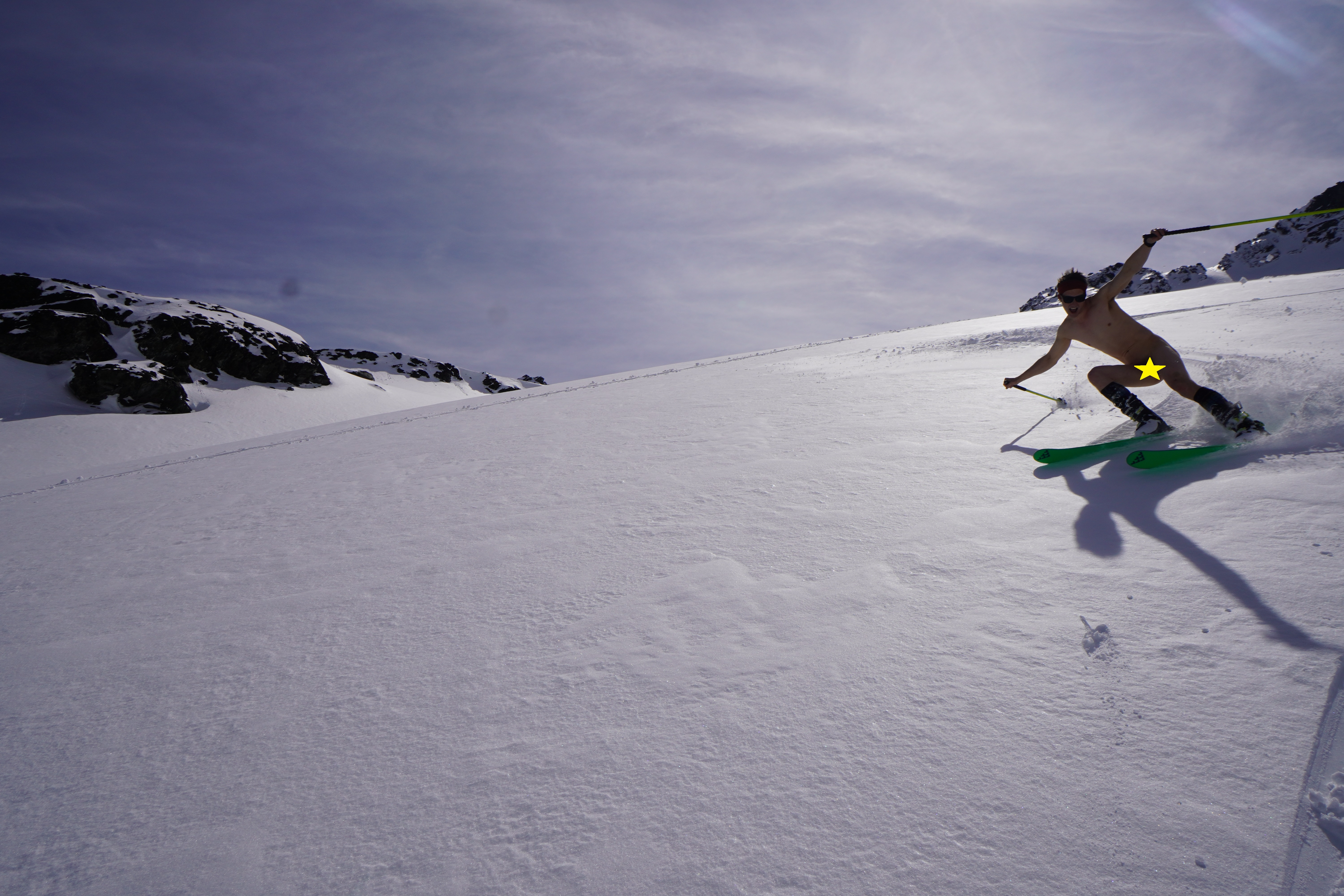
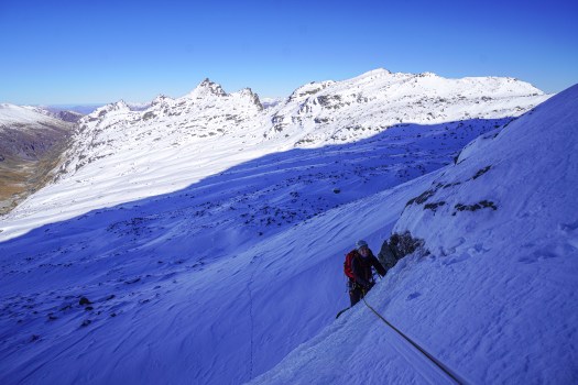
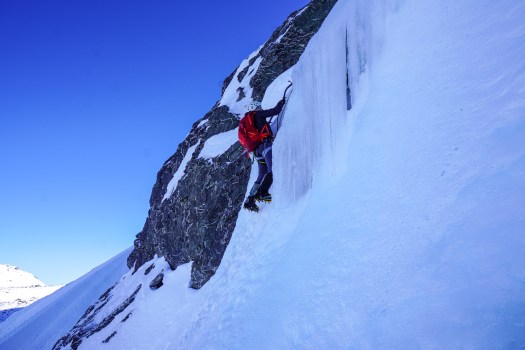
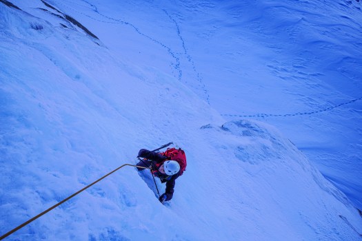
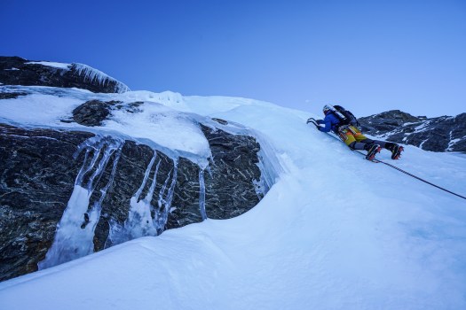
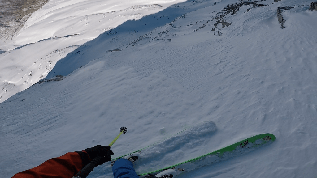
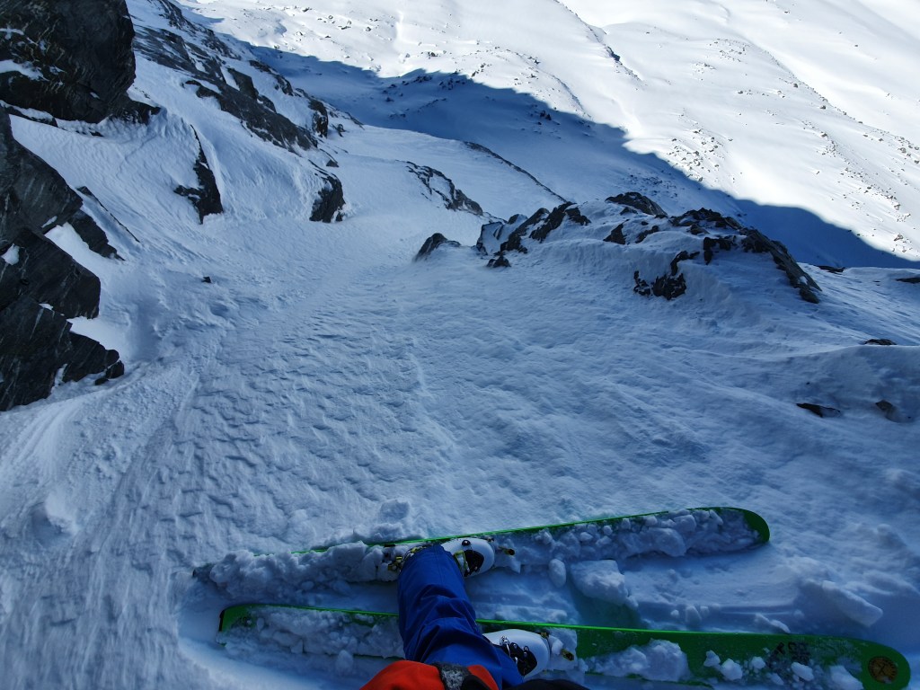
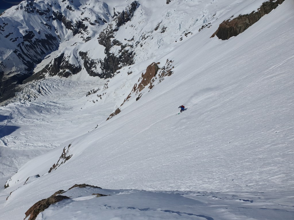
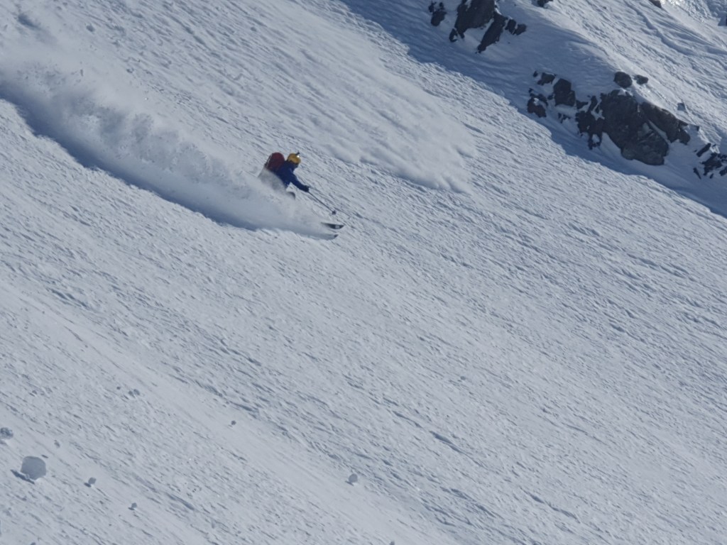
The initial snow fan was a touch under 50 degrees, and wide and open (but with serious exposure to the right). Once we hit the couloir the steepness ramped up to over 50 deg, and initially only just wider than a ski length. Cue cautious high pressure jump turns. This steep technical skiing lasted around 100-200m before the couloir gets much wider and the angle eases slightly and we opened it up a little bit more. Your still pretty exposed in this section as there is a dog leg and small cliff right at the bottom of the couloir to negotiate.
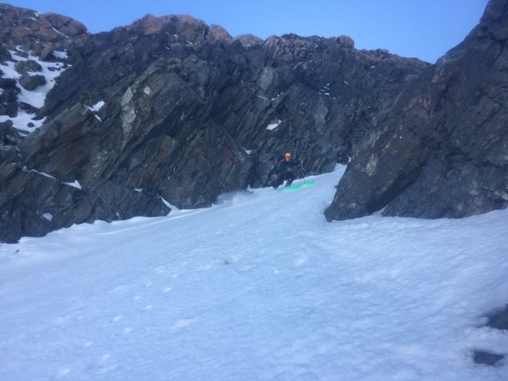
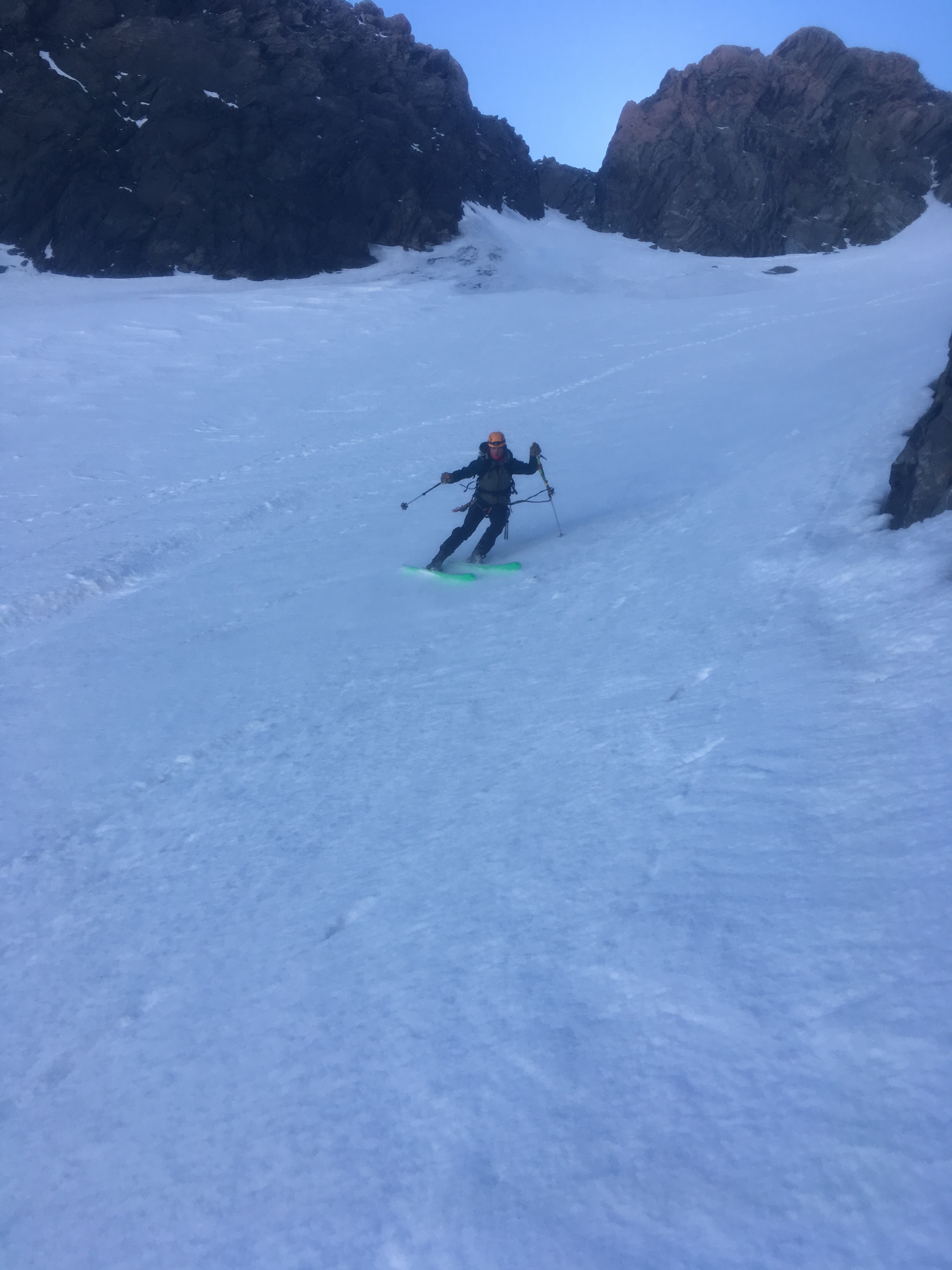
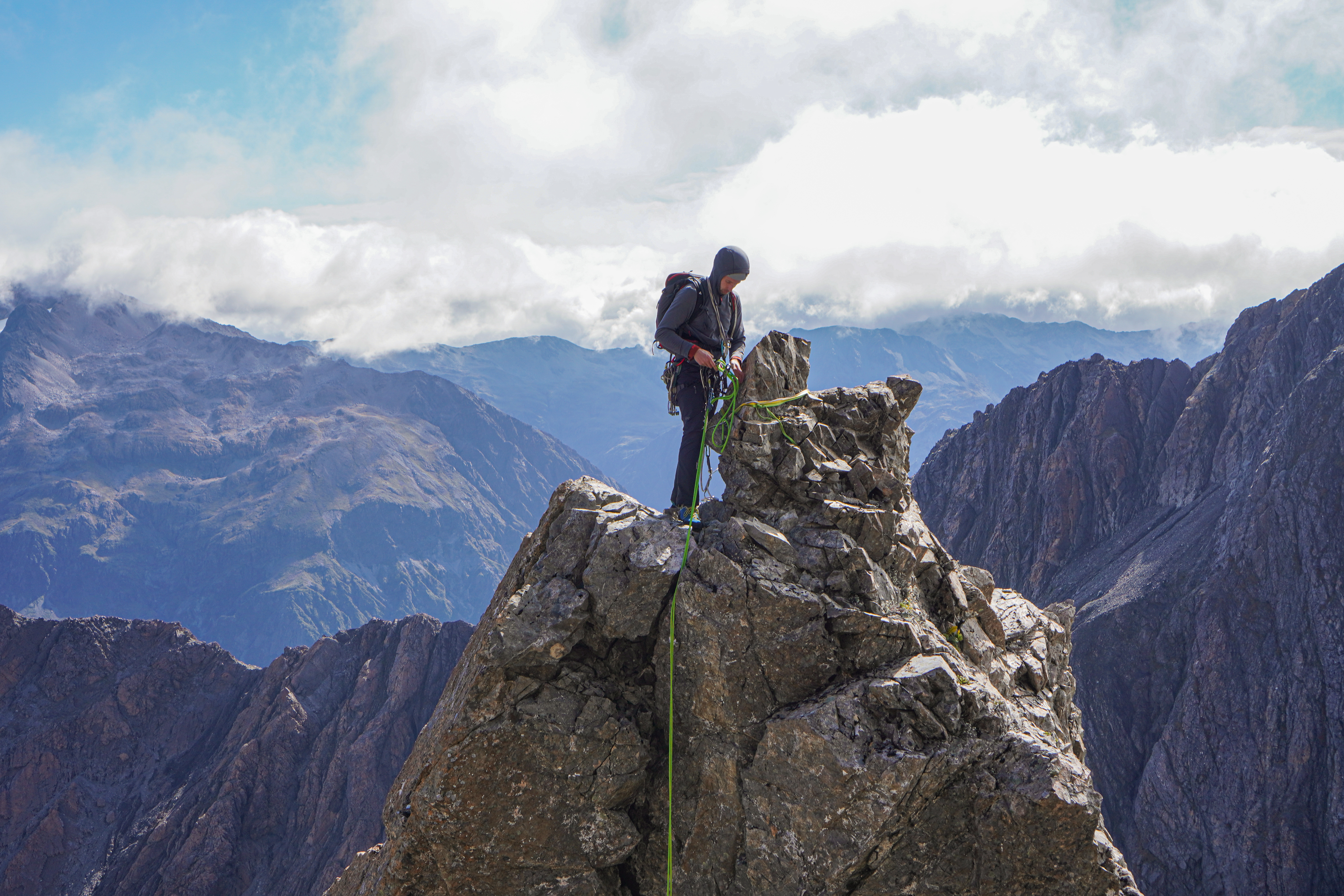
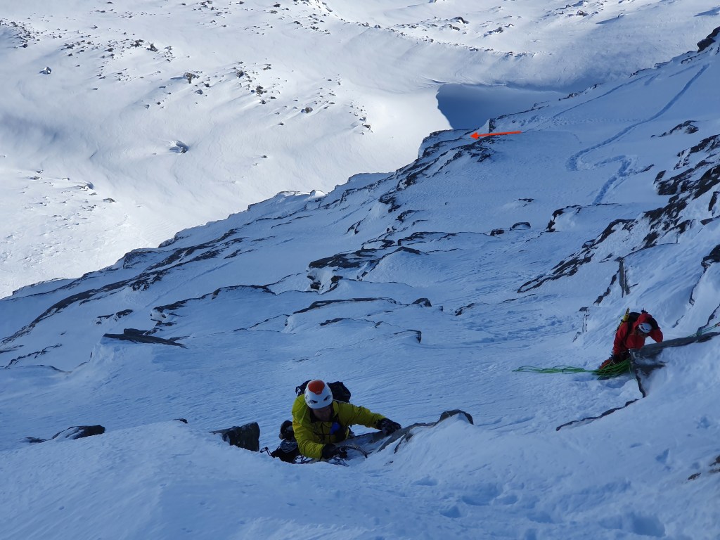
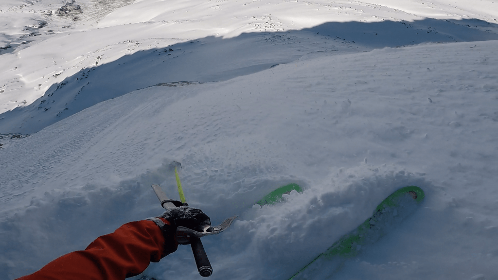
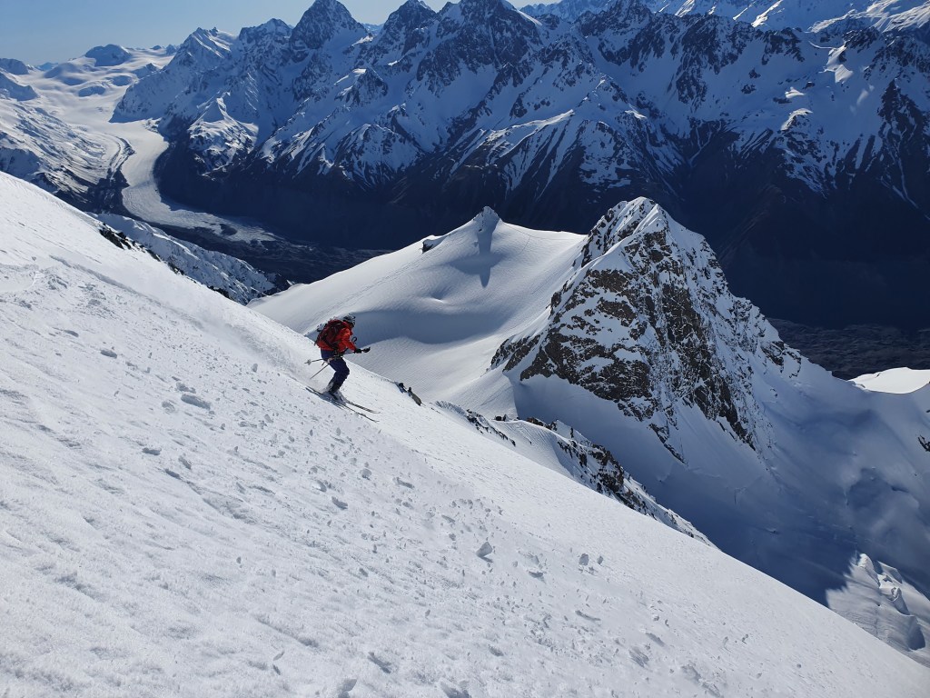
Right at the bottom we made a 15m rap to get through the dog bone, putting us just above the shrund. There was a good spike to leave tat around for the rap. From here we just had to make the obligatory shrund send to get into the sun and beautiful corn on mellow 35 degree slopes. Sometimes a route might go from here south crossing the Noeline Glacier to drop you at the bottom of the Hooker (passing just to the left of the W of West ridge on the map) but we had scoped this on the way in and it was a no go. So we skiied back to the hut, grabbed the rest of our kit and headed down the same way we came.
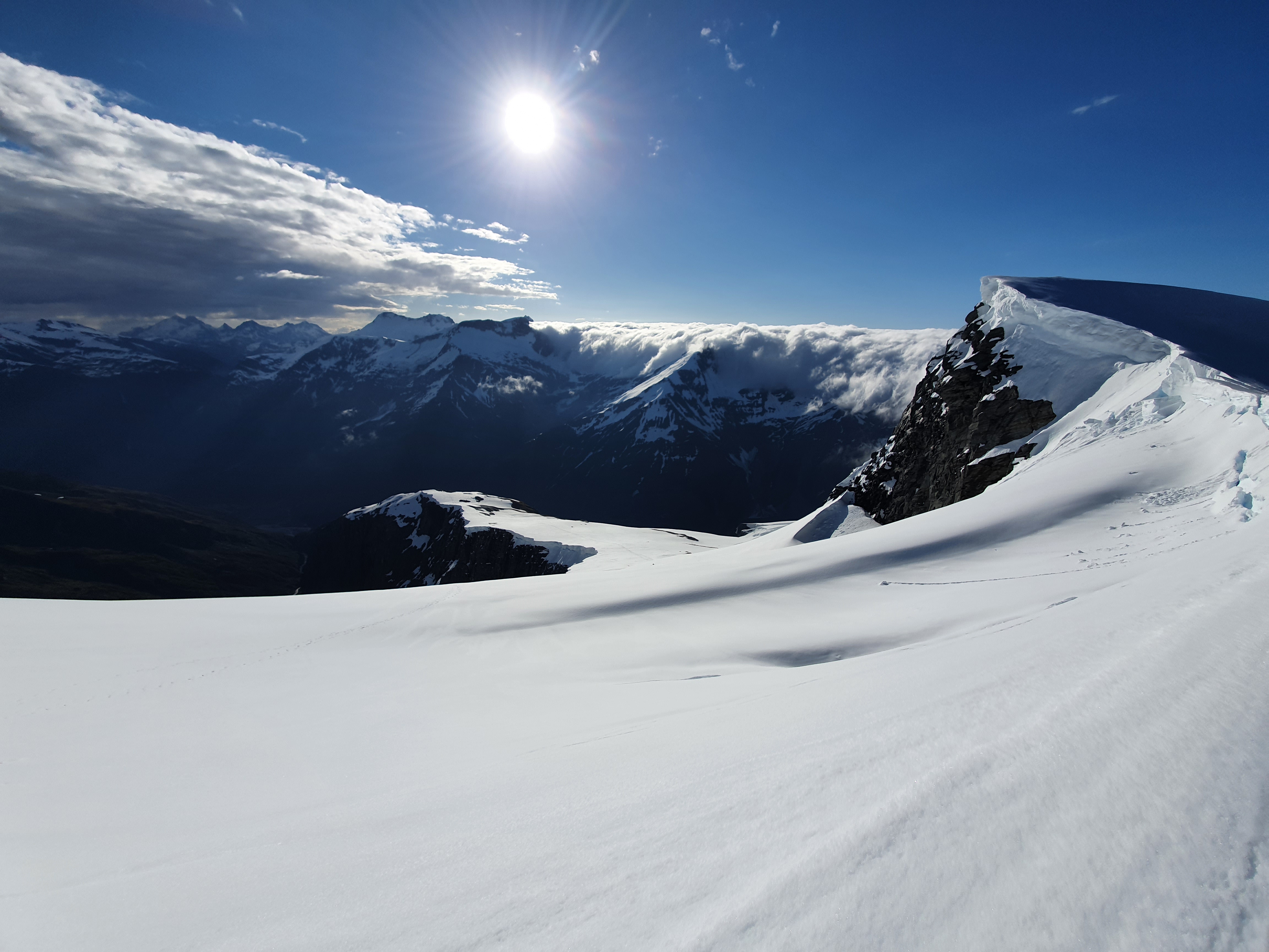
We blasted it down the top section of the glacier until reaching the ice fall under Baker saddle. Given how open this section is we decided to ski down through it while roped together. This is pretty difficult and theres a real risk of it causing more harm than good – if you dont have perfect timing and very clear communication as you cross the gaps you risk just pinging your partner off balance and throwing them into the crevasse. We had our system dialled and were moving slowly carefully and precisely through the crevasses – until a rock fall released from the Baker Saddle area 200m directly above us. Caution had to go out the window and we started straight lining it through the maze of narrow snowbridges to a safe spot out of the firing line. Probably one of the scarier experiences Ive had in the mountains!

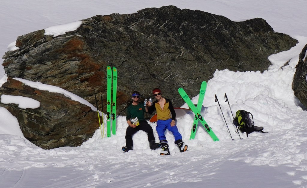
Once through this it was a case of reversing the Moraine slog. It was pretty scorching by this point, but there are a couple of hidden water sources on the morraine to get us through. We made it back down in time for a feed and post mission beer in Twizel before hitting the road back to Chch